Typhoon Bavi threatens Okinawa with 270 kph gusts this weekend
Synopsis
Typhoon Bavi — the ninth storm of Japan's 2025 typhoon season and one of the most powerful systems in the western Pacific this year — is bearing down on Okinawa with 270 kph gusts and a 920 hPa central pressure. Coming just weeks after Typhoon Jangmi triggered a Level 5 flood warning in Wakayama, this is a stark reminder that Japan's southwestern island chain is entering a dangerous stretch of the season.
Key Takeaways
Typhoon Bavi , the season's ninth typhoon, is packing gusts of up to 270 kph and a central pressure of 920 hectopascals .
The storm is forecast to approach Okinawa Prefecture with very strong intensity around Friday and Saturday, 11-12 July .
Seas around Okinawa and the Amami region of Kagoshima are expected to turn very rough from around Thursday .
Rough seas may also affect the southern coast of Kyushu , depending on the typhoon's final track.
The warning follows Typhoon Jangmi , which triggered a Level 5 special flood warning for the Koza River in Wakayama Prefecture last month.
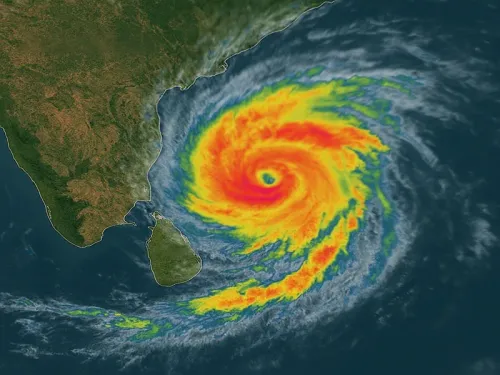
Typhoon Bavi, a very large and violent tropical cyclone packing gusts of up to 270 kph, is forecast to approach Japan's southern island prefecture of Okinawa with very strong intensity around Friday and Saturday, the Japan Meteorological Agency (JMA) warned on Tuesday, 7 July. The storm is currently the ninth typhoon of the season and is being tracked as one of the most powerful systems in the western Pacific this year.
Current Track and Intensity
As of 3 am local time on Tuesday, Typhoon Bavi was moving westward near the Mariana Islands in the Pacific at a speed of 30 kilometres per hour. The storm's central atmospheric pressure stood at 920 hectopascals — a figure that meteorologists associate with an extremely powerful typhoon. The JMA said the system is expected to change course northward before potentially making its closest approach to Okinawa by the weekend.
What Okinawa and Nearby Regions Can Expect
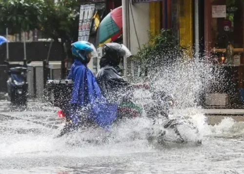
Seas around Okinawa Prefecture and the Amami region of Kagoshima Prefecture are expected to turn very rough from around Thursday. By Friday, Okinawa could face severe weather and warning-level torrential rainfall. Depending on Bavi's final track, rough seas may also develop off the southern part of Kyushu, Japan's southwestern main island. The JMA has urged the public to monitor the latest forecasts and heed weather warnings as the situation evolves.
Context: Typhoon Jangmi's Recent Impact
This warning comes just weeks after Typhoon Jangmi made landfall in the southern part of Wakayama Prefecture in western Japan last month, prompting the JMA to temporarily issue a Level 5 special flood warning — the highest alert on its one-to-five scale — for flooding of the Koza River running through Wakayama. The warning was subsequently downgraded to Level 2, but officials had urged residents to remain alert for rising river levels. Torrential and extremely heavy rain was recorded along the Pacific side of both western and eastern Japan during that event.
What Authorities Are Saying
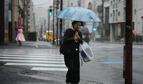
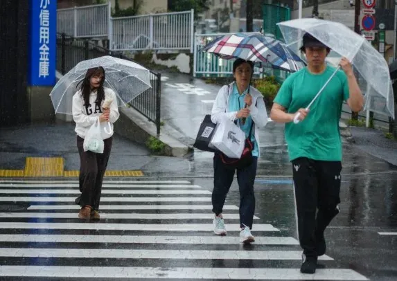
The JMA has advised residents across the potentially affected prefectures to stay updated with official forecasts and prepare for rain-related disasters. Officials noted that the typhoon's precise track remains subject to change, making continued vigilance essential. This is the second significant typhoon threat to Japan's southwestern island chain within a matter of weeks, underlining what forecasters describe as an active and intense 2025 typhoon season.
Point of View
With Jangmi's Level 5 flood warning barely behind us. The JMA's track models still carry uncertainty, but the intensity alone demands that Okinawa treat the worst-case scenario as the planning baseline, not the outlier. Japan's disaster-preparedness infrastructure is among the world's best, but repeated high-intensity events in a compressed window strain even the most resilient systems.
NationPress
5 Oct 2026
Frequently Asked Questions
Where is Typhoon Bavi now and where is it headed?
As of 3 am on Tuesday, 7 July, Typhoon Bavi was near the Mariana Islands in the Pacific, moving westward at 30 kph. It is forecast to turn northward and approach Okinawa Prefecture with very strong intensity around Friday and Saturday.
How powerful is Typhoon Bavi?
Typhoon Bavi is carrying gusts of up to 270 kph with a central atmospheric pressure of 920 hectopascals, placing it among the most intense typhoon-category storms in the western Pacific this season.
Which areas in Japan are at risk from Typhoon Bavi?
Okinawa Prefecture and the Amami region of Kagoshima Prefecture face the most direct threat, with very rough seas expected from Thursday and severe weather from Friday. Parts of Kyushu's southern coast may also see rough seas depending on the storm's track.
What should residents in Okinawa do to prepare?
The Japan Meteorological Agency has urged the public to monitor the latest official forecasts and weather warnings closely. Given the storm's intensity and the potential for warning-level torrential rainfall, residents should follow local disaster-preparedness guidelines and be ready to evacuate if authorities issue orders.
How does Typhoon Bavi compare to the recent Typhoon Jangmi?
Typhoon Jangmi made landfall in Wakayama Prefecture last month and prompted a Level 5 special flood warning — the highest on the JMA's scale — for the Koza River. Bavi is currently tracking as a more intense system by central pressure and wind speed, though its final impact will depend on the exact landfall track and speed.