Bihar CM launches TechConnect portal, BIRSAC signs MoU with Survey of India
Synopsis
Bihar's Chief Minister launched the 'TechConnect' portal and witnessed BIRSAC sign an MoU with Survey of India on 29 October 2026, advancing the state's geospatial and digital governance agenda under India's National Geospatial Policy 2022.
Key Takeaways
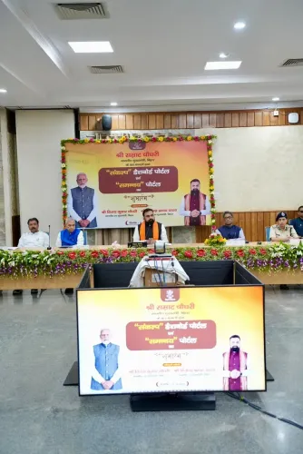
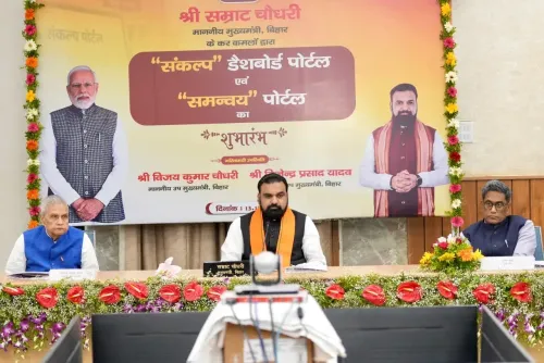
Bihar's Chief Minister formally launched the TechConnect portal on 29 October 2026 .
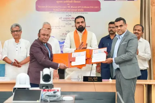
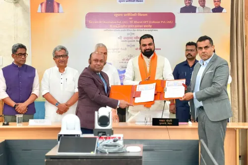
The Bihar Remote Sensing Application Centre (BIRSAC) signed an MoU with the Survey of India (SOI) at the same event.
BIRSAC is Bihar's nodal agency for remote sensing and GIS; SOI is India's apex national mapping body under the Department of Science and Technology.
The MoU aligns with India's National Geospatial Policy 2022 , which promotes state-SOI partnerships to modernise geospatial infrastructure.
Bihar's flood-prone geography makes robust remote-sensing data especially critical for disaster management, land records, and agricultural planning.
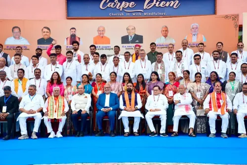
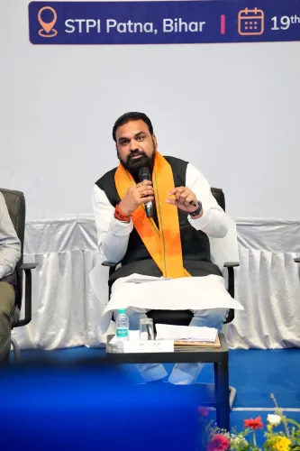
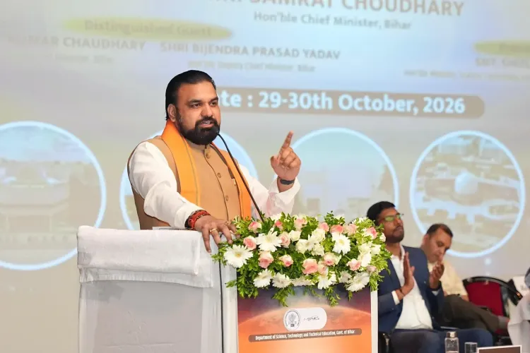
Bihar's Chief Minister took a decisive step toward geospatial-powered governance on Thursday, 29 October 2026, launching the 'TechConnect' portal and presiding over a landmark agreement between two of India's most important mapping bodies — a moment that signals the state's serious pivot into data-driven administration.
The Chief Minister's Office of Bihar announced that the Chief Minister formally inaugurated the TechConnect portal at the event. Simultaneously, the Bihar Remote Sensing Application Centre (BIRSAC) and the Survey of India (SOI) signed a Memorandum of Understanding (MoU), formalising a partnership between Bihar's nodal geospatial agency and the country's apex national mapping organisation.
What BIRSAC and Survey of India bring to the table
BIRSAC functions as Bihar's dedicated centre for remote sensing and Geographic Information Systems (GIS), channelling satellite and spatial data into state planning, agriculture monitoring, and development schemes. Survey of India, operating under the Department of Science and Technology, is India's oldest and most authoritative mapping body — the custodian of national geospatial data and cartographic standards. When a state agency like BIRSAC formally ties up with SOI, the practical payoff is substantial: access to high-resolution base maps, standardised geodata layers, and technical expertise that can sharpen everything from land-record management to flood-risk mapping across Bihar's 94,163 sq km terrain.National Geospatial Policy 2022 as the policy backbone
This MoU does not emerge in a vacuum. India's National Geospatial Policy 2022 explicitly encourages state governments to forge partnerships with Survey of India to modernise mapping infrastructure and liberalise geospatial data access. Bihar's agreement is part of a broader pattern across Indian states — from Uttar Pradesh to Odisha — that have entered similar arrangements to deploy remote sensing for urban planning, disaster management, and agriculture under the Digital India umbrella. Bihar has been building its e-governance scaffolding since the early 2010s, and the TechConnect portal appears designed to consolidate or extend that digital architecture — though the portal's specific features and service scope are yet to be detailed publicly.Why geospatial data matters for Bihar's planners
For a state grappling annually with floods along the Kosi, Gandak, and Bagmati river systems, precise remote-sensing data is not a luxury — it is operational infrastructure. GIS-backed land records reduce disputes, accelerate compensation disbursal, and feed into crop-insurance frameworks. The BIRSAC-SOI partnership, if executed with depth, could embed real-time spatial intelligence at the heart of Bihar's administrative decision-making in ways that paper maps and legacy surveys never could. The two signings — a new portal and a geospatial MoU — in a single sitting suggest a deliberate, coordinated technology push from Patna. Whether the ambition translates into measurable on-ground outcomes will depend on how quickly the two institutions move from signed paper to shared data pipelines.Point of View
Double-barrelled technology push by Bihar's government — not a routine ceremonial signing. Framed against the National Geospatial Policy 2022, the partnership positions Bihar as an active participant in India's wider effort to put satellite-grade spatial data behind state administration. For Bihar, which loses significant economic output to annual floods, the strategic logic is hard to argue with. The real test, however, is whether institutional momentum survives the transition from MoU to actual data infrastructure that reaches district planners and field administrators.
NationPress
29 Oct 2026
Frequently Asked Questions
What is the TechConnect portal launched by Bihar CM?
The TechConnect portal was launched by Bihar's Chief Minister on 29 October 2026 as part of the state's digital governance push. Its specific features and services had not been publicly detailed at the time of the announcement.
What is BIRSAC and what does it do?
BIRSAC, the Bihar Remote Sensing Application Centre, is the state's nodal agency for remote sensing and GIS applications. It provides geospatial data support for state planning, agriculture monitoring, land records, and disaster management.
Why did BIRSAC sign an MoU with Survey of India?
The MoU formalises a partnership to share geospatial data, mapping standards, and technical expertise between Bihar's state agency and India's apex national mapping organisation, consistent with the National Geospatial Policy 2022.
What is the National Geospatial Policy 2022?
India's National Geospatial Policy 2022 encourages state governments to partner with Survey of India to modernise mapping infrastructure and expand access to geospatial data under the broader Digital India framework.
How does geospatial data help Bihar's governance?
Bihar faces recurring floods from rivers like the Kosi and Gandak, making precise remote-sensing data critical for disaster management, crop insurance, land-record accuracy, and urban planning decisions across the state.