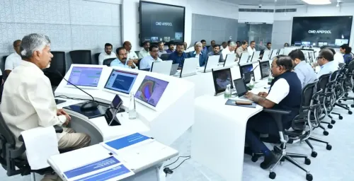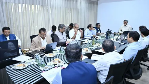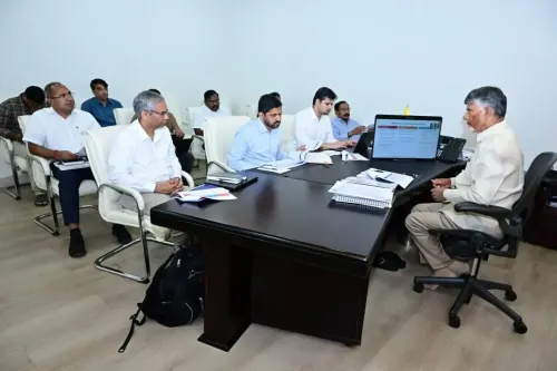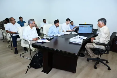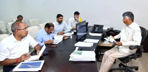


CM Chandrababu Chairs Cyclone Aquan Review Teleconference

Synopsis
Chief Minister Chandrababu Naidu convened a teleconference on November 17, 2026 to coordinate Andhra Pradesh's response to Cyclone Aquan, ordering continuous coastal alerts through grassroots Swarna Grama staff and banning fishermen from sea as heavy rains are forecast for November 19-20.
Key Takeaways
Cyclone Aquan's centre is 660 km from Machilipatnam and 670 km from Visakhapatnam as of November 17, 2026 .
CM Chandrababu Naidu chaired an emergency teleconference to review preparedness and issue operational directives.
Heavy rainfall is forecast across affected zones on November 19 and 20 .
Swarna Grama and Swarna Ward grassroots staff are tasked with direct community-level alerts.
Fishermen have been ordered to stay off the sea until the storm passes.
Andhra Pradesh's coastal disaster framework was substantially upgraded after Cyclone Hudhud (2014) .
With Cyclone Aquan churning in the Bay of Bengal and bearing down on India's eastern coastline, Chief Minister Nara Chandrababu Naidu convened an emergency teleconference on Tuesday, November 17, 2026 to coordinate the state's disaster response — ordering real-time weather alerts for affected communities and a strict stand-down for fishermen.
Where the storm sits right now
The cyclone's centre is currently positioned 610 km from Chennai, 660 km from Machilipatnam, 670 km from Visakhapatnam, and 790 km from Gopalpur in Odisha. That geometry puts virtually the entire Andhra Pradesh coastline squarely in the storm's approach corridor. Heavy rainfall is forecast to lash the region on November 19 and 20.
CM's direct orders to field machinery
Naidu's instructions were specific and operational. Continuous weather alerts must be relayed to residents in cyclone-affected zones without interruption. Critically, the outreach is to run through Swarna Grama and Swarna Ward staff — the state's grassroots village- and ward-level functionaries — ensuring warnings travel the last mile to fishing hamlets and coastal settlements directly, not just via media.
Fishermen have been explicitly instructed to smudrānloki vellaḍam mānivayyāli — stop venturing into the sea. With hundreds of fishing boats operating along the coast at any given time, that advisory carries immediate life-safety weight.
A coastline with long cyclone memory
Andhra Pradesh's 975-kilometre Bay of Bengal coastline is among the most cyclone-exposed in the country. The devastation wrought by Cyclone Hudhud in 2014 — which ripped through Visakhapatnam — forced a wholesale redesign of the state's early-warning and coordination architecture. District-level control rooms, pre-positioned relief teams, and structured fisher-community advisories all trace their origins to that painful reckoning.
Machilipatnam, sitting on a low-lying delta, and Visakhapatnam, a major port city, are the two nodes that historically absorb the worst cyclone impacts. With both now within 700 km of the storm centre, the administration's urgency is well-calibrated.
The India Meteorological Department's track updates over the next 48 hours will determine whether the landfall risk sharpens — and whether district-level evacuations move from contingency to action.
Point of View
A posture shaped by institutional memory of how late mobilisation cost lives a decade ago. For a Chief Minister who built much of his political brand around technology-enabled administration, real-time grassroots coordination is as much a governance statement as a disaster-management tactic. The 48-hour forecast window will test whether that institutional muscle still fires at speed.
NationPress
17 Nov 2026
Frequently Asked Questions
What is Cyclone Aquan and where is it heading?
Cyclone Aquan is a tropical cyclone in the Bay of Bengal. As of November 17, 2026, its centre is 610 km from Chennai, 660 km from Machilipatnam, and 670 km from Visakhapatnam, putting Andhra Pradesh's coastline in its approach path.
What instructions did CM Chandrababu Naidu give for Cyclone Aquan?
Naidu ordered continuous weather alerts to coastal communities, directed Swarna Grama and Swarna Ward staff to personally reach residents with warnings, and instructed fishermen not to venture into the sea.
When will heavy rains hit Andhra Pradesh due to Cyclone Aquan?
Heavy rainfall is forecast for November 19 and 20, 2026, across cyclone-affected areas of Andhra Pradesh.
What are Swarna Grama and Swarna Ward in Andhra Pradesh?
Swarna Grama (Golden Village) and Swarna Ward are Andhra Pradesh's grassroots governance units staffed by local functionaries responsible for delivering government services and information at the village and ward level.
How far is Cyclone Aquan from Visakhapatnam?
The cyclone's centre is approximately 670 km from Visakhapatnam as of November 17, 2026, according to the Chief Minister's Office of Andhra Pradesh.