CM Himanta Monitors Bhutan Glacial Lake Outburst Threat to Assam
Synopsis
Assam CM Himanta Biswa Sarma has placed Dhubri and Kokrajhar on high alert after a glacial lake outburst in Bhutan, with NDRF teams on standby and residents urged to follow official updates.
Key Takeaways
A glacial lake outburst in Bhutan has triggered a high-alert response across vulnerable revenue circles of Dhubri and Kokrajhar in western Assam.
CM Himanta Biswa Sarma confirmed on 30 October 2026 that state teams are in constant contact with the NDRF and other central agencies.
Both districts border Bhutan and are historically among Assam's most flood-prone zones due to transboundary river flows from the Himalayas.
India and Bhutan maintain formal real-time water-data sharing mechanisms — dating to the 1960s — that now serve as the primary early-warning infrastructure.
Glacial lake outburst floods move faster and with less warning than seasonal monsoon flooding, compressing the evacuation window for riverside communities.
Residents have been urged to follow official updates and cooperate with local officials; relief deployment decisions rest with the Assam State Disaster Management Authority .
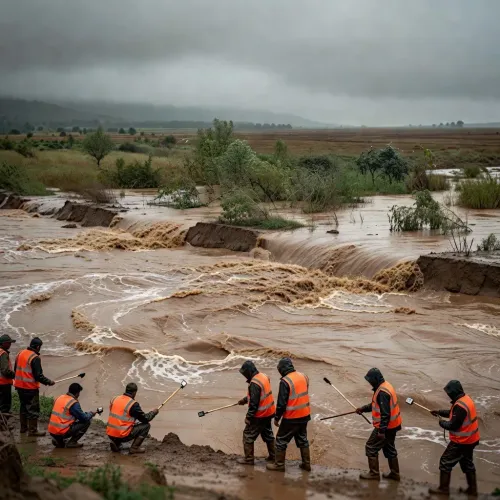
A glacial lake outburst in Bhutan has put two of Assam's western districts on high alert — and Assam Chief Minister Himanta Biswa Sarma says state teams are already on the ground, watching every vulnerable revenue circle in Dhubri and Kokrajhar.
In a post on Friday, 30 October 2026, CM Sarma said the administration is 'closely monitoring the possible impact of the glacial lake outburst in Bhutan across all vulnerable revenue circles of Dhubri and Kokrajhar.' Teams are in 'constant contact with the NDRF and other agencies,' he added, urging residents to stay alert, follow official updates, and cooperate with local officials.
Why Dhubri and Kokrajhar face the sharpest exposure
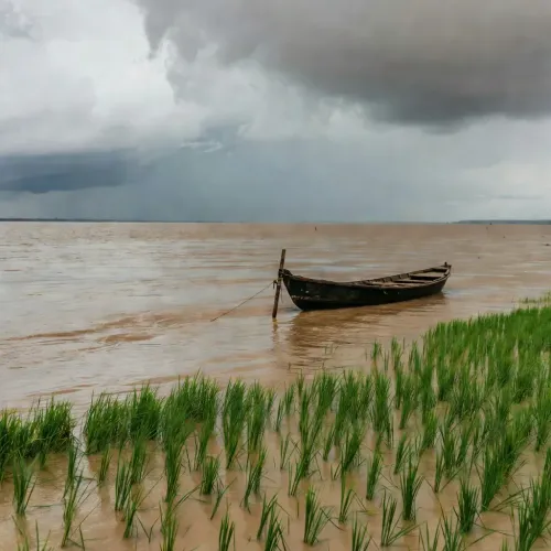
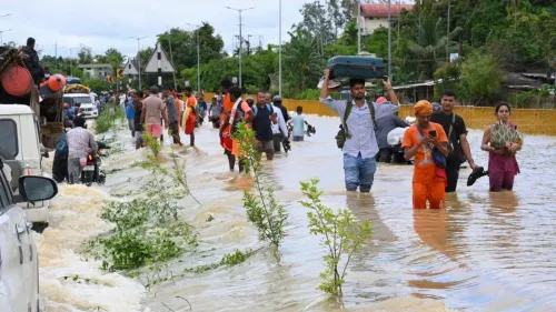
Dhubri, on Assam's western edge, borders both Bhutan and Bangladesh and sits at the confluence of rivers that drain directly from the Himalayan foothills. Kokrajhar, part of the Bodoland Territorial Region, shares a similar geography — rivers originating in Bhutan funnel through its floodplains before pushing south. Both districts have a long record of severe inundation from transboundary river surges, making them the first downstream zones to feel any spike in upstream water release.
Glacial lake outburst floods — sudden, high-volume discharges when a glacial dam fails — add a distinct and less predictable threat on top of the routine monsoon cycle. Unlike seasonal floods that build gradually, a glacial outburst can send a wall of water downstream with very little warning, compressing the window for evacuation and relief positioning.
NDRF coordination and India-Bhutan water data links
The National Disaster Response Force (NDRF), India's central rapid-response agency for disasters, is already plugged into the state's monitoring chain. India and Bhutan maintain bilateral mechanisms — dating formally to the 1960s and updated periodically — for sharing real-time flood and water-level data from rivers originating in Bhutan. Those channels are now the state's primary early-warning infrastructure as authorities watch river gauges in the affected circles.
The Assam State Disaster Management Authority will be the key body to watch for the next phase: updates on river levels, and any decision to activate relief camps or order evacuations in the most exposed revenue circles.
For residents of Dhubri and Kokrajhar, the message from the Chief Minister is unambiguous — stay close to official channels, and be ready to move if local authorities call for it.
Point of View
High-stakes layer of disaster risk for Assam — separate from and faster-moving than the seasonal monsoon cycle that the state's emergency infrastructure was originally built around. CM Sarma's public communication doubles as both a preparedness directive and an implicit call for residents to trust the official warning chain, which is important in districts with historically patchy evacuation compliance. The invocation of the India-Bhutan data-sharing framework signals that transboundary climate risk management — not just domestic disaster response — is now a live operational concern. How quickly river levels move in the next 24-48 hours will determine whether this stays a precautionary posture or escalates into a full relief deployment.
NationPress
30 Oct 2026
Frequently Asked Questions
What is a glacial lake outburst flood and why is it dangerous for Assam?
A glacial lake outburst flood (GLOF) occurs when a natural dam holding a glacial lake suddenly fails, releasing a massive volume of water downstream very rapidly. For Assam, rivers flowing from Bhutan and the eastern Himalayas can carry this surge directly into low-lying districts like Dhubri and Kokrajhar, leaving little time for evacuation.
Which districts in Assam are on alert due to the Bhutan glacial lake outburst?
Assam CM Himanta Biswa Sarma has specifically flagged vulnerable revenue circles in Dhubri and Kokrajhar districts as the primary zones being monitored following the glacial lake outburst reported in Bhutan.
What is the NDRF and what role is it playing in the Assam flood alert?
The National Disaster Response Force (NDRF) is India's central agency for disaster rescue and relief. According to CM Sarma, Assam's teams are in constant contact with the NDRF and other agencies, ensuring a coordinated response is ready to deploy if the situation worsens.
Does India share flood data with Bhutan for early warning?
Yes. India and Bhutan have bilateral arrangements, dating back formally to the 1960s and updated periodically, for sharing real-time flood and water-level data from rivers originating in Bhutan — a critical early-warning tool for downstream Assam districts.
What should residents of Dhubri and Kokrajhar do right now?
CM Sarma has requested residents in both districts to stay alert, follow only official updates, and cooperate with local officials. They should avoid low-lying riverbank areas and be prepared to respond quickly to any evacuation instructions from local administration.