CM Yogi surveys Lucknow, Sitapur flood zones by air
Synopsis
Uttar Pradesh Chief Minister Yogi Adityanath surveyed flood-ravaged Lucknow and Sitapur districts by air on 5 October 2026, then personally distributed relief materials to affected families at Bakshi Ka Talab, pledging the state's full support to every displaced household.
Key Takeaways
CM Yogi Adityanath conducted an aerial survey of flood-affected areas in Lucknow and Sitapur districts on 5 October 2026 .
He visited Bakshi Ka Talab tehsil on the ground, meeting flood-affected residents directly.
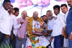
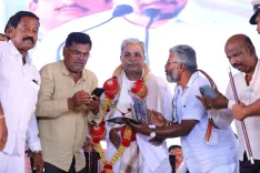
Relief materials were distributed to flood-hit families during the visit.
The UP Government reiterated its commitment: 'Your safety is our commitment,' with full readiness to support every affected family.
The Tarai belt — encompassing Lucknow and Sitapur — is chronically vulnerable to post-monsoon flooding from Himalayan river systems.
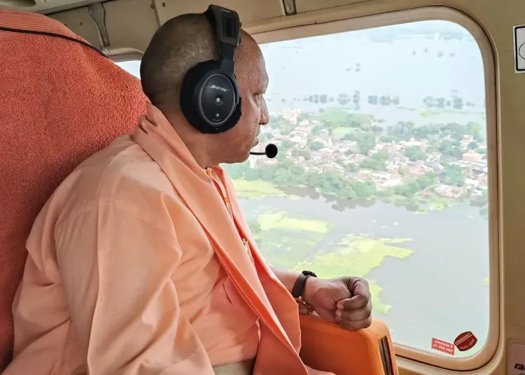
With rivers still running high across western Uttar Pradesh, Uttar Pradesh Chief Minister Yogi Adityanath took to the skies on Monday, 5 October 2026, conducting an aerial survey of flood-hit districts Lucknow and Sitapur — then descended to the ground to meet affected families face-to-face in Bakshi Ka Talab tehsil.
The Chief Minister distributed relief materials directly to flood-affected residents during the visit. In his post, he wrote: 'Aapda ki ghadi mein @UPGovt pratyek prabhavit parivar ko har prakar se sahyog karne ke liye poori tatparta ke saath khadi hai.' ('In this hour of disaster, the UP Government stands fully ready to support every affected family in every possible way. Your safety is our commitment.')
Bakshi Ka Talab: where the CM met the flood-hit
Bakshi Ka Talab, a tehsil on Lucknow's northern fringe, has been among the areas worst affected by the seasonal inundation that has breached low-lying settlements along the Sharda and Ghaghra river systems. CM Yogi's ground visit — involving direct interaction with displaced and affected families — was designed to signal administrative presence beyond the command room.
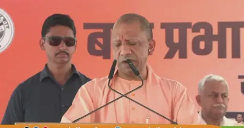
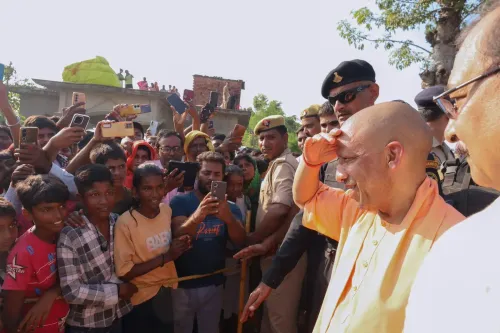
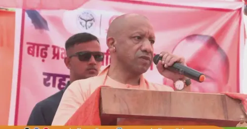
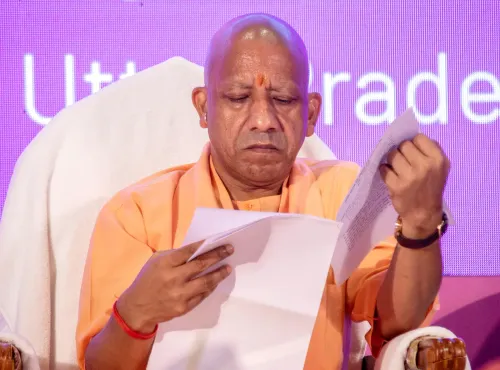
Aerial surveys are a standard first-response tool in large-scale flood management: they allow state leadership to rapidly map the spread of inundation, identify unreached pockets, and direct relief columns in real time. The four photographs attached to the post show the Chief Minister at the survey and during the distribution of relief supplies.
UP Government's flood-relief posture
The Uttar Pradesh government has in recent years built a structured flood-response apparatus, deploying State Disaster Response Force (SDRF) teams alongside local administration during the monsoon season. Relief typically includes dry ration kits, medicines, drinking water, and temporary shelter support for families displaced by rising waters.
Lucknow and Sitapur districts sit in the Tarai belt, a low-lying zone that drains water from the foothills of the Himalayas and is perennially vulnerable during peak monsoon and post-monsoon weeks. October floods in this belt are often triggered by delayed monsoon withdrawal and heavy upstream rainfall in Nepal and the Himalayan catchment areas.
By putting himself visibly at both the aerial survey and the ground-level relief distribution in a single day, CM Yogi sent a clear administrative message: the state machinery is not waiting for the situation to stabilise — it is moving while the water is still high.
Point of View
Whose governance brand rests heavily on visible administrative control, the Bakshi Ka Talab visit reinforces a pattern: deploy senior presence early and publicly in disaster zones. With the UP Government framing flood response as a commitment rather than a procedure, the language also pre-empts any opposition charge of bureaucratic indifference. The real test, as always, will be in the adequacy and speed of relief that reaches the last displaced family — not just those on the Chief Minister's route.
NationPress
5 Oct 2026
Frequently Asked Questions
Which districts did CM Yogi Adityanath survey for flood damage on 5 October 2026?
CM Yogi Adityanath conducted an aerial survey of flood-affected areas in Lucknow and Sitapur districts on 5 October 2026.
Where did CM Yogi meet flood-affected families in Lucknow?
He met flood-affected residents in the Bakshi Ka Talab tehsil area of Lucknow and distributed relief materials to them.
What relief did the UP Government provide to flood victims in Lucknow and Sitapur?
The Chief Minister personally distributed relief materials to affected families during his ground visit to Bakshi Ka Talab tehsil.
Why does the Tarai belt around Lucknow and Sitapur flood frequently?
The Tarai belt is a low-lying zone that drains Himalayan river systems; delayed monsoon withdrawal and heavy upstream rainfall in Nepal routinely cause inundation in October.
What did CM Yogi say about the UP Government's flood response commitment?
He stated that the UP Government 'stands fully ready to support every affected family in every possible way,' adding 'Your safety is our commitment.'