Gadkari Launches Road Survey Vehicle in Nagpur

Synopsis
Union Minister Nitin Gadkari launched the Network Survey Vehicle — a mobile road laboratory with geo-referenced pavement assessment capabilities — in Nagpur, developed by SD Geotesting Solutions. The move advances India's push for data-driven highway monitoring under the Bharatmala framework.
Key Takeaways
Network Survey Vehicle (NSV) launched in Nagpur by Union Minister Nitin Gadkari .
Developed by SD Geotesting Solutions & Consultant Pvt.
Ltd. , a private Indian firm.
The vehicle combines road inventory mapping , pavement condition assessment , and geo-referenced data collection in a single mobile unit.
Designed to enable data-driven decision-making for highway maintenance and safety monitoring across India.
Aligns with Bharatmala Pariyojana goals of technology-enabled national highway asset management, launched in 2015 .
Key next step: state-wise rollout and integration with the Ministry of Road Transport and Highways' central road database.
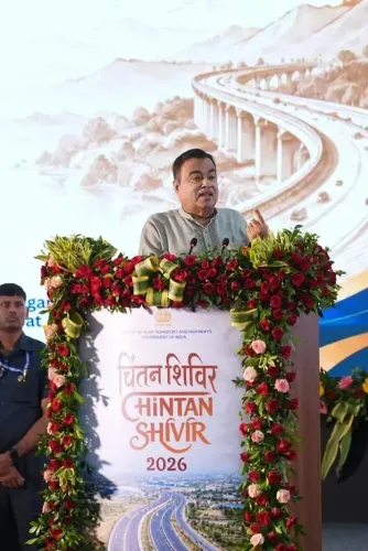
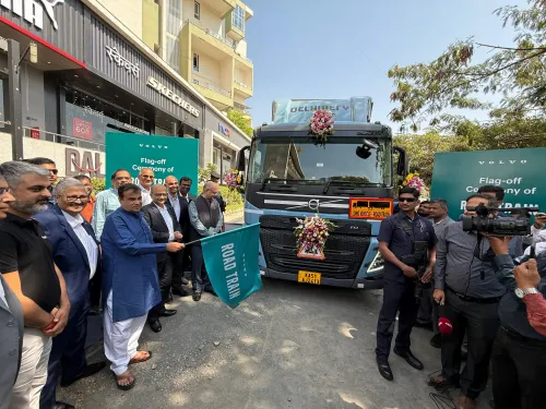
A mobile laboratory that can read a highway's health in real time rolled out of Nagpur on Saturday — and it could reshape how India maintains its vast national road network. Union Road Transport and Highways Minister Nitin Gadkari launched the Network Survey Vehicle (NSV), developed by SD Geotesting Solutions & Consultant Pvt. Ltd., marking a significant step toward sensor-driven road asset management across the country.
What the NSV does on the road
The vehicle is, in effect, a rolling data centre for highways. Equipped with advanced road inventory mapping, pavement condition assessment tools, and geo-referenced data collection capabilities, it can survey road surfaces, catalogue assets, and flag deterioration — all while moving at normal traffic speeds. That kind of continuous, granular data has historically been expensive and slow to gather; the NSV compresses the timeline dramatically.
Gadkari described the vehicle as enabling 'data-driven decision-making' that will 'strengthen road infrastructure monitoring and contribute to safer, more efficient and sustainable highways across India.' The hashtag #PragatiKaHighway — 'Highway of Progress' — framed the launch squarely within his ministry's broader modernisation push.
Nagpur, Bharatmala, and the geospatial turn in highway policy
Nagpur is no incidental venue. The city sits at the geographic heart of India and has been a recurring launchpad for Gadkari's infrastructure announcements — a deliberate signal that road connectivity radiates outward from the country's centre. The NSV launch also fits neatly into the policy lineage of Bharatmala Pariyojana, the national highway programme launched in 2015 that placed explicit emphasis on technology-enabled asset management alongside raw construction targets.
India's shift toward geospatial and sensor-based road tools has been building for years. Central highway authorities have increasingly integrated GIS mapping and remote sensing into their maintenance workflows, aiming to cut lifecycle costs and reduce accident-prone stretches identified through data. The NSV developed by SD Geotesting Solutions & Consultant Pvt. Ltd. represents a domestically built answer to that demand — a private-sector firm producing a specialised tool that feeds directly into the ministry's monitoring infrastructure.
What to watch: state rollout and the central road database
A single vehicle, however capable, is a proof of concept. The real test is scale. The ministry's next move will be whether additional NSVs are deployed state by state and whether the geo-referenced data they collect is integrated into the Ministry of Road Transport and Highways' central road database — creating a live, updatable picture of national highway condition rather than periodic snapshots. That linkage, if it happens, would give highway engineers and planners a tool they have long lacked: continuous, comparable, nationwide pavement intelligence.
Safer roads are ultimately a public-health outcome. India's highway fatality numbers remain among the highest in the world, and poor pavement condition is a documented contributor. A system that can flag dangerous stretches before they claim lives — not after — is the quiet, unglamorous work that makes the biggest difference.
Point of View
Fix-later highway management toward predictive, sensor-driven asset stewardship — a shift the Bharatmala programme institutionalised but has struggled to operationalise at scale. For Gadkari, backing a domestically developed survey vehicle serves a dual purpose: it advances the ministry's modernisation narrative while signalling support for indigenous engineering capability. The real policy test, however, is whether the data the NSV generates is actually absorbed into planning cycles or sits in a database no one queries. If the central road database gets live, comparable pavement feeds from multiple vehicles across states, the ministry would hold a genuinely powerful tool for prioritising maintenance budgets — and for defending those choices with evidence rather than political calculus.
NationPress
24 Oct 2026
Frequently Asked Questions
What is a Network Survey Vehicle and what does it do?
A Network Survey Vehicle (NSV) is a mobile road laboratory that surveys highway surfaces while travelling at normal speeds. It collects geo-referenced data on pavement condition, road inventory, and asset locations, allowing highway authorities to make data-driven maintenance and safety decisions without manual, slow-paced inspections.
Who developed the Network Survey Vehicle launched by Gadkari?
SD Geotesting Solutions & Consultant Pvt. Ltd. , a private Indian firm based in Nagpur, developed the Network Survey Vehicle that Union Minister Nitin Gadkari launched.
Why was the NSV launched in Nagpur?
Nagpur is both the geographic centre of India and a city closely associated with Nitin Gadkari's political and developmental work. The city has regularly served as a launchpad for his ministry's infrastructure initiatives.
How does the NSV connect to Bharatmala Pariyojana?
Bharatmala Pariyojana , launched in 2015 , emphasised technology-enabled asset management alongside highway construction. The NSV directly supports that goal by providing continuous, geo-referenced road condition data that can feed into national highway monitoring systems.
Will more Network Survey Vehicles be deployed across Indian states?
The ministry has not announced a confirmed rollout schedule, but the key next step is deploying additional NSVs state by state and linking their data to the central road database maintained by the Ministry of Road Transport and Highways .