Southwest monsoon likely to hit Delhi-NCR by June 27, IMD forecasts relief
Synopsis
The southwest monsoon is closing in on Delhi with a 27 June target — but a two-week stall earlier this season and a delayed Kerala onset mean a slip to July 5-8 remains firmly on the table. While the IMD has not officially flagged a delay, meteorologists are watching northwest India's atmospheric conditions closely. A dust storm on Tuesday offered a preview of the volatile weather ahead.
Key Takeaways
The IMD expects the southwest monsoon to reach Delhi-NCR around its normal onset date of 27 June .
The monsoon entered Bihar on 11 June and reached Mumbai on 22 June , marking a key northward milestone.
A prior two-week stall in monsoon progress has raised the possibility of a Delhi delay to 5–8 July , according to meteorologists.
The IMD has not officially revised Delhi's monsoon onset date or signalled a delay beyond the second week of July.
Delhi-NCR was hit by a severe dust storm on Tuesday , with wind speeds up to 100 kmph and a Red Alert issued for three hours.
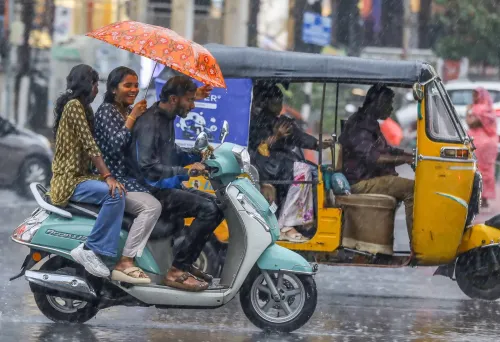
Heavy to very heavy rainfall was forecast for Konkan and Goa , Coastal Karnataka , Assam , Meghalaya , and Sub-Himalayan West Bengal on 24 June .
The southwest monsoon is on track to reach Delhi-NCR around its normal onset date of 27 June, according to the India Meteorological Department (IMD), potentially ending weeks of oppressive heat and humidity that have gripped the National Capital Region. The system has now firmly established itself over Bihar and is advancing steadily through central and eastern India.
Current Monsoon Position
The IMD confirmed that the southwest monsoon entered parts of Bihar on 11 June and advanced further across the state on 12 June. Rainfall activity has remained active over eastern India since then, with the department forecasting heavy rainfall at isolated places in Bihar on 24 June.
On 22 June, the monsoon pushed into additional parts of Maharashtra, Telangana, Karnataka, Chhattisgarh, Odisha, Jharkhand, and Bihar. Notably, it reached Mumbai — a key milestone in its northward march — bringing heavy overnight rainfall to the country's financial capital. The IMD issued an orange alert for Mumbai and Palghar early on Wednesday as heavy showers continued across the region.
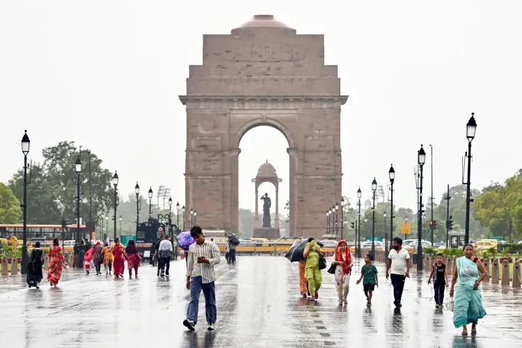
Will Delhi Miss Its Normal Onset Date
The normal onset date for the southwest monsoon over Delhi is 27 June. However, the system's advance stalled for nearly two weeks earlier this month, and its arrival over Kerala was also delayed, leading some meteorologists to suggest the capital could miss its normal date.
If current atmospheric conditions remain favourable, Delhi could still witness monsoon onset around 27 June. But any disruption in the system's progress may push the onset date to between 5 July and 8 July, according to meteorologists. The IMD has not officially revised Delhi's monsoon onset date, nor indicated any delay extending into the second week of July.
Meteorologists note that the exact onset depends on monsoon wind strength, moisture availability, and prevailing atmospheric conditions over northwest India. This is consistent with a pattern seen in several recent years, where monsoon progress through central India has not always translated into a timely Delhi arrival.
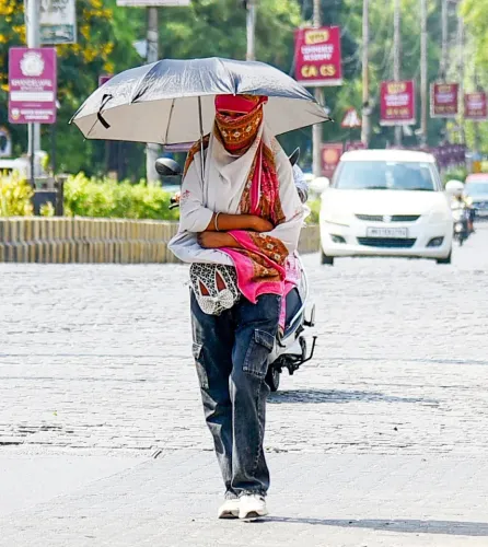
Dust Storm Brings Temporary Relief to Delhi
Meanwhile, Delhi and adjoining parts of the NCR experienced a sudden spell of severe weather on Tuesday, as intense dust storms and powerful winds disrupted normal life. The IMD issued a Red Alert for at least three hours, warning that wind speeds could reach 100 kmph in isolated areas.
The dramatic weather shift began around 2:30 pm, when urgent advisories were issued for Delhi and neighbouring areas of Haryana, Uttar Pradesh, and Rajasthan. Strong gusts swept across the capital, reducing visibility significantly as thick clouds of dust engulfed roads and residential localities. Thunderstorms and lightning activity were also forecast across several parts of the region.
Meteorologists attributed the storm to above-normal temperatures that had created favourable atmospheric conditions, building up energy that triggered the sudden storm activity. The event provided temporary relief from the intense heat gripping the region.
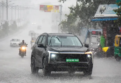
Widespread Rainfall Forecast Across India
For 24 June, the IMD predicted widespread rainfall along the west coast and across parts of eastern and northeastern India. Heavy to very heavy rainfall was forecast in Konkan and Goa, Coastal Karnataka, Assam and Meghalaya, and Sub-Himalayan West Bengal and Sikkim. The weather department also warned of thunderstorms, lightning, intense to very intense rainfall, and winds ranging between 40 and 60 kmph in parts of Maharashtra.
The pace of monsoon advancement over northwest India in the coming days will be the decisive factor for millions of residents in Delhi and neighbouring cities still waiting for relief from the season's heat.
Point of View
But it also risks under-preparing residents if the July scenario materialises. The two-week stall earlier this month is the real story: monsoon progress across central India has been uneven for the third consecutive season, suggesting that the 'normal onset date' framework for Delhi may need a statistical relook. The dust storm on Tuesday, while dramatic, is a pre-monsoon convective event — not a substitute for the sustained rainfall that agriculture and water reservoirs in the NCR region actually need.
NationPress
24 Jun 2026
Frequently Asked Questions
When is the southwest monsoon expected to reach Delhi in 2025?
The southwest monsoon is expected to reach Delhi around its normal onset date of 27 June 2025, according to the IMD. However, if progress over northwest India is disrupted, the onset could be delayed to between 5 July and 8 July.
Why could the Delhi monsoon onset be delayed this year?
The monsoon's advance stalled for nearly two weeks earlier in June, and its arrival over Kerala was also delayed. These factors have led some meteorologists to caution that Delhi may miss its normal 27 June onset date, though the IMD has not officially confirmed a delay.
Has the IMD issued any official delay forecast for Delhi's monsoon?
No. As of 24 June, the IMD had not officially revised Delhi's monsoon onset date or indicated any significant delay extending into the second week of July. The possibility of a slight delay, however, has not been ruled out by meteorologists.
What weather event hit Delhi on Tuesday, 24 June?
Delhi and parts of the NCR were struck by intense dust storms and powerful winds on Tuesday, prompting the IMD to issue a Red Alert for at least three hours. Wind speeds were forecast to reach 100 kmph in isolated areas, with thunderstorms and lightning also reported.
Where has the southwest monsoon reached as of June 24, 2025?
As of 24 June, the southwest monsoon had established itself over Bihar, Mumbai, and large parts of Maharashtra, Telangana, Karnataka, Chhattisgarh, Odisha, and Jharkhand. It was advancing steadily through central and eastern India toward northwest India.