Southwest monsoon advances into Andhra Pradesh, West Bengal; heavy rains forecast for Northeast
Synopsis
India's Southwest monsoon crossed into Andhra Pradesh, West Bengal, and five other states on 15 June, with the IMD flagging heavy to very heavy rain warnings for the Northeast over the next week — even as heat waves persist in Telangana and Vidarbha, underlining the stark weather contrast gripping the country simultaneously.
Key Takeaways
The Southwest monsoon advanced into Andhra Pradesh , West Bengal , Telangana , Odisha , Jharkhand , and Bihar on 15 June .
The IMD forecasts further advance into Maharashtra , Karnataka , Bihar , Jharkhand , and Chhattisgarh over the next 4-5 days .
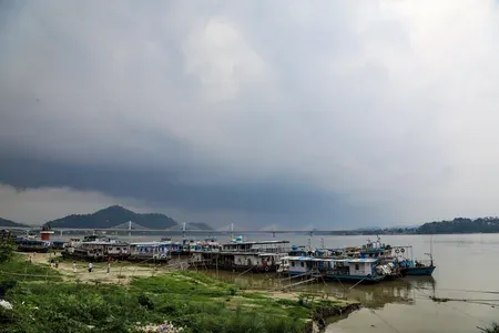
Heavy to very heavy rainfall of 12-20 cm was recorded in isolated areas of Assam in the past 24 hours .
Warnings for heavy to very heavy rain issued for the Northeast , sub-Himalayan West Bengal , Sikkim , and Kerala over the next 6-7 days .
Heat wave conditions likely in Telangana (15-16 June) and Vidarbha (15-17 June); highest temperature of 42.8°C recorded in Phalodi, Rajasthan .
Fishermen advised not to enter the Bay of Bengal and Arabian Sea until 20 June .
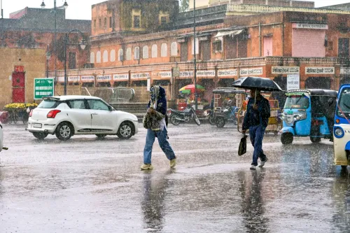
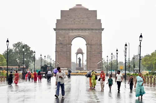
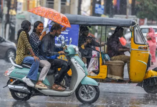
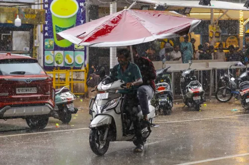
The Southwest monsoon pushed further into India on Monday, 15 June, covering the remaining parts of Andhra Pradesh, West Bengal, and the west-central Bay of Bengal, along with additional areas of Telangana, Odisha, Jharkhand, and Bihar, according to the India Meteorological Department (IMD). The advance marks a significant step in the monsoon's northward progression, with conditions remaining favourable for further spread over the coming days.
Current Monsoon Limit
The northern limit of the monsoon currently runs through Harnai, Solapur, Hyderabad, Bhadrachalam, Koraput, Phulbani, Ranchi, Jamui, and Muzaffarpur. Over the next 4-5 days, the IMD expects the system to extend into parts of the central Arabian Sea, Maharashtra, the remaining regions of Karnataka, Telangana, Odisha, Jharkhand, Bihar, and some areas of Chhattisgarh.
Rainfall in the Past 24 Hours
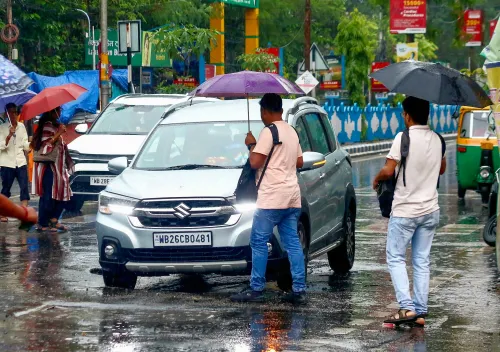
The monsoon delivered substantial rainfall across multiple states in the preceding 24 hours. Heavy to very heavy rainfall — between 12 cm and 20 cm — was recorded at isolated locations in Assam. Heavy rainfall of 7-11 cm was reported in coastal Karnataka, coastal Andhra Pradesh, Odisha, Jharkhand, Bihar, and parts of Tamil Nadu.
Thunderstorms with squally winds reaching 60-100 kmph struck several regions, including east Rajasthan, Telangana, Odisha, and west Madhya Pradesh. The highest maximum temperature recorded in the country was 42.8 degrees Celsius at Phalodi in Rajasthan.
Northeast Alert and Upcoming Forecast
The IMD has issued warnings for isolated heavy to very heavy rainfall over sub-Himalayan West Bengal, Sikkim, Arunachal Pradesh, Assam, and Meghalaya during the next 6-7 days. Fairly widespread to widespread rainfall is expected across the Northeast, Andaman and Nicobar Islands, sub-Himalayan West Bengal and Sikkim, and Kerala. Isolated heavy rainfall is also likely in parts of Bihar, Odisha, Arunachal Pradesh, and Tamil Nadu, with very heavy spells possible in the Northeast later in the week.
Weather Systems and Heat Wave Pockets
Several systems are shaping the current weather pattern. A seasonal trough extends from Punjab to Bihar, while upper-air cyclonic circulations persist over south-central Maharashtra and south Punjab. A western disturbance over north Pakistan is expected to affect northwest India from 18 June, bringing rain and possible hail over Jammu-Kashmir-Ladakh and adjoining areas.
Notably, heat wave conditions remain a concern in isolated pockets. Telangana is likely to experience heat waves on 15-16 June, while Vidarbha faces similar conditions from 15-17 June. Hot and humid weather is expected over Konkan and Goa, Madhya Maharashtra, Marathwada, and Odisha.
Advisories for Fishermen, Farmers, and Citizens
The IMD has advised fishermen not to venture into vulnerable sea areas in the Bay of Bengal and the Arabian Sea until 20 June. Farmers in rain-affected regions have been urged to ensure proper drainage and secure standing crops. Citizens in heat-prone areas are advised to stay hydrated and avoid prolonged exposure to the sun, while the general public has been cautioned against thunderstorm hazards, including lightning and strong winds.
For Delhi-NCR, very light to light rain with thunderstorms and strong winds gusting up to 70 kmph was forecast for Monday, with maximum temperatures expected to remain between 35-37 degrees Celsius. Partly to generally cloudy skies with gusty winds are likely over the next few days.
Point of View
But the simultaneous heat wave alerts in Telangana and Vidarbha are a reminder that advance does not equal relief — large swathes of the country can be drenched and scorched at the same time. The IMD's fishermen advisory through 20 June, covering both the Bay of Bengal and the Arabian Sea, signals that the system's energy is still building, not dissipating. What the forecast does not yet resolve is whether the monsoon's northward push into Bihar and Jharkhand will arrive before or after the peak heat stress window — a gap that carries real consequences for kharif sowing timelines and rural livelihoods.
NationPress
14 Sept 2026
Frequently Asked Questions
Which states did the Southwest monsoon advance into on 15 June 2025?
The Southwest monsoon advanced into the remaining parts of Andhra Pradesh, West Bengal, and the west-central Bay of Bengal, along with additional areas of Telangana, Odisha, Jharkhand, and Bihar on 15 June, according to the IMD.
What rainfall is forecast for Northeast India in the coming days?
The IMD has issued warnings for isolated heavy to very heavy rainfall over sub-Himalayan West Bengal, Sikkim, Arunachal Pradesh, Assam, and Meghalaya over the next 6-7 days. Very heavy spells are possible in the Northeast later in the week.
Are heat waves expected despite the monsoon advancing?
Yes. Heat wave conditions are very likely in isolated pockets of Telangana on 15-16 June and Vidarbha from 15-17 June. The highest temperature recorded was 42.8 degrees Celsius at Phalodi in Rajasthan.
What advisory has the IMD issued for fishermen?
The IMD has advised fishermen not to venture into vulnerable sea areas in the Bay of Bengal and the Arabian Sea until 20 June, given rough sea conditions associated with the active monsoon system.
When will the monsoon reach Maharashtra and Chhattisgarh?
The IMD expects conditions to become favourable for the monsoon to advance into parts of central Arabian Sea, Maharashtra, the remaining regions of Karnataka, Telangana, Odisha, Jharkhand, Bihar, and some areas of Chhattisgarh within the next 4-5 days.