Southwest Monsoon 2026: Mumbai to get rain in 48 hours, heavy showers lash Northeast
Synopsis
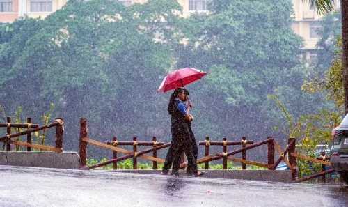
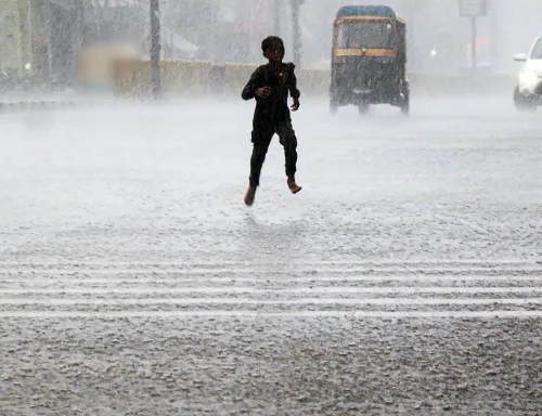
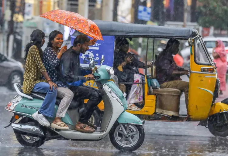
The Southwest Monsoon 2026 is knocking on Mumbai's door — the IMD says the city should receive showers within 48 hours. But while central India waits for relief, the Northeast is already under siege, with sub-Himalayan West Bengal logging over 21 cm of rain in a single day and Meghalaya bracing for more. A tale of two weather extremes playing out simultaneously across India.
Key Takeaways
The IMD confirmed on 22 June 2026 that the Southwest Monsoon 2026 is expected to reach Mumbai within 48 hours .
The monsoon has already advanced into parts of Maharashtra , Telangana , Karnataka , Odisha , Jharkhand , and Bihar .
Extremely heavy rainfall exceeding 21 cm was recorded in sub-Himalayan West Bengal in the 24 hours ending Monday morning.
Widespread heavy rains are forecast across Northeast India through 28 June , with isolated extremely heavy falls over Meghalaya .
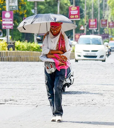
Heat wave conditions persist in Vidarbha , east Madhya Pradesh , east Uttar Pradesh , and Chhattisgarh ; Banda, UP recorded 42.6°C on Sunday.
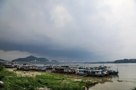
Fishermen have been advised to stay away from the Bay of Bengal and Arabian Sea due to rough seas.
The India Meteorological Department (IMD) on Monday, 22 June 2026 confirmed a significant northward surge in the Southwest Monsoon 2026, with conditions now highly favourable for the weather system to reach Mumbai and the remaining parts of Maharashtra within the next 48 hours. The advance brings relief prospects for heat-battered central India even as the Northeast braces for heavy to extremely heavy rainfall through the week.
Current Monsoon Position
As of Monday, the Southwest Monsoon has advanced into additional parts of the central Arabian Sea, Maharashtra, Telangana, the remaining parts of Karnataka, some parts of Chhattisgarh, and more areas of Odisha, Jharkhand, and Bihar. The northern limit of the monsoon currently runs through Alibag, Pune, Nizamabad, Dantewada, Balangir, Sundargarh, Chatra, Gaya, and Muzaffarpur.
The IMD said conditions remain favourable for the monsoon to cover the remaining parts of the central Arabian Sea, more areas of Maharashtra including Mumbai, the remaining parts of Telangana and Odisha, and additional parts of Chhattisgarh, Jharkhand, and Bihar within two days.
Northeast India Rainfall Alert
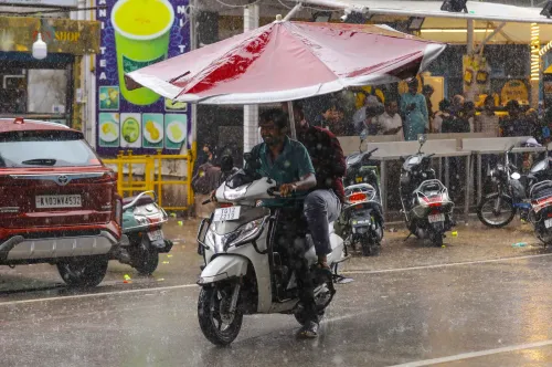
The Northeast is already bearing the brunt of the season's early intensity. In the 24 hours ending 8:30 am on Monday, extremely heavy rainfall exceeding 21 centimetres was recorded at isolated places over sub-Himalayan West Bengal. Very heavy rainfall between 12 and 20 centimetres lashed isolated areas of Meghalaya, while heavy rainfall between 7 and 11 centimetres was recorded in parts of Odisha, Bihar, Tripura, central Maharashtra, coastal Karnataka, Tamil Nadu, and Kerala.
The IMD forecast indicates heavy to very heavy rainfall — between 7 and 20 centimetres — likely over Northeast India and Sub-Himalayan West Bengal and Sikkim through the week, with isolated extremely heavy falls exceeding 20 centimetres expected over Meghalaya on Monday. Fairly widespread to widespread rainfall is predicted across Arunachal Pradesh, Assam, Nagaland, Manipur, Mizoram, Tripura, the Andaman and Nicobar Islands, and sub-Himalayan West Bengal and Sikkim through 28 June.
Heat Wave Persists in Central India
Despite the monsoon's advance, heat wave conditions are expected to continue over Vidarbha, with severe heat wave in isolated pockets, as well as over east Madhya Pradesh, east Uttar Pradesh, and Chhattisgarh for the next few days. Maximum temperatures reached 40 to 42 degrees Celsius in parts of Uttar Pradesh, east Madhya Pradesh, and Vidarbha. Banda in Uttar Pradesh recorded the highest temperature on Sunday at 42.6 degrees Celsius. Warm night conditions also prevailed in Vidarbha.
The IMD has warned of high health risks for vulnerable groups, advising ample hydration and avoidance of direct sun exposure. The monsoon's further advance is expected to gradually ease temperatures in central India by late June.
Warnings and Advisories
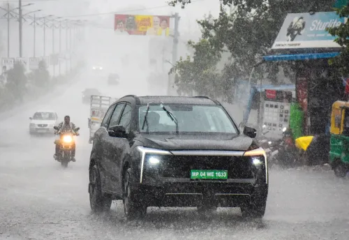
Thunderstorms with squally or gusty winds reaching 40 to 81 kilometres per hour were reported across Madhya Pradesh, Uttar Pradesh, Bihar, and Vidarbha. Hailstorms hit isolated pockets in Himachal Pradesh and Punjab. The IMD has flagged risks of localised flooding, waterlogging, landslides in hilly areas, and damage to crops and infrastructure from heavy rains and gusty winds of up to 60–70 kilometres per hour.
Fishermen have been advised not to venture into vulnerable areas of the Bay of Bengal and the Arabian Sea due to rough seas and strong winds. Authorities have urged citizens in rain-affected zones to avoid staying in vulnerable structures, ensure proper drainage, and secure loose objects. In heat wave zones, light irrigation for crops and the use of shade nets are recommended.
Point of View
But the more consequential story is the Northeast's rainfall intensity — over 21 cm in a single day in sub-Himalayan West Bengal is not routine monsoon behaviour. What is also notable is the simultaneous persistence of heat waves in Vidarbha and east UP even as the monsoon advances, a pattern that underscores how uneven India's monsoon relief can be. The dual advisory — flood warnings for the East, heat warnings for the Centre — is a reminder that climate variability is making the monsoon both more intense and more spatially erratic. Disaster preparedness infrastructure in both zones will be tested in the coming week.
NationPress
22 Jun 2026
Frequently Asked Questions
When will the monsoon reach Mumbai in 2026?
According to the IMD, the Southwest Monsoon 2026 is expected to reach Mumbai and the remaining parts of Maharashtra within 48 hours of 22 June 2026. Conditions are described as highly favourable for this advance.
Which parts of Northeast India are facing heavy rainfall alerts?
Arunachal Pradesh, Assam, Meghalaya, Nagaland, Manipur, Mizoram, and Tripura are all under heavy to very heavy rainfall forecasts through 28 June 2026. Meghalaya faces isolated extremely heavy falls exceeding 20 cm, and sub-Himalayan West Bengal already recorded over 21 cm in a single day.
Why is there still a heat wave despite the monsoon advancing?
The monsoon's northern limit has not yet reached central and east India, leaving Vidarbha, east Madhya Pradesh, east Uttar Pradesh, and Chhattisgarh under continued heat wave conditions. Banda in Uttar Pradesh recorded 42.6 degrees Celsius on Sunday, and the IMD expects these conditions to persist for a few more days before the monsoon brings gradual relief.
What precautions has the IMD advised for citizens?
The IMD has advised residents in rain-affected areas to avoid vulnerable structures, ensure proper drainage, and secure loose objects. In heat wave zones, citizens are urged to stay hydrated and avoid direct sun exposure. Fishermen have been told not to venture into the Bay of Bengal and Arabian Sea due to rough seas and strong winds.
What is the current northern limit of the Southwest Monsoon 2026?
As of 22 June 2026, the northern limit of the monsoon passes through Alibag, Pune, Nizamabad, Dantewada, Balangir, Sundargarh, Chatra, Gaya, and Muzaffarpur, according to the IMD.