Swamy threatens Delhi HC petition over India-China border map denial
Synopsis
Veteran politician Dr. Subramanian Swamy has threatened to approach the Delhi High Court after alleging that PM Modi and EAM Jaishankar denied Chinese territorial encroachment and refused to release maps of Ladakh and Arunachal Pradesh border sectors, reigniting the post-Galwan transparency debate.
Key Takeaways
Subramanian Swamy says he has been writing to PM Modi since 2020 about alleged Chinese encroachment on Indian territory in Ladakh and Arunachal Pradesh .
He alleges both PM Modi and External Affairs Minister S.
Jaishankar have denied Chinese territorial grabbing when confronted.
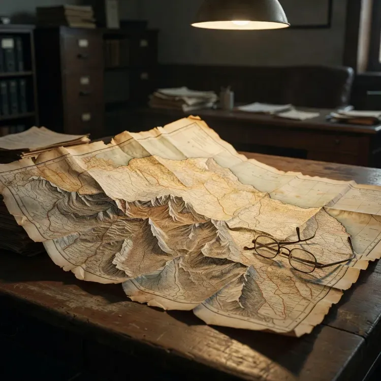
Swamy claims the government refused to disclose even a map of the relevant Ladakh and Arunachal border sectors.
He has announced a possible petition to the Delhi High Court , which would compel a government affidavit on the current LAC alignment .
The controversy is rooted in the fallout from the June 2020 Galwan Valley clash , after which India-China border transparency has remained a live parliamentary and public debate.
A veteran parliamentarian is drawing a legal battle line over one of India's most sensitive frontiers. Dr. Subramanian Swamy, former Union Minister and Rajya Sabha MP, declared on Saturday, 24 October 2026 that he may soon approach the Delhi High Court, alleging that both Prime Minister Narendra Modi and External Affairs Minister S. Jaishankar have denied Chinese territorial encroachment in Ladakh and Arunachal Pradesh — and have refused to disclose even a map of the disputed areas.
Letters to Modi since 2020, and a wall of silence
Swamy states he has been writing to the Prime Minister since 2020 — and had raised the issue earlier in Parliament — warning that China is 'grabbing hitherto undisputed Indian territory.' His post describes what he calls a pattern of denial: both the Prime Minister and the External Affairs Minister have, in his account, rejected the characterisation of Chinese encroachment. When he sought a full map of the Ladakh and Arunachal Pradesh border sectors, the 'Duo,' as he puts it, declined to share even that.
The backdrop matters. The June 2020 Galwan Valley clash — which killed 20 Indian soldiers and an undisclosed number of Chinese troops — triggered the most serious military standoff along the Line of Actual Control (LAC) in decades. Multiple rounds of corps commander talks followed. The government has consistently maintained in Parliament that no Indian territory was ceded, while engaging China through bilateral diplomatic mechanisms including the Special Representatives dialogue.
The map question: what Swamy is actually asking for
At the heart of Swamy's challenge is a demand for cartographic transparency — a full, disclosed map of India's current territorial hold in Ladakh and Arunachal. This is not a new ask in Indian democratic discourse. Successive Parliaments have seen periodic demands for clearer cartographic disclosure of the disputed sectors, particularly around Aksai Chin in Ladakh — the chunk of territory India claims but China has administered since the 1950s — and Arunachal Pradesh, which Beijing designates 'South Tibet.'
India's position on both has been unwavering at the official level: Arunachal Pradesh is an integral part of India; Aksai Chin is illegally occupied. But the gap between that official assertion and what can be independently verified on the ground is precisely the transparency deficit Swamy is targeting. If he files in the Delhi High Court, any petition would likely seek directions to the Ministry of External Affairs to place on record the current LAC alignment — a disclosure the government has historically resisted on national security grounds.
What a court petition could force into the open
A formal High Court petition would compel a government affidavit. That alone makes it significant. The Ministry of External Affairs would be required to state, on oath, its official position on the current LAC boundary — and explain any refusal to disclose mapping data. Legal experts have noted in similar past cases that courts tread carefully on matters touching national security, often deferring to executive discretion. But the act of filing itself generates a public record and forces an official response.
Swamy has a history of converting political positions into legal challenges — his PIL on the 2G spectrum case and the Ayodhya proceedings are the most cited examples. Whether this becomes a landmark transparency case on India's most contested frontier, or stalls at the admissibility stage, will depend on how the petition is framed and what relief is specifically sought.
The LAC is not a line on a single agreed map. It is contested, sector by sector, and both countries hold different interpretations. That ambiguity has never before faced a direct judicial disclosure demand of this kind — making Swamy's threatened move, if it materialises, genuinely without precedent.
Point of View
The case would force the executive to reconcile its public 'no territory lost' position with the legal evidentiary standard. More broadly, it signals that the opposition space on the China question is increasingly being occupied not by street politics but by legal activism — a trend worth watching as the 2027 general election cycle approaches.
NationPress
24 Oct 2026
Frequently Asked Questions
Why is Subramanian Swamy threatening to go to the Delhi High Court over the India-China border?
Swamy says he has been writing to PM Modi since 2020 about alleged Chinese encroachment in Ladakh and Arunachal Pradesh. He claims both the Prime Minister and the External Affairs Minister have denied the encroachment and refused to provide a map of the border areas, leaving him with no option but a court petition to force official disclosure.
What specifically is Swamy asking the government to disclose?
Swamy is demanding a full map showing India's current territorial hold in the Ladakh and Arunachal Pradesh sectors along the Line of Actual Control — a disclosure the government has historically withheld on national security grounds.
What was the Galwan Valley clash and why is it relevant?
The Galwan Valley clash in June 2020 was the deadliest India-China border confrontation in decades, killing 20 Indian soldiers. It triggered a prolonged standoff along the LAC and has since fuelled ongoing public and parliamentary demands for transparency about actual ground positions.
Has India officially admitted to any loss of territory to China?
No. The Indian government has consistently maintained in Parliament and diplomatic forums that no Indian territory has been ceded to China, including in Aksai Chin and Arunachal Pradesh. Swamy disputes this characterisation based on what he describes as his own information.
What could a Delhi High Court petition on this issue actually achieve?
A formal petition would require the Ministry of External Affairs to file an affidavit stating the government's official position on the LAC and explaining any refusal to disclose border maps. Courts have historically deferred to the executive on national security, but the filing itself creates a public legal record and forces an official on-record response.