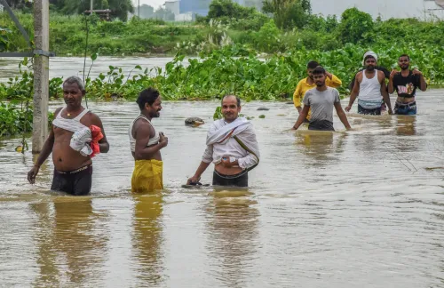
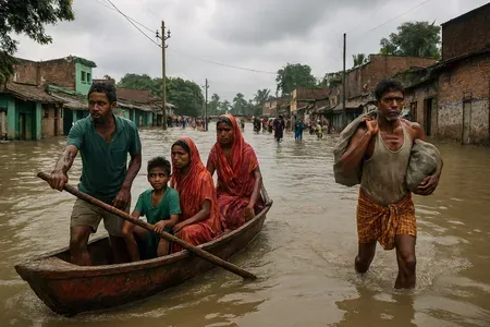
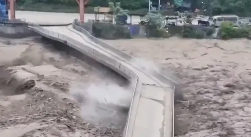
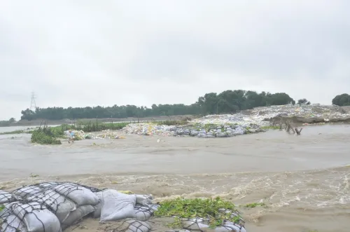
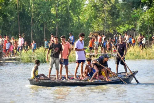
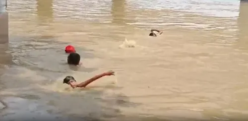
Bagmati River above danger mark in Muzaffarpur; Bihar on flood alert
Synopsis
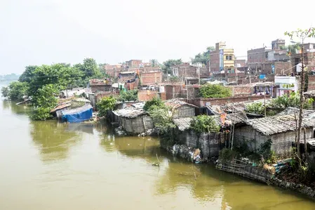
The Bagmati River has breached its danger mark in Muzaffarpur, with the Gandak and Burhi Gandak also rising steadily — all driven by continuous rainfall in Nepal. Bihar's flood control machinery is on round-the-clock watch, but if upstream precipitation persists, the risk window for North Bihar widens fast.
Key Takeaways
The Bagmati River at Kataujha was recorded at 55.15 metres as of 7 August , above its danger mark of 55.00 metres .
The Burhi Gandak at Sikandarpur stood at 49.16 metres (danger mark: 52.53 metres ), but is rising continuously.
The Gandak at Rewaghat was at 53.63 metres (danger mark: 54.41 metres ), also on an upward trend.
Persistent rainfall in Nepal 's catchment areas is the primary driver of rising river levels in North Bihar .
The Water Resources Department has activated a control room in Patna covering North Bihar and the Seemanchal region.
Residents in riverbank and low-lying areas have been advised to stay alert and follow official advisories.
The Bagmati River was flowing above its danger mark at Kataujha in Muzaffarpur, Bihar, as of 6:00 am on Friday, 7 August, according to the daily river water level report issued by the Muzaffarpur District Emergency Operation Centre. Continuous rainfall across several parts of Nepal has driven a sustained rise in water levels of major rivers across North Bihar, prompting the district administration to intensify flood monitoring operations.
Current River Levels
The Bagmati River at Kataujha was recorded at 55.15 metres, exceeding its danger mark of 55.00 metres. Officials noted a slight decline in the water level since the latest reading, but confirmed the river remained above the danger threshold and the situation was under close watch.
The Burhi Gandak River at Sikandarpur stood at 49.16 metres, still below its danger mark of 52.53 metres. However, the river has shown a continuous upward trend, and officials warned that persistent rainfall in its catchment areas could push levels higher in the coming days.
The Gandak River at Rewaghat was measured at 53.63 metres, below its danger mark of 54.41 metres, though its steadily rising trajectory has prompted heightened vigilance in vulnerable areas along its banks.
Administration Response
Officials from the Water Resources Department, including junior engineers of the Water Discharge Division and personnel from the District Flood Control Room, are maintaining round-the-clock surveillance of river levels and embankments. The Water Resources Department has also activated a dedicated control room in Patna to monitor the flood situation across North Bihar and the Seemanchal region.
The district administration has advised residents living along riverbanks and in low-lying areas to remain alert and follow official advisories strictly. Authorities said special attention is being given to flood-prone locations so that relief and rescue operations can be mobilised immediately if conditions deteriorate.
Why Nepal Rainfall Matters for Bihar
North Bihar's river systems are fed largely by rainfall in Nepal's hills and plains. When Nepal receives heavy or prolonged precipitation, the resulting runoff flows downstream into rivers such as the Bagmati, Gandak, and Burhi Gandak, often causing rapid and significant water level rises within hours. This pattern of cross-border river flooding has historically triggered some of Bihar's most severe inundation events, particularly in districts like Muzaffarpur, Darbhanga, and Sitamarhi. This year's alert comes amid a broader monsoon season that has already seen above-normal rainfall across the eastern sub-continent.
What Residents Should Know
Authorities have urged people in riverbank communities and low-lying zones to stay tuned to official advisories and avoid unnecessary proximity to swollen rivers. Relief and rescue teams are reportedly on standby, with the administration signalling that pre-emptive action will be taken if water levels approach or breach danger marks on the Burhi Gandak and Gandak rivers as well.
Point of View
Yet the state's response continues to be reactive rather than structural. The Bagmati breaching its danger mark within days of sustained Nepal rainfall is not a surprise — it is a pattern repeated almost every year in Muzaffarpur and surrounding districts. What is missing from official statements is any reference to long-term embankment integrity, upstream coordination with Nepal, or community-level early-warning penetration. Round-the-clock surveillance and control rooms are necessary, but they are not a substitute for the cross-border river management framework that has been discussed for decades and remains incomplete.
NationPress
21 Sept 2026
Frequently Asked Questions
Which rivers are above or near danger levels in Muzaffarpur?
The Bagmati River at Kataujha has crossed its danger mark, recorded at 55.15 metres against a danger level of 55.00 metres as of 7 August. The Burhi Gandak and Gandak rivers remain below their respective danger marks but are rising steadily.
Why are Bihar's rivers rising due to rainfall in Nepal?
Rivers like the Bagmati, Gandak, and Burhi Gandak originate in or pass through Nepal before entering North Bihar. Heavy or prolonged rainfall in Nepal's hills causes rapid downstream surges, often flooding Bihar within hours or days of the upstream precipitation.
What steps has the Muzaffarpur administration taken?
The district administration has deployed Water Resources Department officials and junior engineers for round-the-clock embankment and river-level surveillance. A flood control room is operational in Patna monitoring North Bihar and the Seemanchal region, and residents have been advised to follow official advisories.
Who is most at risk from the current flood alert in Muzaffarpur?
Residents living along the banks of the Bagmati, Burhi Gandak, and Gandak rivers, as well as those in low-lying areas of Muzaffarpur district, face the greatest risk. Authorities are giving special attention to historically flood-prone locations.
What happens if the water levels continue to rise?
Officials have said relief and rescue operations can be launched immediately if the situation deteriorates. The administration is on standby, with pre-emptive measures planned for areas where rivers may breach or approach their danger marks.