Bagmati River crosses danger mark in Bihar, erosion hits bridges
Synopsis
The Bagmati River has breached its danger mark in North Bihar for what is reportedly the highest water level of the current season, with floodwater entering an NDRF camp and erosion threatening bridge pillars at Piprahi and Dubba. With Nepal's catchment areas still receiving heavy rain and the Belwa Dam channel adding pressure, the situation is far from stabilising.
Key Takeaways
Bagmati River is flowing at 61.33 metres at Dubbaghat , exceeding the danger mark of 61.28 metres by 5 centimetres .
This is reportedly the highest water level recorded at the site during the current season.
Floodwater has entered the NDRF camp at Dubbaghat ; severe erosion reported at Dubbaghat , Piprahi Ghat , Adauri Ghat , and Motnaje .
Erosion is active near Pillar No.
1 of the Bagmati Bridge at Piprahi , threatening bridge infrastructure.
District Magistrate Pratibha Rani has placed district teams and the Bagmati Division on high alert, with sandbags and stones deployed at vulnerable points.
The Belwa-Minapur link channel , aided by the Belwa Dam , is adding further pressure to surrounding areas.
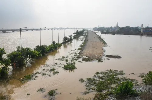
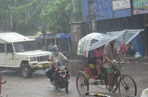
The Bagmati River in North Bihar has crossed the danger level at the Dubbaghat gauge station, flowing at 61.33 metres against the danger mark of 61.28 metres — a breach of 5 centimetres — as of 10 August. Continuous rainfall across North Bihar and the river's catchment areas in Nepal has driven what is reportedly the highest water level recorded this season, with the current continuing to intensify.
Flooding and Erosion Spread
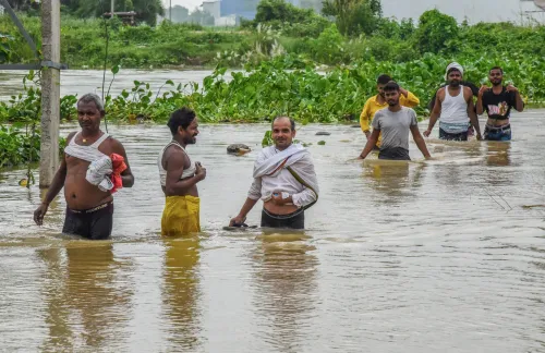
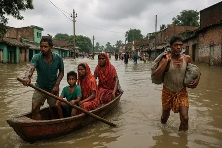
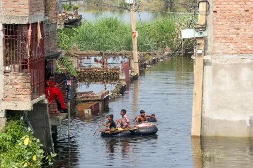
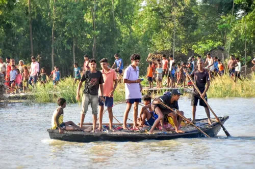
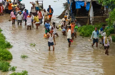
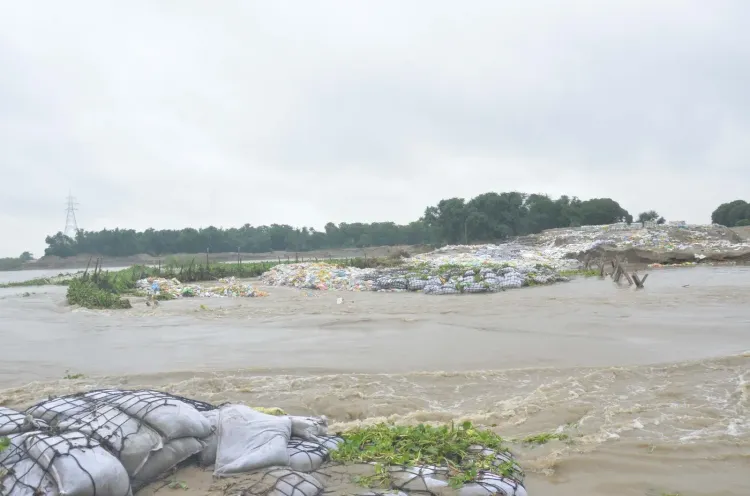
As the river swells, water is spreading rapidly within embankments and advancing toward several low-lying areas. Floodwater has entered the NDRF camp at Dubbaghat, signalling the scale of the inundation. Severe erosion has been reported at multiple sites, including Dubbaghat, Piprahi Ghat, Adauri Ghat, and Motnaje. Sections of agricultural land are being washed away, with standing crops and farmlands bearing the brunt of the damage.
Bridge Infrastructure Under Threat
Continuous erosion is occurring near Pillar No. 1 of the Bagmati Bridge at Piprahi, with the affected area expanding steadily. Erosion has been reported along both banks of the river, raising concerns over the structural safety of nearby bridges and settlements. District Magistrate Pratibha Rani confirmed that erosion is active near both the Piprahi and Dubba bridge locations, and that repair and erosion-control work is being carried out on a war footing at both sites.
Administration Response
Acting on directions from District Magistrate Pratibha Rani, teams from the district administration and the Bagmati Division have been placed on high alert. Flood-control and embankment-strengthening operations are running continuously, with large stones and sandbags being deployed at vulnerable points to check erosion. Teams from the Bagmati Division are maintaining round-the-clock monitoring of the river's water level.
Additional Pressure from Belwa Dam Channel
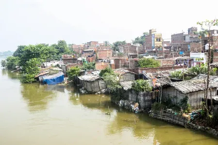
The situation is compounded by the Bagmati River water flowing rapidly through the Belwa-Minapur link channel with the assistance of the Belwa Dam, adding to concerns in surrounding areas. Residents in villages close to the embankments have reported growing anxiety over the possibility of flooding as the situation continues to deteriorate. Officials stated that all necessary arrangements have been made and that response teams remain ready to act at short notice.
Point of View
And the structural vulnerability of embankments and bridges is a known, documented problem. What is notable this season is the erosion threatening bridge pillars at Piprahi and Dubba simultaneously, which points to the cumulative weakening of riverbank infrastructure over successive flood cycles. The dependence on sandbags as the primary erosion-control tool, while response teams are praised for round-the-clock vigilance, raises the harder question of why permanent reinforcement of critical bridge footings has not kept pace with the river's documented flood behaviour. Bihar's flood losses are perennial; the administration's response remains reactive rather than structural.
NationPress
25 Sept 2026
Frequently Asked Questions
How much has the Bagmati River exceeded the danger level at Dubbaghat?
The Bagmati River is flowing at 61.33 metres at the Dubbaghat gauge station, exceeding the danger mark of 61.28 metres by 5 centimetres. This is reportedly the highest water level recorded at the site during the current flood season.
Which areas are facing the worst erosion due to the Bagmati flood?
Severe erosion has been reported at Dubbaghat, Piprahi Ghat, Adauri Ghat, and Motnaje. Erosion is also occurring near Pillar No. 1 of the Bagmati Bridge at Piprahi, raising concerns over bridge safety.
What action has the district administration taken?
District Magistrate Pratibha Rani has placed district teams and the Bagmati Division on high alert. Flood-control and embankment-strengthening operations are underway continuously, with large stones and sandbags deployed at vulnerable points.
Why is the Bagmati River flooding in Bihar linked to Nepal?
The Bagmati River's catchment areas lie partly in Nepal, and continuous rainfall there directly raises the river's water levels downstream in North Bihar. This cross-border hydrology makes the river particularly difficult to manage during monsoon season.
What is the Belwa-Minapur link channel and why does it matter?
The Belwa-Minapur link channel carries Bagmati River water, aided by the Belwa Dam, and is currently flowing rapidly, adding further pressure to surrounding areas already stressed by the main river's rising levels.