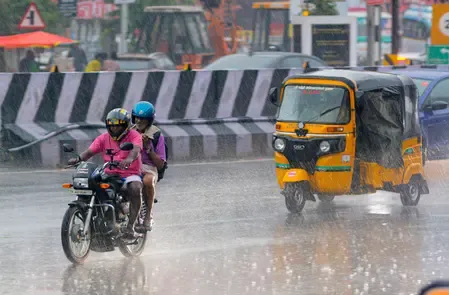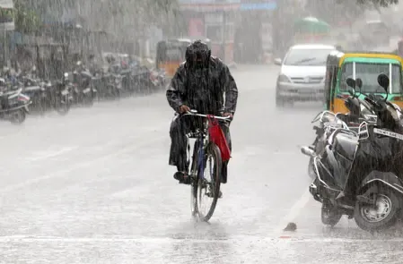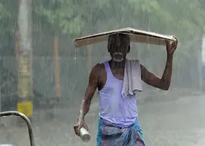


Cyclone Murasu aftermath: Heavy rain forecast for Theni, Coimbatore on Wednesday
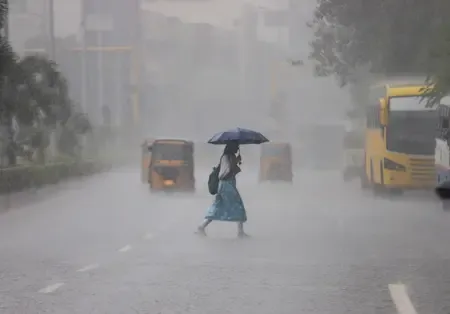
Synopsis
Cyclone Murasu has weakened into a deep depression after making landfall near Ongole, but its atmospheric tail is not done with Tamil Nadu — the IMD has flagged heavy rain for Theni and Coimbatore on Wednesday, with Madurai and Dindigul in the frame for Thursday, as western and southern districts brace for two more days of significant rainfall.
Key Takeaways
The IMD has forecast heavy rainfall at isolated places in Theni and Coimbatore on 4 November .
Severe cyclonic storm 'Murasu' made landfall near Ongole , Andhra Pradesh, between 3.30 am and 5.30 am on 3 November .
The system has weakened into a deep depression after moving north-northwestwards inland.
Heavy rain is forecast for Madurai , Theni , and Dindigul on Thursday, 5 November .
Rainfall will remain concentrated in western and southern Tamil Nadu, especially districts adjoining the Western Ghats .
Residents in low-lying areas have been advised to stay alert and monitor IMD bulletins.
The India Meteorological Department (IMD) has forecast heavy rainfall at isolated places in Theni and Coimbatore districts of Tamil Nadu on Wednesday, 4 November, as the remnants of severe cyclonic storm 'Murasu' continue to influence weather patterns across the state even after the system's significant weakening post-landfall.
How Cyclone Murasu Tracked and Weakened
The severe cyclonic storm was positioned over the west-central Bay of Bengal on 2 November, before moving north-northwestwards and making landfall between Nellore and Narsapur, close to Ongole along the southern Andhra Pradesh coast, between 3.30 am and 5.30 am on 3 November. After crossing the coast, the system continued its northwestward movement inland, gradually losing intensity — first weakening into a cyclonic storm and subsequently into a deep depression.
Tamil Nadu Rainfall Forecast: Wednesday and Thursday
Despite Murasu's considerable weakening, associated atmospheric conditions are expected to drive rainfall activity across several parts of Tamil Nadu over the next two days. On Wednesday, heavy rain is forecast at isolated places in Theni and Coimbatore districts, while other parts of the state are likely to receive light to moderate showers. In Chennai, skies are expected to remain partly cloudy with moderate rainfall likely in certain areas of the city.
Looking ahead to Thursday, 5 November, the IMD has forecast heavy rainfall in Madurai, Theni, and Dindigul districts. Rainfall activity is expected to remain concentrated in western and southern Tamil Nadu, particularly in districts adjoining the Western Ghats, where local topographic conditions could amplify shower intensity.
Why Rainfall Persists After Cyclone Weakening
Meteorological officials have cautioned that the dissipation of a cyclonic storm does not immediately halt associated rainfall. The moisture-laden atmospheric circulation that travels with such systems can continue to trigger precipitation well inland, sometimes for days after the original storm structure breaks down. This is a well-established pattern across Bay of Bengal cyclone events, where residual troughs and low-pressure systems sustain rainfall over peninsular India. Notably, districts along the Western Ghats are especially susceptible due to orographic lift, which can intensify even weak weather systems.
Advisories and What Residents Should Do
The IMD has advised residents in areas forecast to receive heavy rainfall to remain alert and monitor subsequent weather bulletins, particularly those living in vulnerable low-lying locations. The department is expected to continue issuing district-specific forecasts as atmospheric conditions evolve. Rainfall activity, officials noted, may vary significantly across localities depending on prevailing local weather dynamics.
Point of View
Yet public alertness typically drops the moment 'landfall' is declared. The IMD's district-specific advisories for Theni, Coimbatore, and the Western Ghats belt are the right call, but the burden of communication falls heavily on state disaster machinery that has historically struggled with last-mile dissemination in rural districts. With Madurai and Dindigul also flagged for Thursday, Tamil Nadu's administration faces a two-day window where complacency is the real risk.
NationPress
4 Nov 2026
Frequently Asked Questions
What is Cyclone Murasu and where did it make landfall?
Cyclone Murasu was a severe cyclonic storm that formed over the west-central Bay of Bengal and made landfall between Nellore and Narsapur, near Ongole on the southern Andhra Pradesh coast, between 3.30 am and 5.30 am on 3 November. After landfall, it weakened progressively into a deep depression as it moved further inland.
Which districts in Tamil Nadu are forecast to receive heavy rain?
On 4 November (Wednesday), the IMD has forecast heavy rainfall at isolated places in Theni and Coimbatore districts. On 5 November (Thursday), heavy rain is expected in Madurai, Theni, and Dindigul districts, with other parts of Tamil Nadu likely to receive moderate showers.
Why does Tamil Nadu still face heavy rain after the cyclone weakened?
Even after a cyclonic storm weakens, its associated atmospheric circulation continues to carry moisture and can trigger significant rainfall, particularly over regions like the Western Ghats where orographic conditions amplify precipitation. Meteorological officials have specifically cautioned that the dissipation of a cyclone does not mean an immediate end to related rainfall activity.
What should residents in affected areas do?
The IMD has advised residents — especially those in low-lying and vulnerable areas — to remain alert and monitor district-specific weather bulletins regularly. The department is expected to continue issuing updated forecasts as the weather system evolves over the next two days.
Will Chennai be affected by Cyclone Murasu's remnants?
Chennai is expected to see partly cloudy skies with moderate rainfall likely in certain parts of the city on Wednesday. The city is not among the districts flagged for heavy rainfall, but conditions may vary across localities depending on local atmospheric conditions.