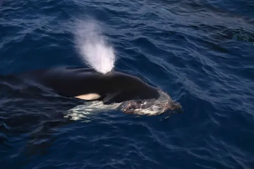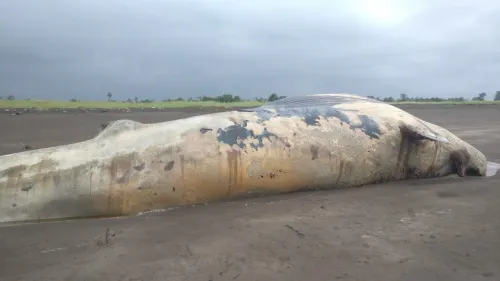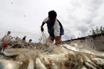


Goa tops India's marine mammal strandings with 113 cases in 2024-25, CMFRI maps 161 incidents
Synopsis
Goa had more marine mammal strandings than any other Indian state in 2024-25 — 113 cases, dwarfing Kerala's 13 and Maharashtra's 11. CMFRI's new GIS map, covering 1,300 location records across 32 species, is now the most comprehensive stranding database India has built, and it points to humpback dolphins as the most at-risk species on its coasts.
Key Takeaways
Goa recorded 113 marine mammal strandings in 2024-25 — the highest of any Indian state.
Kerala reported 13 cases and Maharashtra reported 11 cases in the same period.
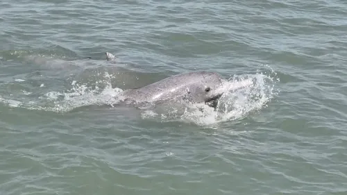
Humpback dolphins were the most commonly stranded species with 82 cases ; Indo-Pacific finless porpoises followed with 44 cases .
CMFRI's new GIS-based digital map covers 1,300 location records across 32 species .
The study was led by CMFRI Senior Scientist Ratheesh Kumar Raveendran and presented at an international symposium in Kochi .
The map is intended to help researchers and government agencies identify stranding hotspots and strengthen conservation responses.
The coastal state of Goa recorded the highest number of marine mammal strandings along the Indian coastline, with 113 cases documented during 2024-25, according to a study by the ICAR-Central Marine Fisheries Research Institute (CMFRI). The institute has now developed a GIS-based digital map tracking 161 stranding incidents across 32 marine mammal species to aid conservation efforts.
State-wise Breakdown of Strandings
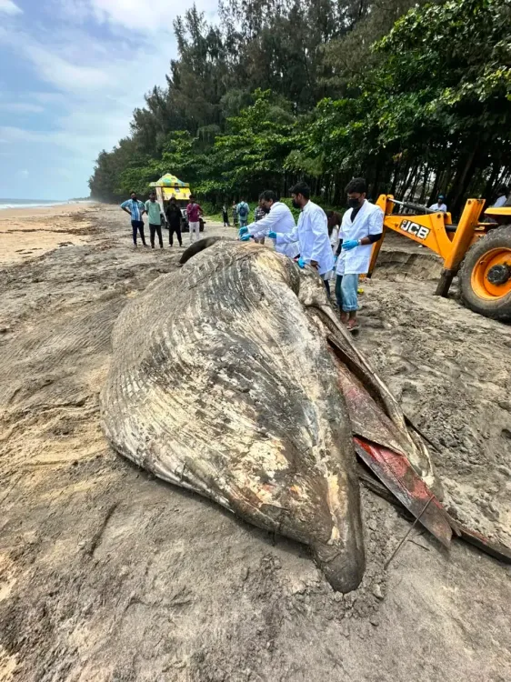
Kerala reported the second-highest number of strandings with 13 cases, followed by Maharashtra with 11 cases. Among the species affected, humpback dolphins accounted for the most strandings at 82 cases, while Indo-Pacific finless porpoises came next with 44 cases. The data were gathered through CMFRI's dedicated marine mammal stranding network, which operates via staff at the institute's regional centres spread across the Indian coast.
The GIS Digital Map: What It Does
The newly developed digital platform draws on approximately 1,300 location records compiled across 32 species. It provides details on where animals were found, their species identity, the nature of each incident, and possible causes of death. The tool also enables researchers to study temporal and spatial patterns in stranding events — identifying hotspot zones where incidents cluster most frequently. The platform is expected to help both research agencies and government bodies plan targeted conservation responses.
How the Data Was Collected
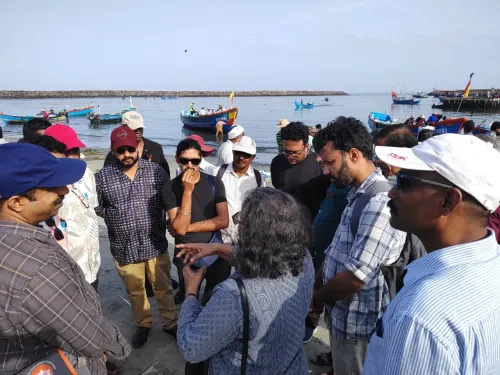
The stranding network compiled records through CMFRI's regional staff, supplemented by verified data from trained volunteers and open-access databases, including the Marine Mammal Research and Conservation Network of India. The study was led by CMFRI Senior Scientist Ratheesh Kumar Raveendran, who stressed the need for field verification, DNA-based species identification, and precise location mapping to better understand the underlying causes of strandings. Raveendran also called for stronger inter-agency coordination and more robust reporting networks along the coast.
Where the Study Was Presented
The findings were presented at a three-day international symposium on fisheries and remote sensing hosted at the institute in Kochi. The event is jointly organised by the Trevor Platt Science Foundation, the Department of Chemical Oceanography of Cochin University of Science and Technology, CMFRI, and the Marine Biological Association of India. The valedictory session on Friday will be inaugurated by Union Earth Sciences Ministry Secretary Srinivasa Kumar Tummala.
Why This Matters for Marine Conservation
Marine mammal strandings are considered a key indicator of ecosystem stress — signalling threats from fishing bycatch, vessel strikes, pollution, and habitat degradation. The concentration of cases in Goa, a state with heavy coastal tourism and maritime traffic, underscores the need for localised management. This is reportedly among the most comprehensive national-level stranding databases compiled for India to date. The digital map is expected to become a live tool that researchers and policymakers can query as new incidents are reported.
Point of View
Recreational boating, and fishing activity — is a signal that cannot be read as statistical noise. CMFRI's digital map is a welcome step, but a database is only as useful as the policy response it triggers; India still lacks a mandatory national stranding response protocol comparable to those in the EU or the US. The call for DNA-based species identification and field verification also highlights a critical gap: without accurate cause-of-death data, it is impossible to know whether this is primarily a bycatch problem, a vessel-strike problem, or a pollution-driven one — and each demands a different regulatory fix.
NationPress
5 Nov 2026
Frequently Asked Questions
Which state recorded the most marine mammal strandings in India in 2024-25?
Goa recorded the highest number of marine mammal strandings in India during 2024-25, with 113 cases. Kerala came second with 13 cases, followed by Maharashtra with 11.
What is the CMFRI marine mammal stranding digital map?
It is a GIS-based digital platform developed by ICAR-Central Marine Fisheries Research Institute that consolidates around 1,300 location records covering 32 marine mammal species across India's coast. The map shows where animals were found, their species, incident details, and possible causes of death, and is intended to help researchers and government agencies plan conservation measures.
Which marine mammal species are most commonly stranded along the Indian coast?
Humpback dolphins topped the list with 82 stranding cases, followed by Indo-Pacific finless porpoises with 44 cases, according to data compiled by CMFRI's marine mammal stranding network.
How was the stranding data collected?
The data were gathered through CMFRI's marine mammal stranding network, which works through staff at regional centres along the Indian coast. It was supplemented by verified inputs from trained volunteers and open-access databases, including the Marine Mammal Research and Conservation Network of India.
Why do marine mammal strandings matter for conservation?
Strandings are considered indicators of broader ecosystem stress, potentially linked to fishing bycatch, vessel strikes, pollution, or habitat loss. Tracking them helps identify threat hotspots and informs conservation planning, which is why CMFRI's researchers have called for stronger field verification, DNA-based species identification, and better inter-agency coordination.