Why Did MapmyIndia Thank Ashwini Vaishnaw for Endorsing the Swadeshi Navigation App ‘Mappls’?
Synopsis
In a notable show of support for indigenous technology, Union Minister Ashwini Vaishnaw praised MapmyIndia’s navigation app, Mappls, during a recent drive. Discover how this homegrown app is aiming to revolutionize navigation in India and the exciting collaboration plans with the Ministry of Railways.
Key Takeaways
Mappls is a homegrown navigation app with unique features.
It has received commendation from Union Minister Ashwini Vaishnaw .
The app aims to enhance driving safety and efficiency.
MapmyIndia is committed to supporting India's ‘Make in India’ vision.
Over 35 million downloads showcase its popularity among users.
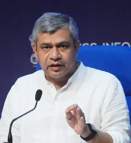
New Delhi, Oct 12 (NationPress) The digital mapping company MapmyIndia expressed its sincere appreciation to Union Minister Ashwini Vaishnaw on Sunday after he utilized the indigenous navigation application ‘Mappls’ and commended its cutting-edge features during a recent journey.
In a post shared on the social media platform X, the company stated, “We are genuinely honored that you used the @mappls App, which is pre-installed in vehicles equipped with MapmyIndia Maps, and recognized features such as the Junction View — designed to enhance driving safety, comfort, and intelligence in India.”
Furthermore, MapmyIndia expressed eagerness to partner with the Ministry of Railways to incorporate its mapping and navigation technology into railway services, aligning with India’s ambition for a seamless and intelligent digital infrastructure.
The company highlighted that the Mappls app, which boasts over 35 million downloads, symbolizes the trust and pride that the Indian populace has in homegrown innovation.
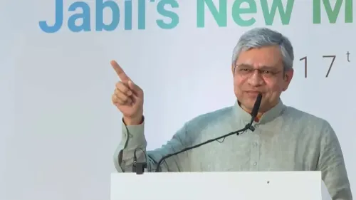
Previously, Vaishnaw had tested the ‘Mappls’ app in his vehicle and urged the public to opt for this indigenous alternative to foreign navigation systems.
In his experience shared on X, the minister underscored the app’s remarkable feature -- a three-dimensional Junction View which illustrates overbridges, underpasses, and flyovers in 3D, ensuring a clearer and safer driving experience.
He also pointed out another valuable capability that assists users in locating specific shops or destinations within multi-storey buildings.
“Upon arriving at any location, even if there are several floors, the app directs us to the precise shop or site,” the minister remarked, lauding the app as a testament to India’s burgeoning prowess in creating world-class digital and navigation technologies.
Developed entirely within India, Mappls offers an array of features tailored specifically for Indian roadways.
These features include real-time notifications for speed limits, accident-prone areas, sharp turns, and traffic signals, in addition to detailed 3D Junction Views.
By creating sophisticated digital mapping and navigation solutions domestically, MapmyIndia is actively contributing to the government’s ‘Make in India’ and ‘Atmanirbhar Bharat’ initiatives, fostering technological self-sufficiency and bolstering domestic innovation.
For over three decades, MapmyIndia has been diligently mapping every corner of India — from highways to rural pathways — and continues to develop India’s own world-class digital maps that are trusted by millions.
“When leaders, innovators, and citizens choose Swadeshi, India draws closer to achieving technological independence,” the company added.
Point of View
The recognition of indigenous technology by leaders like Ashwini Vaishnaw is crucial. It fosters a culture of innovation and supports the government's vision for a self-sufficient India. The Mappls app exemplifies how local solutions can effectively address unique challenges faced by Indian drivers, enhancing road safety and promoting domestic capabilities. This initiative is a step forward in India’s journey towards technological independence and global competitiveness.
NationPress
14 Sept 2026
Frequently Asked Questions
What is the Mappls app?
Mappls is a navigation app developed by MapmyIndia, tailored specifically for Indian roads, featuring unique functionalities like 3D Junction Views and real-time traffic alerts.
Who is Ashwini Vaishnaw?
Ashwini Vaishnaw is the Union Minister for Railways and Communications in India, known for promoting indigenous technology and innovation.
How many downloads does the Mappls app have?
The Mappls app has over 35 million downloads, reflecting its popularity and the trust placed in it by Indian users.
What are the key features of Mappls?
Key features include real-time alerts for speed limits, accident-prone areas, 3D Junction Views, and detailed navigation inside multi-storey buildings.
How does MapmyIndia contribute to India's technological independence?
By developing and enhancing indigenous mapping solutions, MapmyIndia supports the government's initiatives like 'Make in India' and 'Atmanirbhar Bharat', promoting self-reliance in technology.