Why is Madhya Pradesh Experiencing Unseasonal Rain and Temperature Variations?
Synopsis
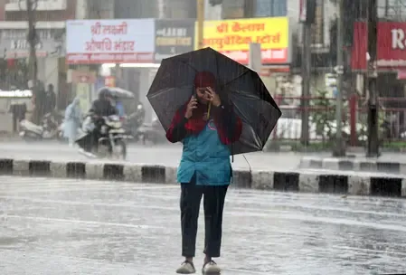
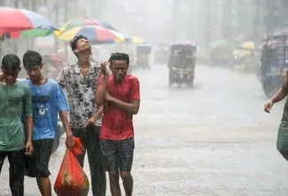
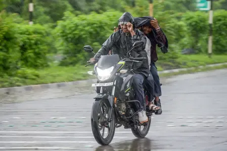
Madhya Pradesh is currently facing unseasonal rainfall and notable temperature fluctuations. The IMD has issued alerts for thunderstorms and advised residents and farmers on protective measures. Stay up-to-date with official alerts as these unusual weather patterns continue to evolve.
Key Takeaways
Madhya Pradesh is experiencing unseasonal rainfall and temperature shifts.
The IMD has issued thunderstorm alerts for various districts.
Residents are advised to stay informed and take precautions.
Farmers should protect their crops and prepare for summer sowing.
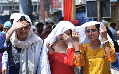
Temperature variations are being closely monitored across the state.
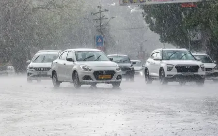
Bhopal, Feb 20 (NationPress) Over the last 24 hours, Madhya Pradesh has been affected by intermittent rainfall and significant temperature variations, according to the Bhopal office of the India Meteorological Department.
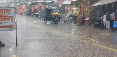
Looking into the future, the IMD predicts that there could be rain or drizzle in isolated regions across various districts including Bhopal, Vidisha, Raisen, Sehore, Narmadapuram, Harda, Khargone, Barwani, Alirajpur, Dhar, Indore, Ujjain, Dewas, Shajapur, Ashoknagar, Rewa, Mauganj, Satna, Katni, Jabalpur, Narsinghpur, Panna, Damoh, Sagar, Chhatarpur, Tikamgarh, and Maihar until 08:30 a.m. on Saturday.
Other districts are expected to remain dry, as per the report.
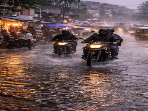
Thunderstorm and lightning warnings have been issued for isolated areas in Bhopal, Vidisha, Raisen, Sehore, Khargone, Barwani, Alirajpur, Dhar, Indore, Ujjain, Dewas, Shajapur, Ashoknagar, Rewa, Satna, Panna, Damoh, Sagar, Chhatarpur, and Tikamgarh.
The IMD has recommended that individuals stay indoors during thunderstorms, avoid open fields, and unplug electronics.
Farmers have been advised to safeguard their crops, halt field activities, and prepare for the summer sowing of sugarcane, groundnut, soybean, and maize.
Residents are urged to stay updated on official alerts amid these unseasonal conditions, which are influenced by subtropical jet streams and cyclonic systems.
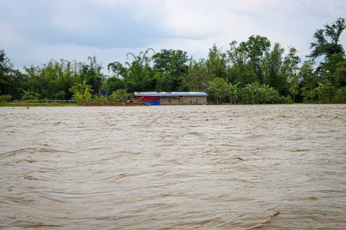
Isolated rainfall has been observed in Rewa and Sagar divisions, as well as in a few locations in Bhopal, Indore, and Ujjain divisions, while the majority of the state remained largely dry.
Ujjain recorded 24 mm of rain, followed by Petlawad with 20 mm and Pachore with 11 mm, with wind gusts reaching up to 41 km/h in Sehore.
The weather office anticipates generally cloudy skies in Bhopal and nearby areas, with light to moderate rainfall, average wind speeds of 14-16 km/h, and temperatures ranging from a maximum of 22 degrees Celsius to a minimum of 14 degrees Celsius.
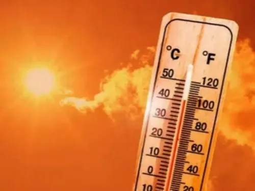
A gradual increase of 2-3 degrees Celsius in maximum temperatures is expected after 24 hours, with no significant changes projected over the next five days.
A weak Western Disturbance may affect the western Himalayas starting February 22.
Maximum temperatures have dropped significantly by 2.2 to 2.9 degrees Celsius in Bhopal, Narmadapuram, Ujjain, and Sagar divisions, while rising sharply by 6.0 degrees Celsius in Chambal division. They remain below normal by 1.7 to 2.2 degrees Celsius in Ujjain and Gwalior divisions but are normal elsewhere.
The highest maximum was 33.4 degrees Celsius in Khargone, while the lowest was 24.2 degrees Celsius in Shivpuri.
Minimum temperatures have notably increased by 2.1 to 2.8 degrees Celsius in Chambal and Rewa divisions, remaining above normal by 1.6 to 2.2 degrees Celsius in several divisions and appreciably above normal by 3.1 to 3.6 degrees Celsius in others.
The lowest minimum was 10.4 degrees Celsius in Kalyanpur (Shahdol), while the highest was 20.2 degrees Celsius in Kannod (Dewas).
Analysis of the IMD's temperature maps shows regional disparities. The maximum temperature map reveals warmer conditions in southwestern districts like Khargone and Khandwa (around 33 degrees Celsius), in contrast to cooler northern areas such as Shivpuri and Datia, which hover around 24 degrees Celsius. The minimum temperature map indicates colder areas in the east-central region, including Shahdol and Umaria (between 10-12 degrees Celsius), while western districts like Dewas and Barwani are milder (between 18-20 degrees Celsius). These patterns reflect the influence of a western disturbance trough and cyclonic circulation over the Haryana-Punjab region.
Point of View
It's imperative to acknowledge the challenges posed by these unseasonal weather conditions in Madhya Pradesh. The IMD's timely alerts are crucial for public safety and agricultural planning. Our focus remains on providing accurate information and supporting the community during these unpredictable times.
NationPress
3 Jul 2026
Frequently Asked Questions
What is the cause of the unseasonal rain in Madhya Pradesh?
The unseasonal rain is influenced by subtropical jet streams and cyclonic systems affecting the region.
Which districts are expected to receive rain?
Districts including Bhopal, Vidisha, Raisen, Sehore, and several others are forecasted to receive rain.
What precautions should residents take during thunderstorms?
Residents are advised to stay indoors, avoid open fields, and unplug electronics during thunderstorms.
How will the weather impact farmers?
Farmers are recommended to protect their crops and prepare for summer sowing of various crops like sugarcane and soybean.
What temperature changes have been observed?
Maximum temperatures have significantly dropped in some divisions, while others have seen an increase.