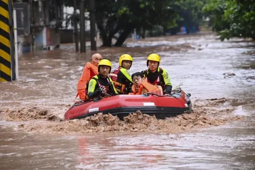
Guangxi floods kill 39, nine missing after reservoir breach in Nanning
Synopsis
A reservoir breach in Nanning and relentless monsoon rains have pushed Guangxi's flood death toll to 39, with nine still missing. Simultaneously, Typhoon Bavi has driven northeast China's Jilin Province to a Level III flood emergency — and the Yellow River basin is now on watch. China is managing one of its most geographically widespread flood crises of 2026.
Key Takeaways
Floods in Guangxi Zhuang Autonomous Region have killed 39 people and left nine missing as of 16 July 2026 .
A severe reservoir breach in the regional capital Nanning contributed directly to the death toll.
Jilin Province flood emergency was upgraded from Level IV to Level III on Tuesday amid Typhoon Bavi -driven rains.
The Meihe River recorded its largest flood since hydrological records began; the entire Huifa River is expected to exceed warning levels.
China's Ministry of Water Resources has warned of rising water levels in Yellow River tributaries including the Weihe , Fenhe , and Qinhe rivers.
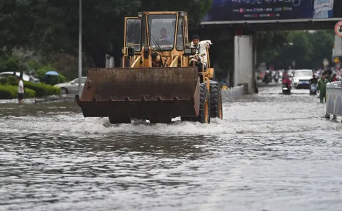
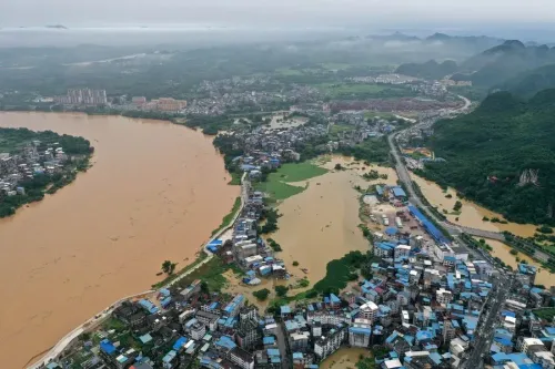
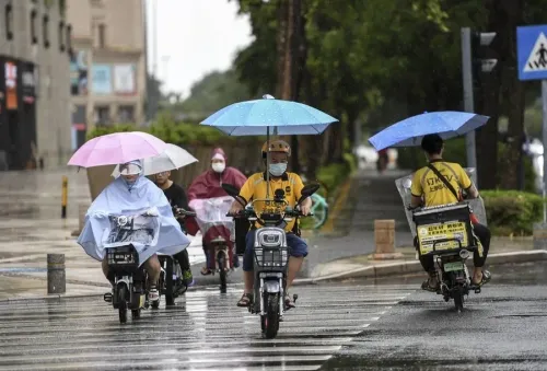
Devastating floods triggered by relentless torrential rains have killed 39 people and left nine others missing in China's Guangxi Zhuang Autonomous Region, Chinese authorities confirmed on Thursday, 16 July 2026. The death toll includes casualties from a severe reservoir breach in the regional capital, Nanning, disclosed at a flood control and disaster relief press conference held at noon on Thursday.
Reservoir Breach in Nanning
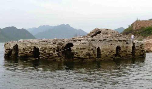
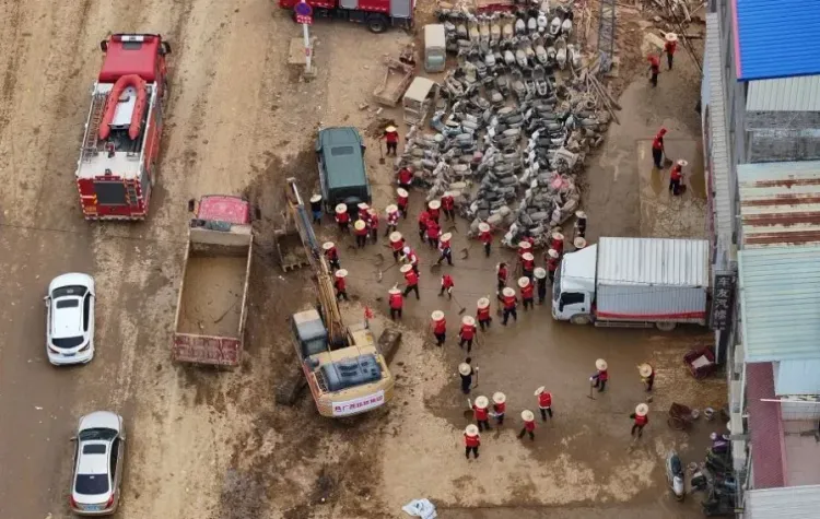
The reservoir failure in Nanning has emerged as one of the most lethal single events within the broader flooding crisis. Authorities did not specify the name of the reservoir, but confirmed it contributed directly to the overall casualty count. Rescue and relief operations are ongoing, with the full scale of damage still being assessed.
Jilin Province on High Alert
Compounding the national crisis, authorities on Tuesday upgraded the emergency flood response for Jilin Province in northeast China from Level IV to Level III, as heavy rainfall drove severe inundation across the region. Typhoon Bavi has been identified as a key driver, bringing persistent downpours that caused the Jilin section of the Songhua River to record its No. 1 flood of 2026.
The Meihe River, a tributary of the Huifa River, has experienced its largest flood since hydrological records began. The entire Huifa River is expected to rise above warning levels, while risks remain elevated for river flooding, mountain torrents, geological disasters, emergencies at small and medium-sized reservoirs, and urban waterlogging. Officials described the flood control situation as 'grave and complex.'
Yellow River Tributaries Under Threat
China's Ministry of Water Resources on Tuesday forecast moderate to heavy rain from Tuesday to Friday across eastern parts of northwest China, with rainstorms expected in parts of central Shaanxi Province and central and southern Shanxi Province. Water levels are projected to rise in sections of the middle reaches of the Yellow River and several tributaries, including the Weihe, Fenhe, and Qinhe rivers.
Some small and medium-sized rivers in rain-affected areas may record floods exceeding warning levels, the ministry cautioned. Water resources authorities in Shanxi and Shaanxi, along with relevant river basin management agencies, have been directed to strengthen monitoring, forecasting, and early warning systems, and to ensure the safety of reservoirs and silt dams.
Scale and Context
China's summer flood season, driven by the annual monsoon, has historically caused widespread casualties and economic damage. The simultaneous crises in Guangxi and Jilin — geographically distant regions — underscore the scale of this year's flood threat. The involvement of Typhoon Bavi adds a cyclonic dimension that has intensified rainfall far inland. With the Yellow River basin now also at risk, authorities face a multi-front flood management challenge in the days ahead.
Point of View
Jilin in the northeast, and the Yellow River basin in the northwest are all under simultaneous stress. The reservoir breach in Nanning is a structural warning: ageing water infrastructure remains a latent risk that amplifies every monsoon. The upgrade of Jilin's emergency level to III, driven partly by a typhoon making its effects felt deep inland, suggests meteorological patterns are extending the reach of cyclonic rainfall. With the Yellow River tributaries now flagged, the Ministry of Water Resources faces a cascading multi-basin scenario that will test both early-warning systems and local government response capacity.
NationPress
15 Oct 2026
Frequently Asked Questions
How many people have died in the Guangxi floods?
As of 16 July 2026, floods in China's Guangxi Zhuang Autonomous Region have killed 39 people, with nine others still missing. The toll includes casualties from a reservoir breach in the regional capital Nanning.
What caused the reservoir breach in Nanning?
The breach was triggered by rounds of torrential rainfall that have battered Guangxi. Authorities confirmed the Nanning reservoir failure at a flood control press conference on Thursday, though the specific reservoir was not named.
What is the flood situation in Jilin Province?
Jilin Province's flood emergency was upgraded from Level IV to Level III on Tuesday after Typhoon Bavi drove severe rainfall across the region. The Songhua River recorded its No. 1 flood of 2026, and the Meihe River saw its largest flood since records began.
Which other Chinese regions are at flood risk?
China's Ministry of Water Resources has warned that parts of Shaanxi and Shanxi provinces face heavy rain through Friday, with rising water levels expected in Yellow River tributaries including the Weihe, Fenhe, and Qinhe rivers.
What steps has the Chinese government taken to manage the floods?
Authorities have upgraded emergency response levels, directed water resources agencies in Shanxi and Shaanxi to strengthen monitoring and early warnings, and ordered enhanced safety checks on reservoirs and silt dams across rain-affected areas.