How Did the India-US NISAR Radar Image Reveal the Mississippi Delta?
Synopsis
Explore how the cutting-edge NISAR Earth-observing satellite is revolutionizing our understanding of the Mississippi Delta, revealing intricate details of its landscapes and ecosystems. This collaboration between the US and India is a testament to global cooperation in Earth science. Discover the incredible technology behind this radar imaging!
Key Takeaways
NISAR is a joint effort between NASA and ISRO.
The satellite captures detailed images of the Mississippi Delta .
It uses advanced radar technology to assess land features.
The data is crucial for monitoring environmental changes and disasters.
High-resolution imagery aids in understanding complex ecosystems.
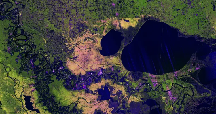
Washington, Jan 31 (NationPress) A detailed radar image from the collaborative effort of the US and India, known as the NISAR Earth-observing satellite, has provided an intricate view of the Mississippi River Delta in southeastern Louisiana. This image showcases the diverse features of urban locales, wetlands, forests, and agricultural lands within one of the US's most intricate landscapes, as stated by NASA.
The radar image was captured on November 29, 2025, utilizing NISAR’s L-band synthetic aperture radar equipment. It prominently features New Orleans, the Mississippi River, Lake Pontchartrain, and adjacent ecosystems, utilizing radar signals that vary in reflection depending on the type and structure of the surface.
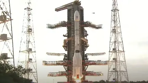
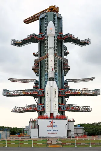
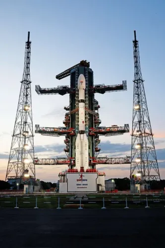
NISAR represents a collaboration between NASA and the Indian Space Research Organisation, highlighting their long-standing partnership in Earth science and satellite technology.
The sharp resolution of the image allows for the clear identification of the Lake Pontchartrain Causeway, which spans nearly 24 miles (39 kilometers), making it the longest continuous bridge over water globally, and is depicted just right of the center of the image.
Flowing from Baton Rouge in the upper left of the image to New Orleans in the lower right, the Mississippi River is prominently illustrated. The vibrant green regions west of the river signify healthy forests, where dense plant life causes the radar’s microwaves to scatter in various directions before returning to the satellite.
In contrast, the Maurepas Swamp, located west of both Lake Pontchartrain and Lake Maurepas, displays a mottled appearance with yellow and magenta hues. These colors reveal diminishing tree populations in the wetland forest ecosystem, impacting the reflection of radar signals.
On either side of the Mississippi River, agricultural plots appear in diverse shapes and brightness. Darker areas denote fallow fields, whereas bright magenta regions indicate the presence of tall plants, such as crops.
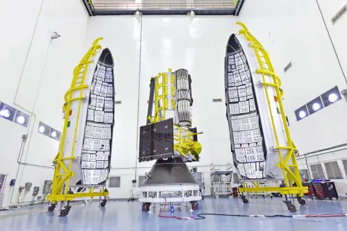
The image also highlights the advanced capabilities of NISAR’s radar systems. Its L-band instrument employs a 9-inch (24-centimeter) wavelength, enabling signals to penetrate forest canopies and assess soil moisture and land movement with precision. This data is vital for the study of earthquakes, landslides, and volcanic activity.
NISAR is also equipped with an S-band radar provided by the Indian Space Research Organisation’s Space Applications Centre. Utilizing a shorter 4-inch (10-centimeter) wavelength, it is more adept at detecting small vegetation and is ideal for monitoring agricultural areas and grasslands.
Since its launch in July 2025, NISAR has been tasked with gathering global data to assist scientists in better understanding alterations in the Earth's surface, ice, and ecosystems. Its rapid observation capabilities are poised to enhance disaster response by delivering before-and-after images in brief intervals.
Point of View
I find the collaboration between the US and India on the NISAR mission not only groundbreaking but also essential in advancing our understanding of Earth's intricate systems. This initiative showcases the power of international cooperation in tackling environmental challenges and enhancing our response to natural disasters.
NationPress
2 Jul 2026
Frequently Asked Questions
What does the radar image of the Mississippi Delta reveal?
The radar image captures detailed features of urban areas, wetlands, forests, and farmland in the Mississippi Delta, highlighting the complexity of this region's landscape.
When was NISAR launched?
NISAR was launched in July 2025, aiming to collect global data to enhance our understanding of Earth's surface changes.
How does NISAR's radar technology work?
NISAR employs L-band and S-band radar systems that utilize specific wavelengths to penetrate vegetation and assess soil moisture, land movement, and vegetation health.
What are the potential applications of NISAR's data?
The data collected by NISAR can be used in various applications, including monitoring climate change, assessing natural disaster impacts, and studying ecosystems.