

Bay of Bengal low-pressure may warm south Bengal; winter chill returns Saturday
Synopsis
A Bay of Bengal low-pressure system is set to briefly disrupt south Bengal's slide into winter — bringing cloudy skies and isolated rain Thursday and Friday — before dry, colder weather reasserts itself from Saturday. Temperatures are forecast to dip by 2–4°C, finally delivering the winter chill that residents have been waiting for.
Key Takeaways
A fresh low-pressure area is likely forming over the Bay of Bengal , according to the IMD on 12 November 2026 .
The system could deepen into a deep depression by Friday , with a well-marked depression within 48 hours thereafter.
Light rainfall is forecast in North 24 Parganas , South 24 Parganas , East Midnapore , and West Midnapore on Thursday and Friday.
Dry weather and a temperature drop of 2 to 4 degrees Celsius expected across south Bengal from Saturday .
Kolkata recorded a maximum of 27.8°C (3.2°C below normal) and a minimum of 22.2°C on Wednesday.
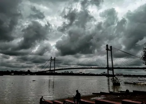
A fresh low-pressure area is likely to form over the Bay of Bengal, temporarily pushing up temperatures across south Bengal before cooler conditions make a comeback from Saturday, the India Meteorological Department (IMD) said on Thursday, 12 November 2026. The development is being closely tracked as it could bring light rain to parts of the region before winter reasserts itself.
How the System Is Forming
According to the IMD, a cyclonic circulation has already developed over the Gulf of Mannar and is expected to intensify as it moves toward the Andaman Sea and the adjoining southeast Bay of Bengal. The system could deepen into a deep depression by Friday, with a well-marked depression likely within the subsequent 48 hours.
A separate cyclonic circulation is currently positioned over northeastern Bangladesh. Additionally, a low-pressure trough stretching from Andhra Pradesh to Uttar Pradesh has shifted across Odisha, Chhattisgarh, and Madhya Pradesh, influencing weather across eastern India. This convergence of systems is what is delaying the full onset of winter chill in the region.
Rain Expected Thursday and Friday
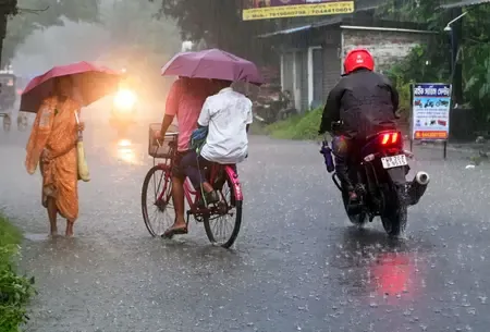
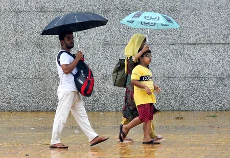
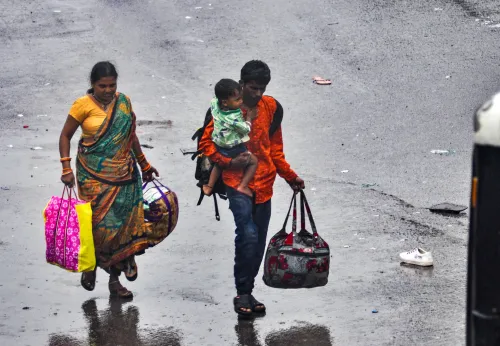
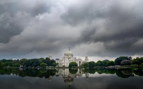
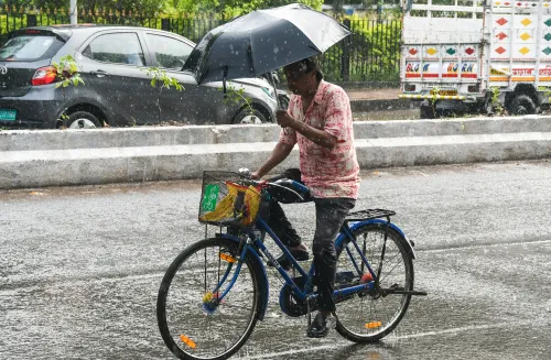
Under the influence of the developing system, skies over south Bengal are expected to remain partly cloudy on Friday. Light rainfall is forecast at isolated locations in North 24 Parganas, South 24 Parganas, East Midnapore, and West Midnapore on both Thursday and Friday. This brief wet spell is consistent with pre-winter low-pressure disruptions that the region typically sees in November.
Winter Returns From Saturday
Dry weather is likely to return to south Bengal from Saturday, the IMD said. Minimum and maximum temperatures are expected to fall by 2 to 4 degrees Celsius over the following days, reinstating the seasonal winter chill. Western districts are anticipated to feel a noticeable nip in the air during morning and evening hours. North Bengal, too, is projected to see predominantly dry weather with a gradual decline in temperatures over the same period.
Kolkata Temperature Snapshot
In Kolkata, the likelihood of rainfall is expected to diminish from Friday, with temperatures projected to begin falling from Saturday. On Wednesday, the city recorded a maximum temperature of 27.8 degrees Celsius — 3.2 degrees below normal — while the minimum stood at 22.2 degrees Celsius, one degree above normal. Relative humidity on the day ranged between 65% and 97%, reflecting the moisture-laden atmosphere ahead of the approaching system.
With the low-pressure system expected to clear by the weekend, Kolkata and the broader south Bengal region are on course for a sharper winter onset in the days that follow.
Point of View
And this one fits the script almost exactly. What is worth noting is that even as temperatures briefly rise, Kolkata's Wednesday maximum was already 3.2 degrees below normal — suggesting winter is arriving ahead of schedule despite this short-lived interruption. The IMD's 48-hour depression forecast also warrants watching for downstream impacts on coastal Andhra Pradesh and Odisha, where the system's trajectory could matter more than it does for Bengal.
NationPress
12 Nov 2026
Frequently Asked Questions
Why is there a temporary rise in temperature in south Bengal?
A fresh low-pressure area forming over the Bay of Bengal is bringing moisture and cloud cover, which temporarily suppresses the overnight cooling and raises daytime humidity across south Bengal. The effect is expected to last only through Friday before dry, cooler air takes over from Saturday.
When will winter chill return to Kolkata and south Bengal?
The IMD expects dry weather and a temperature drop of 2 to 4 degrees Celsius to return across south Bengal from Saturday, 15 November. Kolkata's temperatures are specifically forecast to begin falling from Saturday, ending the brief mercury rise.
Which areas in south Bengal will receive rain this week?
Light rainfall is forecast at isolated locations in North 24 Parganas, South 24 Parganas, East Midnapore, and West Midnapore on Thursday and Friday. The possibility of rainfall in Kolkata is expected to diminish from Friday.
How strong could the Bay of Bengal system become?
The IMD says the cyclonic circulation over the Gulf of Mannar could deepen into a deep depression by Friday, with a well-marked depression likely to form within the subsequent 48 hours. Its exact intensity and track are still being monitored.
What was Kolkata's temperature on Wednesday, 12 November?
Kolkata recorded a maximum temperature of 27.8 degrees Celsius — 3.2 degrees below normal — and a minimum of 22.2 degrees Celsius, one degree above normal, on Wednesday. Relative humidity ranged between 65% and 97%.