Is Bengal Prepared for Heavy Rain as a Cyclone Forms in the Bay of Bengal?
Synopsis
As a low-pressure area develops in the Bay of Bengal, heavy rain is forecasted to hit South Bengal, including Kolkata, starting Tuesday. This weather system has the potential to evolve into a cyclone, prompting authorities to closely monitor its progress. Residents should brace for significant rainfall and potential disruptions.
Key Takeaways
Heavy rainfall is forecasted due to a developing cyclone.
Kolkata and surrounding districts should prepare for severe weather conditions.
Residents are advised to stay updated on weather reports.
Fishermen should avoid the sea until conditions improve.
Monitoring of the cyclone's path is ongoing.
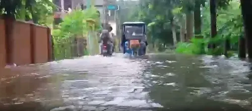
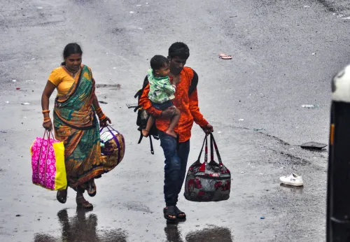
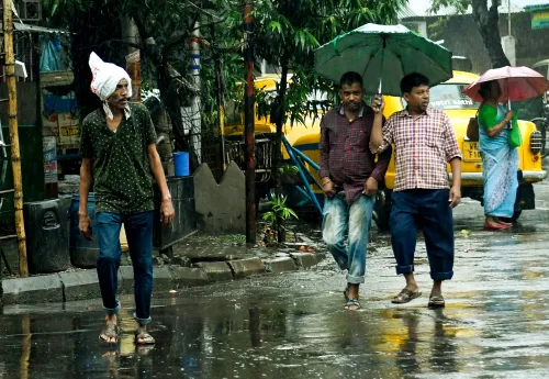
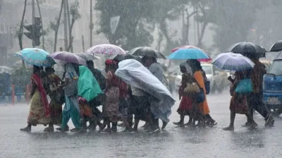
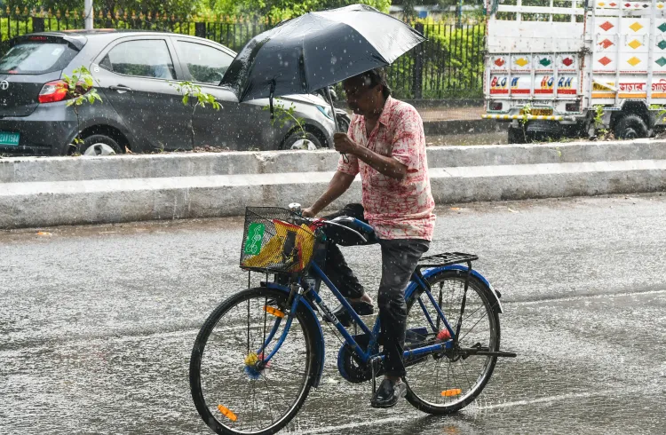
Kolkata, Oct 25 (NationPress) The districts of South Bengal, including Kolkata, are set to experience intense rainfall starting Tuesday due to a low-pressure system developing in the Bay of Bengal, which may evolve into a cyclone, according to the Meteorological Department.
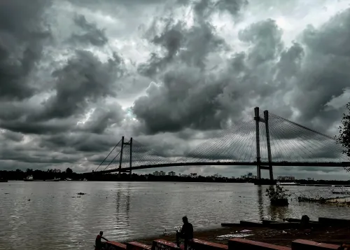
The Met office reported that a low-pressure area has emerged in the southeastern region of the Bay of Bengal. It is gradually shifting in a west and northwest direction. By Sunday, it is expected to strengthen into a deep depression, with a chance of evolving into a cyclone.
This development has led to predictions of significant rainfall in the southern districts of Bengal and Kolkata beginning Tuesday.
A special bulletin from the Regional Meteorological Centre in Kolkata's Alipore indicates that a cyclone might form in the southwestern and adjacent west-central sections of the Bay of Bengal on Monday morning.
The eventual path and landfall of this potential cyclone will be clarified once the system intensifies. Its trajectory will influence the extent of its impact on West Bengal.
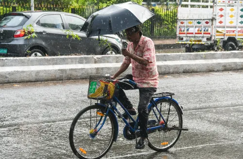
Forecasts suggest that coastal areas of East Midnapore and South 24 Parganas might see rain as early as Monday. Starting Tuesday, areas including Kolkata, South 24 Parganas, North 24 Parganas, East Midnapore, Howrah, Hooghly, and Jhargram are expected to face heavy rainfall and gusty winds reaching speeds of 30 to 40 kilometers per hour, alongside scattered rain and thunderstorms.
“We are vigilantly observing the situation. Conditions are favorable for cyclone development in the Bay of Bengal. The intensity of precipitation in the state will hinge on the cyclone's strength and whether it veers towards West Bengal,” stated a meteorological official.
Additionally, heavy rainfall is anticipated in South 24 Parganas, North 24 Parganas, East Midnapore, West Midnapore, Jhargram, Hooghly, Howrah, Nadia, Murshidabad, and East Burdwan districts, including Kolkata, lasting till Thursday.
Furthermore, northern Bengal may also witness heavy rainfall, particularly in the Jalpaiguri district on Wednesday and in Malda, South Dinajpur, Cooch Behar, and Alipurduar districts on Thursday.
The sea conditions are expected to become turbulent starting Sunday, with wind speeds reaching up to 60 to 70 kilometers per hour. The peak wind speed may escalate to 80 kilometers per hour from Sunday night into Monday morning. Consequently, fishermen in West Bengal are urged to refrain from venturing into the sea until October 28, and those already at sea are advised to return by Monday.
On Friday, the highest temperature recorded in Kolkata was 33.2 degrees Celsius, which is 1.5 degrees Celsius above normal. The minimum temperature settled at 24.8 degrees Celsius, exceeding the norm by 1.8 degrees Celsius.
Point of View
It is vital to remain vigilant and prepared in light of the impending weather changes. The development of a cyclone poses significant risks, and it is imperative for residents to stay informed and heed safety advisories issued by authorities.
NationPress
26 Jul 2026
Frequently Asked Questions
What areas will be affected by the heavy rain?
Heavy rain is expected in South Bengal, particularly in districts such as Kolkata, South 24 Parganas, North 24 Parganas, East Midnapore, Howrah, Hooghly, and Jhargram.
When is the rain expected to start?
The forecast indicates that rain will begin on Tuesday.
Will the cyclone impact the coastal areas?
Yes, the coastal districts of East Midnapore and South 24 Parganas are likely to experience rain on Monday.
What should fishermen do in light of the weather forecast?
Fishermen are advised not to venture into the sea until October 28 and those currently at sea should return by Monday.
How are the temperatures in Kolkata expected to change?
Kolkata's maximum temperature was recorded at 33.2 degrees Celsius, which is above normal, and is expected to remain similar.