

CM Yogi Launches Satellite-Rover Land Measurement Tech in UP
Synopsis
Chief Minister Yogi Adityanath announced on 11 November 2026 that Uttar Pradesh will use satellite and rover technology for land measurement, promising precise surveys to ensure poor landowners receive their rightful entitlements without error or dispute.
Key Takeaways
CM Yogi Adityanath announced satellite-linked rover technology for land measurement ( paimaish ) in Uttar Pradesh on 11 November 2026 .
The system promises centimetre-level accuracy, replacing error-prone manual survey methods.
The CM framed the initiative as a rights-delivery guarantee: 'The poor will receive their rights in every situation.' The move builds on the national Digital India Land Records Modernization Programme (DILRMP) , operational since 2008 .
Pilot district rollouts and statewide budget allocations are the key milestones to watch for implementation credibility.
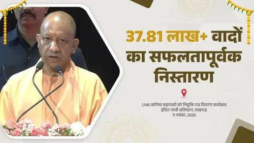
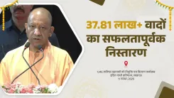
Uttar Pradesh is about to remap its land — from space. Chief Minister Yogi Adityanath, speaking on Wednesday, 11 November 2026, announced that the state will deploy satellite-linked rover technology to conduct land measurements (paimaish), replacing older, error-prone manual methods with precision surveying that leaves no room for dispute.
Quoted by the Chief Minister's Office of Uttar Pradesh, Adityanath declared: 'We have brought a new technology for land measurement. Now measurement will be done through satellite and rover technology will be used for it. This will ensure completely accurate measurement. The poor will receive their rights in every situation — and this arrangement has been put in place.'
Why old-style land surveys have failed UP's poor
In Uttar Pradesh — India's most populous state, home to tens of millions of small and marginal landholders — inaccurate land records have long been a gateway to exploitation. A disputed boundary, a clerical error, a revenue official's pencil-mark: any of these can cost a poor farmer years in court and, often, the land itself. Manual paimaish has historically been vulnerable to exactly these failures, with beneficiaries of government schemes sometimes left out simply because their plot boundaries were wrongly recorded.
The national Digital India Land Records Modernization Programme (DILRMP), running since 2008, created the policy scaffolding for states to digitise and modernise their revenue administration. Uttar Pradesh has repeatedly built on that framework — but the new satellite-rover combination, as described by the CM, represents a step beyond digitisation toward real-time, ground-truthed precision surveying that removes human discretion from the measurement itself.
What rover technology changes on the ground
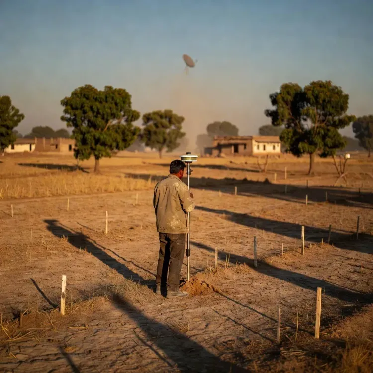
The combination of satellite positioning and rover-based ground equipment allows surveyors to fix plot corners to centimetre-level accuracy — far tighter than the chain-and-compass methods still common in rural revenue surveys. For a smallholder farmer whose entire livelihood may rest on a fraction of a hectare, that margin of precision is not a technical detail. It is the difference between holding title and losing it.
Crucially, the CM framed the rollout as a rights-delivery guarantee: the poor will receive 'their right in every situation.' That language signals this is being positioned not merely as an administrative upgrade but as an anti-exclusion measure — ensuring that welfare entitlements tied to land ownership reach the correct beneficiaries without intermediary distortion.
Pilot districts and the road to statewide rollout
The state's next test will be whether the system scales. Watch for the selection of pilot districts where the satellite-rover survey is first deployed, and for any accompanying budget allocation or legislative amendment to entrench the new methodology in UP's revenue code. The credibility of the announcement rests on those specifics — and on whether the technology's precision survives contact with the complex, often contested, land landscape of rural Uttar Pradesh.
If it does, the state with India's largest population could hand every other state a working blueprint for solving one of independent India's oldest governance failures: getting land rights right for the people at the bottom.
Point of View
Adityanath is also staking political ground: welfare schemes from housing to crop insurance are land-record dependent, so accurate paimaish is upstream of multiple entitlement pipelines. The critical test, however, is execution — previous digitisation rounds in UP produced databases that were technically modern but substantively contested, because legacy errors were simply migrated into digital form. Whether rover precision can break that cycle depends entirely on whether legacy records are corrected before — not after — the new surveys are sealed.
NationPress
11 Nov 2026
Frequently Asked Questions
What is the satellite-rover land survey technology announced by CM Yogi in UP?
The system pairs satellite positioning with ground-based rover equipment to fix land-plot boundaries to high precision, replacing manual chain-and-compass methods that are prone to error and manipulation.
How will the new land measurement technology help poor farmers in Uttar Pradesh?
Accurate plot boundaries ensure that small and marginal farmers are correctly recorded as owners, protecting them from disputes and ensuring they receive welfare entitlements — housing, crop insurance, compensation — that depend on land records.
What is the Digital India Land Records Modernization Programme (DILRMP)?
DILRMP is a national programme launched in 2008 that provides states, including Uttar Pradesh, with the policy and funding framework to digitise and modernise land records and revenue administration.
When did CM Yogi announce the satellite paimaish system?
Chief Minister Yogi Adityanath announced the satellite and rover-based land measurement initiative on Wednesday, 11 November 2026, with the announcement posted by the Chief Minister's Office of Uttar Pradesh on X.
Which districts in UP will get the satellite land survey first?
The Chief Minister's announcement did not specify pilot districts. The selection of initial districts for rollout is the key development to watch as implementation details emerge.