

CM Yogi deploys Rover tech in every UP tehsil for land survey
Synopsis
Chief Minister Yogi Adityanath announced that precision Rover survey machines are now deployed across all Uttar Pradesh tehsils, promising centimetre-accurate land demarcation to protect property rights of the state's poor and marginal farmers.
Key Takeaways
CM Yogi Adityanath announced Rover technology is now operational in every tehsil in Uttar Pradesh.
The machines deliver precision land measurement to prevent boundary disputes that have long harmed small and marginal farmers.
The move extends the mandate of the Digital India Land Records Modernization Programme (DILRMP) , first launched in 2008 .
Tehsils are the sub-district revenue offices where farmers most directly interact with land administration — placing Rover machines there reduces the need to escalate disputes upward.
Accurate demarcation helps formalise land titles, enabling poor farmers to access institutional credit.
Reduction in land litigation cases in UP's revenue courts will be the key indicator of the rollout's real-world impact.
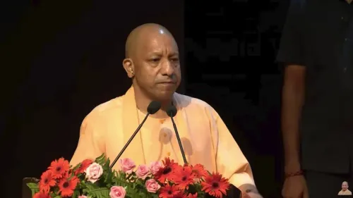
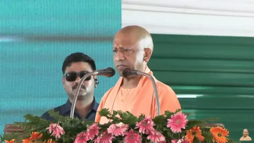
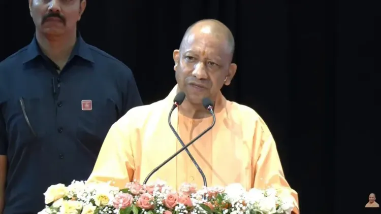
Not an inch of land shall go unaccounted for — that is the guarantee Uttar Pradesh Chief Minister Yogi Adityanath put on record on Wednesday, 11 November 2026, announcing that high-precision Rover survey machines are now operational in every single tehsil across the state.
Speaking about the deployment, CM Yogi stated: 'Rover Technology — ekdam sateek paimaish, ek inch bhi idhar-udhar nahi hone wala' ('Rover Technology — absolutely precise measurement, not even an inch of deviation will be allowed'). He added that the poor will receive their rightful entitlement, and this arrangement has been firmly put in place.
What Rover survey machines actually do
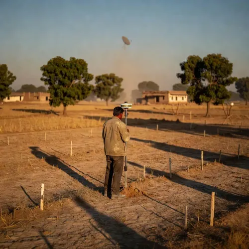
Rover-based land measurement uses GNSS (Global Navigation Satellite System) receivers mounted on handheld rods to fix plot boundaries to centimetre-level accuracy. Unlike older chain-and-theodolite methods, the technology eliminates the human error and deliberate manipulation that have long plagued patwari-level land demarcation in rural India. For a small farmer whose entire livelihood rests on a quarter-acre plot, a 'one-inch error' historically translated into lost land, lost loans, and lost livelihoods.
UP's long road to revenue reform
The groundwork for this push was laid nationally by the Digital India Land Records Modernization Programme (DILRMP), launched in 2008, which set out to computerise and update land records across states. Uttar Pradesh — India's most populous state and home to tens of millions of small and marginal landholders — accelerated its own technology-driven land reforms after 2017, when the Yogi government took office. Accurate demarcation directly supports the formalisation of property titles, unlocking access to institutional credit for farmers who previously had no bankable proof of ownership.
Why tehsils are the critical link
Tehsils are the sub-district units that sit at the sharp end of land revenue administration — the offices where farmers file complaints, get records certified, and contest boundaries. Placing Rover machines at this level, rather than only at district headquarters, removes the need for a small farmer to escalate a measurement dispute through a cumbersome bureaucratic chain. The stated goal: settle the question of 'whose land is whose' on-site, with hardware that generates a digital, court-admissible record.
What to watch next
The real test will show up in Uttar Pradesh's revenue department data over the coming seasons — specifically in the number of land litigation cases filed at tehsil and district courts. Integration with central mapping schemes and any reduction in pendency at land tribunals will signal whether the hardware rollout has translated into on-ground relief for the state's rural poor.
For millions of UP farmers, the promise is simple and consequential: a satellite above their field, a machine on their boundary, and a record no one can quietly alter.
Point of View
Tangible extension of UP's post-2017 e-governance push into the most contentious arena of rural politics: land. By anchoring the initiative in the language of rights for the poor rather than administrative efficiency, CM Yogi is simultaneously pursuing a governance outcome and a political narrative — positioning the BJP-led state government as the enforcer of equitable land access. The critical question is implementation depth: hardware in every tehsil is a necessary condition, not a sufficient one, if the human chain of patwaris and revenue inspectors retains discretion over how and when the machines are used. Convergence with central digital land-record schemes could make the gains sticky and harder to reverse under future administrations.
NationPress
11 Nov 2026
Frequently Asked Questions
What is Rover technology for land measurement?
Rover technology uses portable GNSS (satellite-based) receivers to fix land plot boundaries with centimetre-level precision, eliminating the human error and manipulation common in older chain-and-theodolite survey methods.
Why is Rover technology being deployed in UP tehsils?
Uttar Pradesh Chief Minister Yogi Adityanath has deployed Rover machines in all tehsils to ensure accurate land demarcation, protect the property rights of poor and marginal farmers, and reduce long-standing boundary disputes.
What is the Digital India Land Records Modernization Programme?
The Digital India Land Records Modernization Programme (DILRMP) was launched by the central government in 2008 to computerise and update land records across India, forming the policy backbone for state-level reforms like UP's Rover deployment.
How will accurate land surveys help poor farmers in UP?
Precise, digitally recorded land titles allow small and marginal farmers to formally prove ownership, which unlocks access to institutional bank loans and protects them from encroachment or fraudulent boundary changes.
How many tehsils are there in Uttar Pradesh?
Uttar Pradesh has over 350 tehsils spread across its 75 districts, making a statewide Rover deployment a significant logistical undertaking in India's most populous state.