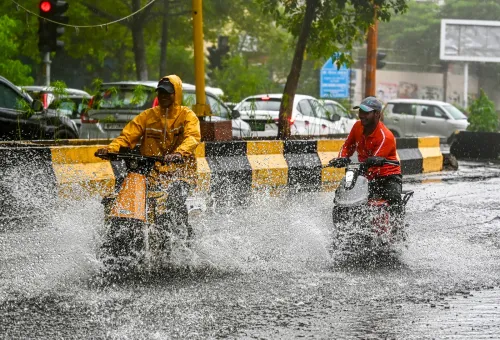
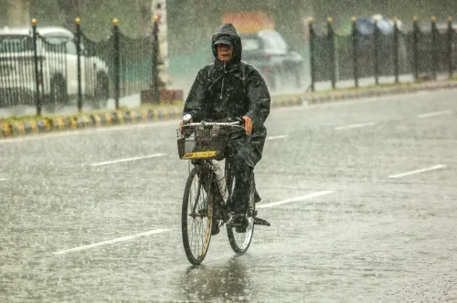
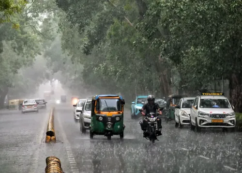
Delhi-NCR monsoon forecast: IMD predicts rain till August 16
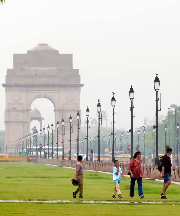
Synopsis
Delhi has already blown past its entire August rainfall average — and the IMD says the active monsoon spell is far from over. With a fresh low-pressure system forming over the Bay of Bengal around 12 August and multiple weather systems converging, the national capital and large swathes of north and central India are bracing for continued heavy rain through at least 16 August.
Key Takeaways
IMD has forecast light to moderate rainfall in Delhi-NCR through 16 August , with heavy spells on 11 and 13 August .
Delhi's Safdarjung observatory recorded 98.7 mm of rain in a single day — the highest August single-day total since 1 August 2024 .
The city's cumulative August rainfall has already exceeded its monthly climatological average of 226.8 mm by 3.3 mm .
Extremely heavy rainfall warnings have been issued for East Rajasthan and parts of Madhya Pradesh .
A new low-pressure area is expected to form over the northwest Bay of Bengal around 12 August , potentially extending the active monsoon phase.
West and East Uttar Pradesh face heavy rain alerts between 11 and 15 August .
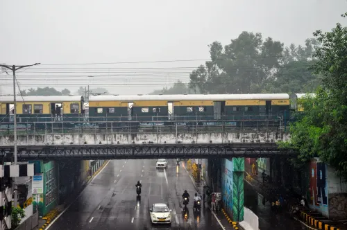
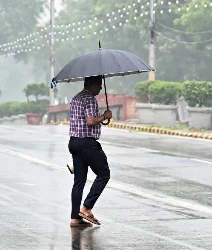
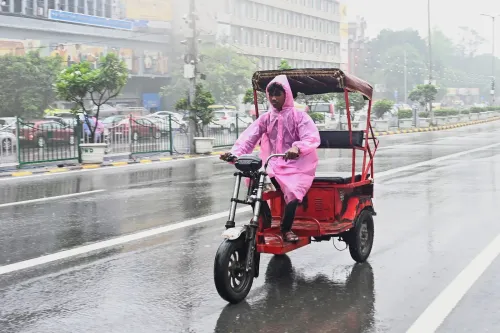
Delhi-NCR woke up to overcast skies and light winds on Tuesday, 11 August, as the India Meteorological Department (IMD) forecast light to moderate rainfall across the national capital and surrounding areas through 16 August. The active monsoon spell is part of a broader nationwide weather system that the IMD says will bring heavy to very heavy rain across northwest, central, eastern, northeastern, and western India in the coming days.
Key Developments
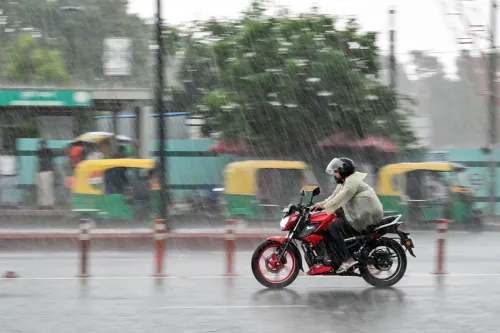
The IMD has flagged fairly widespread to widespread rainfall over Delhi and Haryana on 11 August, with another significant spell expected on 13 August. Isolated heavy rainfall has been forecast for Haryana, Chandigarh, and Delhi on both dates. Residents have been advised to stay alert for sudden heavy showers, waterlogging, and possible traffic disruptions during periods of intense rain.
The weather department has additionally warned of extremely heavy rainfall at isolated locations in East Rajasthan and parts of Madhya Pradesh. Thunderstorms, lightning, and strong winds are also likely across several states during this active phase.
What Is Driving the Monsoon Activity
According to the IMD, the monsoon trough remains active and is positioned south of its normal location at lower tropospheric levels. A low-pressure area over north Madhya Pradesh and adjoining regions, combined with weather systems over the Bay of Bengal and central India, is amplifying rainfall across large parts of the country.
Notably, an upper-air cyclonic circulation over the northwest Bay of Bengal is expected to trigger the formation of another low-pressure area over the same region around 12 August — a development that could sustain or intensify the active monsoon phase further.
Delhi's Rainfall Record and Monthly Average
Delhi recently logged its wettest August day in two years. The Safdarjung observatory recorded 98.7 mm of rainfall in the 24 hours ending 8:30 am on Saturday — the highest single-day August total since 1 August 2024, when 107.6 mm was measured.
The city's mean total rainfall for August, based on the 1991–2020 climatological period, stands at 226.8 mm. Cumulative rainfall so far this month has already exceeded that monthly average by 3.3 mm, according to the IMD.
Uttar Pradesh Outlook
West Uttar Pradesh is expected to receive heavy rainfall on 11 August, with the IMD forecasting continued heavy rain over the region on 14 and 15 August. East Uttar Pradesh is likely to see widespread rainfall activity later in the week, with heavy rain forecast between 13 and 15 August.
What to Watch
With another low-pressure system potentially forming over the Bay of Bengal around 12 August, the monsoon's intensity could remain elevated well beyond the current forecast window. Authorities in flood-prone districts of Madhya Pradesh, Rajasthan, and the Gangetic plains are expected to remain on high alert as multiple weather systems interact simultaneously.
Point of View
A north Madhya Pradesh low-pressure system, and a Bay of Bengal cyclonic circulation forming simultaneously is the kind of multi-system stacking that historically precedes flash-flood events in the Gangetic plains. The IMD's warnings are calibrated and factual, but urban infrastructure in Delhi and secondary cities in UP and Rajasthan is rarely prepared for sustained above-average spells. The real risk is not the headline rainfall number — it is the waterlogging, drainage failure, and traffic paralysis that follow in cities where stormwater systems were designed for a different climatological baseline.
NationPress
25 Sept 2026
Frequently Asked Questions
What has the IMD forecast for Delhi-NCR weather from 11 to 16 August?
The IMD has forecast light to moderate rainfall in Delhi-NCR through 16 August, with fairly widespread to widespread rain on 11 August and another significant spell on 13 August. Isolated heavy rainfall alerts are in place for Delhi, Haryana, and Chandigarh on both dates.
How much rain did Delhi record recently, and how does it compare to the monthly average?
The Safdarjung observatory recorded 98.7 mm of rainfall in the 24 hours ending 8:30 am on Saturday — Delhi's wettest August day in two years. The city's cumulative August rainfall has already crossed its monthly climatological average of 226.8 mm (based on the 1991–2020 period) by 3.3 mm.
Which states face heavy or extremely heavy rainfall warnings?
The IMD has warned of extremely heavy rainfall at isolated places in East Rajasthan and parts of Madhya Pradesh. Heavy rain alerts are also in place for West and East Uttar Pradesh between 11 and 15 August, along with thunderstorm and lightning warnings across several states.
What weather systems are driving the active monsoon spell?
The active spell is being driven by a monsoon trough positioned south of its normal location, a low-pressure area over north Madhya Pradesh, and an upper-air cyclonic circulation over the northwest Bay of Bengal. The IMD expects another low-pressure area to form over the Bay of Bengal around 12 August, which could sustain the intense rainfall activity.
What precautions should Delhi-NCR residents take during this monsoon phase?
The IMD has advised residents to stay alert for sudden heavy showers, waterlogging, and possible traffic disruptions during periods of intense rainfall. Residents should avoid low-lying or flood-prone areas during peak rain hours and monitor official IMD updates for real-time warnings.