Will J&K Experience Moderate to Heavy Snowfall Starting January 22?
Synopsis
Get ready for significant weather changes in Jammu & Kashmir! The region is set to experience moderate to heavy snowfall starting January 22. This advisory from the Meteorological Department highlights potential disruptions and hazards, urging residents and travelers to stay alert.
Key Takeaways
Moderate to heavy snowfall expected in J&K from January 22-28.
Two Western Disturbances will affect the region.
Peak snowfall activity on January 23 and January 27 .
Travelers advised to plan accordingly due to potential disruptions.
Residents in vulnerable areas should exercise caution.
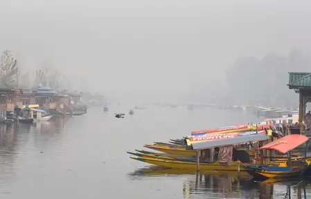
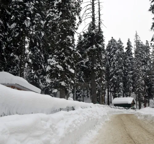
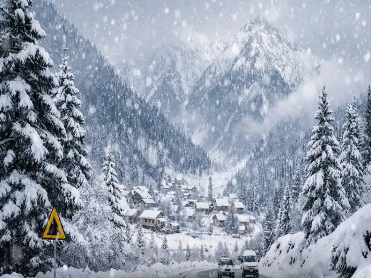
Srinagar, Jan 19 (NationPress) The Jammu and Kashmir Meteorological Department issued a weather alert on Monday, revealing that the prolonged dry spell is poised to end with moderate to heavy snowfall, particularly in the plains of the Kashmir Valley, expected from the evening of January 22 through January 28.
The advisory indicates a significant change in weather, as two Western Disturbances are anticipated to impact J&K in rapid succession over the coming days.
The initial and more severe system is forecasted to affect J&K and surrounding areas between January 22-24, with peak activity occurring on January 23.
The second, relatively milder system is projected to arrive from the night of January 26 and persist until the morning of January 28, peaking on January 27, as per the advisory.
These weather systems are expected to bring widespread light to moderate rain and snowfall, with isolated areas experiencing heavy precipitation, especially during peak activity.
The Met Department noted that the first system is likely to result in substantial snowfall and rain over the Pir Panjal Range, including the Chenab Valley in the Jammu division, and the higher regions of South Kashmir, encompassing areas like Anantnag, Pahalgam, Kulgam, Shopian, Pir Ki Gali, Gulmarg, the Sonamarg-Zojila axis, Bandipora-Razdan Pass, Kupwara-Sadhna Pass, along with districts such as Doda, Udhampur, Reasi, Kishtwar, and Ramban.
Similar effects, albeit of moderate to heavy intensity, are anticipated during the second system as well.
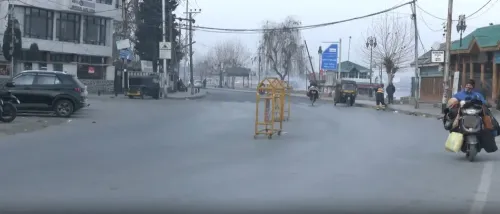
The advisory also cautions about potential disruptions to both surface and air transport, including the Jammu-Srinagar Highway and other major routes in the mid and high-altitude regions of J&K.
There is also a risk of landslides, mudslides, and gusty winds ranging from 40 to 60 kmph in vulnerable spots.
Given the forecast, travelers, tourists, and transport operators are urged to plan their journeys with caution.
Residents in snow-prone areas are advised against venturing into sloped and avalanche-prone zones, while farmers should consider halting irrigation, fertilizer application, and chemical spraying during this time.
A Western Disturbance refers to an extra-tropical storm originating from the Mediterranean region that brings sudden winter rain to the northwestern parts of the Indian subcontinent, extending as far east as northern Bangladesh and southeastern Nepal.
The prospects for the rabi crop in India, Pakistan, Nepal, and Bangladesh are heavily reliant on the activities of these Western Disturbances.
Point of View
I believe this weather advisory is crucial for the safety and preparedness of those in Jammu and Kashmir. The anticipated snowfall could lead to significant disruptions, and it’s vital for residents and travelers to heed these warnings and take necessary precautions.
NationPress
29 Jun 2026
Frequently Asked Questions
What is a Western Disturbance?
A Western Disturbance is an extra-tropical storm that originates in the Mediterranean region, bringing sudden winter rain and snow to northwestern parts of the Indian subcontinent.
When is the snowfall expected?
Moderate to heavy snowfall is expected from the evening of January 22 until January 28.
Are there any travel advisories?
Yes, travelers and transporters are advised to plan their journeys carefully due to potential disruptions to surface and air transport.
What regions will be affected by the snowfall?
The snowfall will primarily impact the Kashmir Valley, including regions like Anantnag, Pahalgam, and Gulmarg.
What precautions should residents take?
Residents in snow-prone areas should avoid sloped and avalanche-prone zones and farmers should stop irrigation and chemical spraying during this period.