NESAC maps India-Myanmar border, drives space tech push across Northeast
Synopsis
NESAC is quietly doing some of India's most consequential spatial work — mapping the India-Myanmar border while running 130 projects across eight northeastern states. With flood warnings, bamboo mapping, and geotourism dashboards all in play, the Umiam-based centre is emerging as a full-spectrum development and security asset for India's most strategically sensitive region.
Key Takeaways
NESAC is conducting geo-spatial mapping of the India-Myanmar international border and inter-state boundaries in the Northeast.
The centre is implementing nearly 130 space application projects across 8 northeastern states ; 50 completed , 78 ongoing .
Minister Jitendra Singh directed NESAC to improve flood early warning systems with more location-specific alerts.
NESAC has been asked to replicate the Ramakrishna Mission Cherrapunjee rainwater harvesting model across the region.
Closer coordination with NECBDC sought for bamboo resource mapping and value addition.
Singh called for strengthening the 'ManzilNE' GeoTourism dashboard by involving private tourism stakeholders.
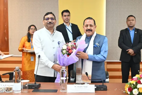
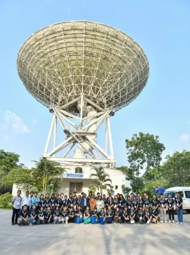
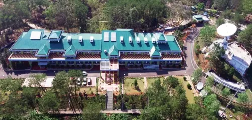
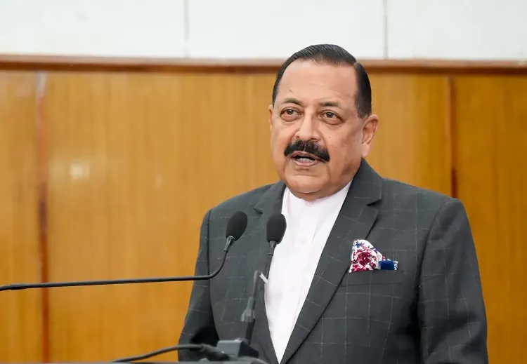
The North Eastern Space Applications Centre (NESAC) is conducting geo-spatial mapping of the India-Myanmar international border and inter-state boundaries across the Northeast, while simultaneously running nearly 130 space application projects across the region's eight states, Union Minister of State for Science and Technology Jitendra Singh said on Tuesday, 14 July. The minister made the remarks during a review of NESAC's programmes at its headquarters in Umiam, Meghalaya.
Scale of Operations
Of the 130 active projects, around 50 have been completed and 78 are currently under implementation. These span sectors including agriculture, forestry, urban planning, geosciences, satellite communication, unmanned aerial vehicle (UAV) applications, disaster management, and capacity building. Singh described NESAC as a 'vital link' between India's space programme and grassroots development, calling it a strategic partner in both national security and regional growth.
Border Security and Geospatial Priority
The geo-spatial mapping of the India-Myanmar border — one of India's most sensitive frontiers — underscores NESAC's expanding national security mandate. Singh stressed the strategic importance of geospatial technologies in such sensitive zones. This comes amid sustained focus by the Centre on fortifying the country's northeastern borders through technology-driven surveillance and monitoring.
Flood Warning, Water Security, and Bamboo Mapping
With floods battering the Northeast nearly every monsoon season, Singh directed NESAC to sharpen the accuracy of its flood early warning systems, seeking more location-specific and timely alerts for vulnerable communities. He also urged the Centre to work with state governments to replicate successful rainwater harvesting models, citing the initiative at the Ramakrishna Mission in Cherrapunjee as a replicable template for long-term water security.
On the economic front, Singh called for tighter coordination between NESAC, the North East Cane and Bamboo Development Council (NECBDC), and state governments to strengthen bamboo resource mapping and promote value addition — highlighting bamboo as one of the Northeast's most significant economic assets.
Tourism and Collaboration Push
Singh asked NESAC to strengthen its 'ManzilNE' GeoTourism dashboard by bringing in private tourism stakeholders. He further advocated deeper collaboration with central ministries, state governments, research institutions, start-ups, and industry to accelerate the adoption of space technologies across the region. Institutions like NESAC, he said, would remain central to improving governance, disaster resilience, and sustainable development in the Northeast.
Point of View
A region historically underserved by physical infrastructure. The India-Myanmar border mapping is particularly significant given ongoing instability across the border and the Centre's push to tighten surveillance on that frontier. The real question is whether NESAC's outputs are being systematically absorbed by state governments or remain largely in the domain of project reports. With 78 projects still under implementation across eight states, execution quality and last-mile data utilisation will determine whether this space investment translates into measurable development outcomes.
NationPress
13 Oct 2026
Frequently Asked Questions
What is NESAC and where is it located?
The North Eastern Space Applications Centre (NESAC) is a joint initiative of the Department of Space and the North Eastern Council, headquartered in Umiam, Meghalaya. It applies satellite and geospatial technologies to development and governance challenges across India's eight northeastern states.
What is NESAC's role in India-Myanmar border mapping?
NESAC is carrying out geo-spatial mapping of the India-Myanmar international border as well as inter-state boundaries within the Northeast. The mapping supports national security objectives by providing precise spatial data for sensitive frontier zones.
How many projects is NESAC currently running in the Northeast?
NESAC is implementing nearly 130 space application projects across the eight northeastern states. Of these, around 50 have been completed and 78 are currently under implementation across sectors including agriculture, disaster management, UAV applications, and urban planning.
What did Minister Jitendra Singh direct NESAC to improve?
Singh directed NESAC to enhance the accuracy of its flood early warning systems to deliver more location-specific alerts, collaborate with states on replicating rainwater harvesting models, strengthen bamboo resource mapping with NECBDC, and expand the ManzilNE GeoTourism dashboard with private sector involvement.
What is the ManzilNE GeoTourism dashboard?
ManzilNE is a geospatial tourism dashboard developed by NESAC to support tourism planning and promotion in the Northeast. Minister Singh asked NESAC to strengthen it further by involving private tourism stakeholders to broaden its reach and utility.