Jitendra Singh visits NESAC, hails space tech role in Northeast
Synopsis
Union Minister Dr. Jitendra Singh visited NESAC at Ri-Bhoi, Meghalaya on 14 July 2026, spotlighting the ISRO-affiliate centre's strategic border mapping, flood early warning systems, and the ManzilNE GeoTourism dashboard as key tools driving governance and development across the Northeast.
Key Takeaways
NESAC , an ISRO affiliate at Ri-Bhoi, Meghalaya , was visited by Union Minister Dr.
Jitendra Singh on 14 July 2026 .
The centre conducts strategic geospatial mapping of the India-Myanmar border and inter-state boundaries in the Northeast.
NESAC's space technology-driven flood early warning system provides critical alerts to vulnerable communities across the region.
The ManzilNE GeoTourism dashboard guides tourists and supports private tour operators in the northeastern states.
NESAC was established in September 2000 as a joint initiative of ISRO and the North Eastern Council .
The centre's work spans agriculture, disaster management, water resources, natural resource management, and governance across the eight northeastern states.
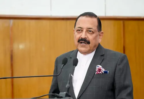
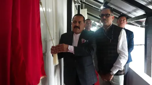
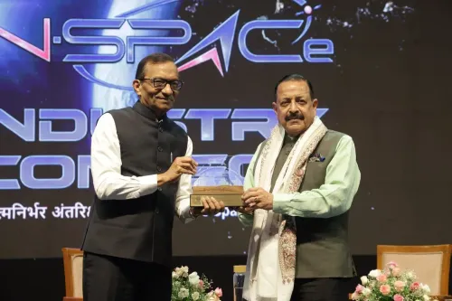
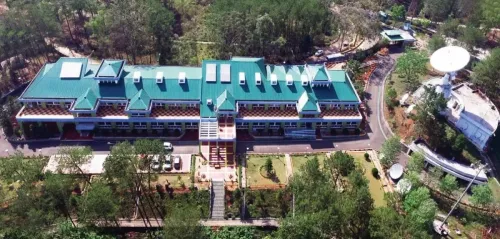
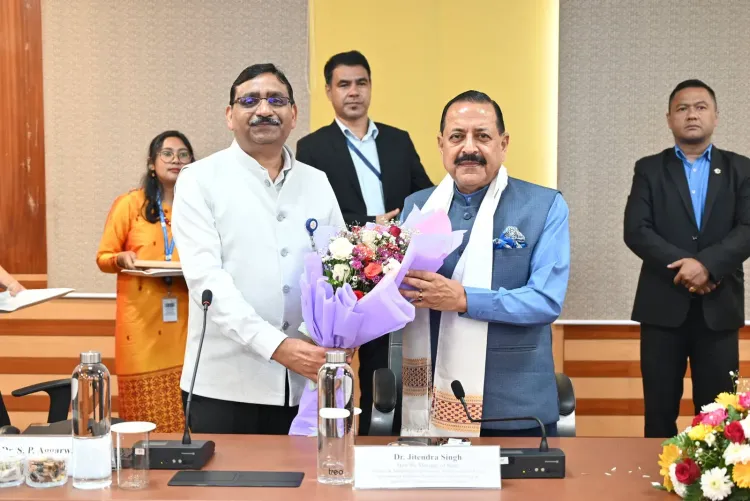
Union Science and Technology Minister Dr. Jitendra Singh visited the North Eastern Space Applications Centre (NESAC) at Ri-Bhoi, Meghalaya, on Tuesday, 14 July 2026, highlighting the centre's expanding role in strategic mapping and socio-economic development across the northeastern region.
Context
NESAC, an affiliate of the Indian Space Research Organisation (ISRO), was established as a registered society in September 2000 as a joint initiative between ISRO and the North Eastern Council (NEC). The centre was set up to extend ISRO's remote-sensing and geospatial capabilities directly to the eight northeastern states, bridging the gap between national space assets and regional development needs.
Dr. Singh noted that NESAC has, in recent years, 'evolved into a vital institution supporting both national strategic priorities and the socio-economic development of the North Eastern Region through the application of space technology.'
Policy Backdrop
NESAC's mandate reflects the dual civilian-strategic character of India's space programme. The centre is actively engaged in strategic geospatial mapping of the India-Myanmar border as well as inter-state boundaries within the Northeast — work that feeds directly into national security and Act-East connectivity planning.
Simultaneously, the centre implements technology-driven projects spanning agriculture, disaster management, natural resource management, water resources, and governance. This decentralised model — channelling ISRO capabilities through a regional centre — has been a consistent feature of successive governments' approach to the Northeast, aligning with the broader policy of using satellite data for both governance and strategic purposes.
Dr. Singh specifically cited NESAC's space technology-driven flood early warning system as having 'immensely benefited the communities in vulnerable areas' — a critical tool for a region that faces recurring and severe flooding every monsoon season.
Stakeholders and Impact
The minister highlighted two flagship applications during his visit. The flood early warning system provides timely alerts to communities in flood-prone zones across the Northeast, enabling better preparedness and potentially reducing loss of life and property.
The second is the GeoTourism 'ManzilNE' dashboard, a NESAC-developed digital platform that serves as a guide for tourists visiting the region while also facilitating greater participation by private tour operators in the tourism sector. NESAC's growing engagement with North Eastern state governments has positioned space technology as 'an effective tool for planning, governance, resource management and public service delivery in the region,' according to Dr. Singh.
Key stakeholder groups benefiting from NESAC's work include state government departments across the eight northeastern states, flood-vulnerable communities, farmers relying on agricultural advisories, and the tourism industry including private operators.
What's Next
The visit signals continued ministerial attention to deepening NESAC's integration with state-level governance frameworks in the Northeast. Broader adoption of NESAC's flood-warning and geospatial tools by individual state governments, and potential integration with national satellite constellations being developed under India's evolving Space Policy framework, will be key indicators to watch in the months ahead.
As India expands its space economy and pushes for greater civilian and strategic use of satellite data, regional centres like NESAC are likely to see enhanced mandates — particularly given the Northeast's strategic importance at the intersection of domestic development priorities and India's Act-East foreign policy.
Point of View
The minister reinforces the dual-use narrative that has long anchored India's space programme. The visit also reflects the government's broader push to make ISRO's capabilities tangible for ordinary citizens, not just strategic planners. With India's Space Policy framework still being operationalised, regional centres like NESAC are likely to be positioned as proof-of-concept models for decentralised space-tech governance.
NationPress
13 Oct 2026
Frequently Asked Questions
What is NESAC and where is it located?
NESAC, the North Eastern Space Applications Centre, is an affiliate of ISRO located at Ri-Bhoi in Meghalaya. It was established in September 2000 as a joint initiative of ISRO and the North Eastern Council to extend space-technology services to the eight northeastern states.
What is the ManzilNE dashboard?
ManzilNE is a GeoTourism dashboard developed by NESAC that provides digital guides for tourists visiting the northeastern region and facilitates greater participation by private tour operators in the tourism sector.
How does NESAC help with flood management in the Northeast?
NESAC operates a space technology-driven flood early warning system that provides timely alerts to communities in flood-vulnerable areas across the Northeast, helping them prepare for and respond to flooding events.
What strategic work does NESAC do on the India-Myanmar border?
NESAC conducts strategic geospatial mapping of the India-Myanmar border as well as inter-state boundaries within the northeastern region, supporting national security and connectivity planning.
Why did Union Minister Jitendra Singh visit NESAC in July 2026?
Dr. Jitendra Singh, Union Minister of State (Independent Charge) for Science and Technology, visited NESAC on 14 July 2026 to review the centre's contributions to strategic mapping, disaster management, agriculture, and governance in the northeastern states.