Rajasthan monsoon 2025: Bharatpur's Baretha Dam nears capacity, 50 villages on alert
Synopsis
Rajasthan's monsoon intensified sharply on 7 August, pushing Bharatpur's Baretha Dam to within 2.4 feet of full capacity and triggering flood alerts for 50 villages along the Kukund River. With a low-pressure system forming over the Bay of Bengal and IMD forecasting very heavy spells through 10 August, the state's eastern districts face several more days of high-risk rainfall before conditions ease around 15 August.
Key Takeaways
Baretha Dam in Bharatpur reached 26.60 feet against a full capacity of 29 feet ; gates may open if level hits 27 feet .
Flood alert issued for 50 villages along the Kukund River in Bharatpur district.
Highest rainfall of 158 mm recorded at Pahadi, Deeg district in the past 24 hours .
Water levels up to four feet reported in Sadulpur (Churu) ; markets inundated in Shrimadhopur (Sikar) with three feet of water.
Maximum temperatures fell by up to 6°C across eastern Rajasthan; Dausa recorded 28.1°C .
IMD forecasts heavy to very heavy rainfall in eastern Rajasthan through 10 August , with activity easing from 15 August .
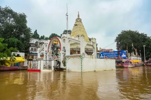
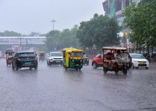
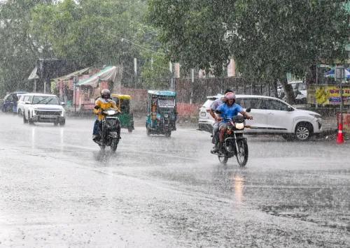
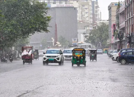
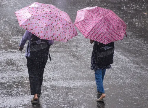
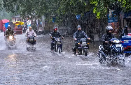
Heavy monsoon rainfall battered several districts of Rajasthan on Friday, 7 August, disrupting daily life through widespread waterlogging, flooding of homes and markets, and a sharp drop in daytime temperatures. Authorities issued an alert for 50 villages in Bharatpur district as the Baretha Dam — the district's largest reservoir — pushed close to its full storage capacity.
Baretha Dam Alert and Flood Risk
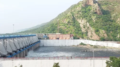
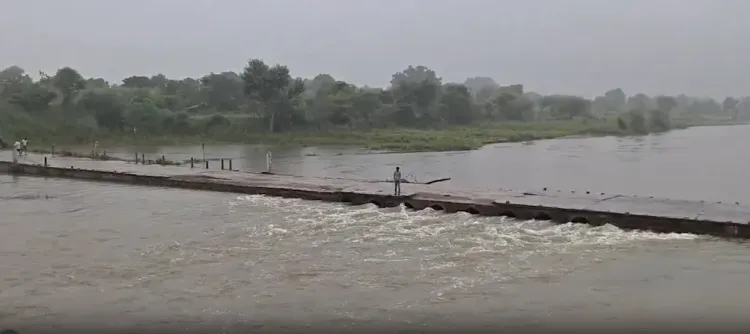
The water level at Baretha Dam climbed to 26.60 feet against a full capacity of 29 feet. Officials warned that if the level reaches 27 feet, the dam gates may be opened without further notice to manage inflow. As a precautionary measure, the district administration issued a flood alert for 50 villages along the Kukund River, urging residents to stay away from low-lying areas and remain on standby.
Separately, in Nadbai (Bharatpur), large portions of two houses collapsed due to persistent rain. No casualties were reported. A two-storey house in Ghilawati village under the Kaman area of Deeg district also gave way following heavy rainfall; again, no injuries were recorded.
Conditions Across Affected Districts
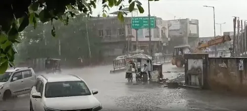
In Jaipur, rainfall that began late Thursday night continued intermittently until around 11 am on Friday, causing waterlogging across low-lying localities and bringing daytime temperatures down noticeably.
In Shrimadhopur town of Sikar district, heavy morning showers inundated major markets, with water rising to three feet. Significant rainfall was also recorded in Neem Ka Thana and surrounding areas.
Sadulpur city in Churu district saw water accumulation of up to four feet in several localities, with water entering homes. A sewerage line collapsed in Ward No. 1, disrupting civic services.
In Rajakheda town of Dholpur district, residential colony roads were submerged. Officials issued a separate alert as the Parvati River continued to rise, with concerns that some villages could be temporarily cut off. Continuous rainfall over two days caused structural damage at multiple locations in the district.
In Karauli district, rainfall over the preceding two days raised the water level of Jagar Dam by approximately 1.5 feet.
What the Met Office Said
R.S. Sharma, Director, India Meteorological Department (IMD) Jaipur, attributed the intense activity to a combination of weather systems. 'An upper-air cyclonic circulation persists over southwestern Uttar Pradesh and adjoining areas. Another cyclonic circulation has developed over the northwest Bay of Bengal and adjoining parts of eastern India and is likely to intensify into a low-pressure area during the next 24 hours. The monsoon trough currently passes through Sri Ganganagar and Delhi,' he said.
Sharma confirmed that during the past 24 hours, heavy to very heavy rainfall occurred at isolated places across Alwar, Bharatpur, Jaipur, Deeg, Dholpur, Karauli, Sawai Madhopur, and Sikar districts. The highest single-point rainfall of 158 mm was recorded at Pahadi in Deeg district.
Forecast: Active Monsoon Through Mid-August
According to Sharma, moderate to heavy rainfall is expected across the Bharatpur, Jaipur, Kota, Ajmer, and Udaipur divisions between 8 and 10 August, with isolated locations in eastern Rajasthan likely to receive very heavy rainfall during this period. Rainfall is also expected to intensify over parts of western Rajasthan — particularly the Jodhpur and Bikaner divisions — in the same window. Activity is forecast to gradually ease across most of Rajasthan from 15 August onwards.
Temperature Drop Across Eastern Rajasthan
The widespread rainfall triggered a significant fall in maximum temperatures across eastern Rajasthan, with some areas recording drops of up to 6 degrees Celsius. Maximum temperatures recorded on the day included: Dausa at 28.1°C, Alwar at 27.8°C, Sirohi at 27.6°C, Pratapgarh at 28.7°C, Dungarpur at 30.6°C, and Udaipur at 31°C. District administrations across vulnerable areas have advised residents to follow official advisories and remain alert as the monsoon is expected to stay active through the coming week.
Point of View
Dholpur, Churu, and Sikar point to a systemic stress, not isolated weather. What is missing from official communication is a clear, pre-announced gate-opening protocol: telling 50 villages to 'remain vigilant' without specifying trigger thresholds or evacuation routes is inadequate crisis communication. The IMD forecast of continued heavy spells through 10 August gives the administration a narrow window to act before the next rainfall cycle arrives.
NationPress
22 Sept 2026
Frequently Asked Questions
Why has a flood alert been issued in Bharatpur, Rajasthan?
Authorities issued a flood alert for 50 villages in Bharatpur because the Baretha Dam — the district's largest reservoir — rose to 26.60 feet against its full capacity of 29 feet. If the water level reaches 27 feet, the dam gates may be opened, sending water down the Kukund River and potentially inundating low-lying villages.
Which areas of Rajasthan were worst affected by rain on 7 August?
The worst-affected areas included Bharatpur, Dholpur, Sikar, Churu, Karauli, Jaipur, and Deeg districts. Sadulpur in Churu saw water accumulation of up to four feet, while Shrimadhopur in Sikar reported three feet of water in markets. The highest rainfall — 158 mm — was recorded at Pahadi in Deeg district.
What is the IMD forecast for Rajasthan's monsoon in August 2025?
The India Meteorological Department has forecast moderate to heavy rainfall across the Bharatpur, Jaipur, Kota, Ajmer, and Udaipur divisions between 8 and 10 August, with isolated very heavy spells in eastern Rajasthan. Rainfall activity is expected to gradually decrease across most of Rajasthan from 15 August onwards.
Were any casualties reported in the Rajasthan floods?
No casualties were reported. Portions of two houses collapsed in Nadbai (Bharatpur) and a two-storey house gave way in Ghilawati village in Deeg district, but no injuries were recorded in either incident.
What weather systems are driving the heavy rainfall in Rajasthan?
According to IMD Jaipur Director R.S. Sharma, an upper-air cyclonic circulation over southwestern Uttar Pradesh and a separate cyclonic circulation over the northwest Bay of Bengal — likely to intensify into a low-pressure area within 24 hours — are the primary drivers. The monsoon trough currently runs through Sri Ganganagar and Delhi, channelling moisture into Rajasthan.