

SVAMITVA scheme: Survey of India maps 14,866 Gujarat villages
Synopsis
The Survey of India has mapped 14,866 Gujarat villages under the SVAMITVA scheme, providing the geospatial bedrock for formal rural property titles. The same directorate is simultaneously mapping 55 cities under AMRUT 2.0, surveying the Mumbai-Ahmedabad High-Speed Rail corridor, and completing LiDAR work for a nuclear facility — making it one of the most active geospatial operations in India right now.
Key Takeaways
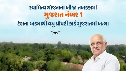
Survey of India has mapped rural habitation areas in 14,866 villages across Gujarat under the SVAMITVA scheme.
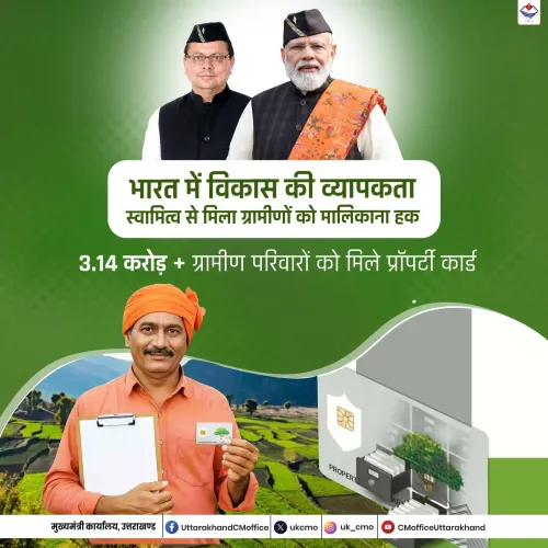
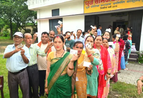
Mapping enables issuance of legal property ownership documents to rural households previously lacking formal title.
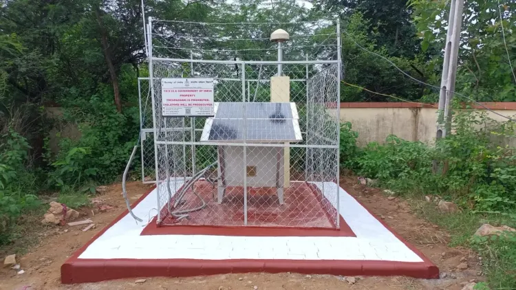
102 Continuously Operating Reference Stations (CORS) provide centimetre-level positioning accuracy across Gujarat and Daman and Diu.
Under AMRUT 2.0 , mapping is under way for 55 cities to support GIS-based development and master plans.
A LiDAR survey of 121 sq km at Kakrapar has been completed for NPCIL ; a further 183 sq km phase is planned.
The Survey of India was established in 1767 and has been operational for over 250 years .
The Survey of India has completed the mapping of rural habitation areas in 14,866 villages across Gujarat under the Centre's SVAMITVA scheme, laying a geospatial foundation for issuing legal property ownership documents to rural households. The milestone was announced on 2 November 2026 by the Gujarat, Daman and Diu Geospatial Directorate, headquartered in Gandhinagar.
Scope of the SVAMITVA Mapping Exercise
The mapping covers rural habitation areas across Gujarat, providing the data required to generate legally recognised property cards for villagers — many of whom previously lacked formal title to their homes. According to the directorate, the exercise forms part of a broader mandate that encompasses Gujarat, Daman and Diu, spanning geographies from the Rann of Kutch and the Saurashtra coastline to the Gulf of Khambhat and the coastal areas of Daman and Diu.
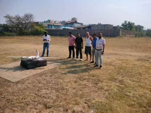
The Survey of India is deploying technologies including drones, LiDAR, Global Navigation Satellite Systems (GNSS) and Geographic Information Systems (GIS) to carry out the work. 102 Continuously Operating Reference Stations (CORS) have been established across Gujarat and Daman and Diu, offering real-time positioning with centimetre-level accuracy to surveyors, engineers, farmers and drone operators. So far, 1,042 users have registered to access the CORS facility.
What the Directorate Said
Siddhant Sen, Director of the Gujarat, Daman and Diu Geospatial Directorate, said the Survey of India — established in 1767 — had played a defining role in the country's geographical mapping for more than two and a half centuries. He noted that the institution began with the Great Trigonometrical Survey, in which surveyors used theodolites to traverse dense forests, deserts and mountainous terrain.
'The Survey of India also contributed to the printing of the original copy of the Constitution of India,' Sen said, adding that accurate geographical information was essential for planned development, particularly as India works towards the Viksit Bharat goal by 2047.
Urban and Infrastructure Projects
Beyond rural mapping, the directorate is supporting urban planning and infrastructure development across the state. Under the AMRUT 2.0 scheme, mapping has been undertaken for 55 cities to support GIS-based development plans covering water supply, sewage systems and green spaces. The directorate is also mapping the Mumbai-Ahmedabad High-Speed Rail corridor for the Town Planning and Valuation Department.
In a project linked to critical national infrastructure, a LiDAR-based survey covering 121 square kilometres at Kakrapar has been completed for the Nuclear Power Corporation of India Limited (NPCIL). Preparations are under way for a follow-on survey covering an additional 183 square kilometres. Separately, mapping of five cities has been completed under the NAKSHA project, a joint initiative of the Union Department of Land Resources and the Gujarat government aimed at modernising urban land records.
Historical Assets and Geodetic Infrastructure
The directorate also maintains significant historical geodetic assets, including a Great Trigonometrical Survey benchmark dating to 1890. Tide-gauge observatories at Vadinar, Porbandar, Okha and Kandla continuously monitor sea-level changes. Horizontal and vertical control points established across Gujarat serve as geographical reference frames for engineers and government agencies working on flood mapping, dam safety assessments, and road and canal planning.
With control point data now available through Geodetic Asset Registers, the directorate's work is expected to underpin a widening range of public projects as Gujarat's infrastructure pipeline expands.
Point of View
Millions of rural households in one of India's most economically dynamic states will have legally defensible property titles, unlocking credit access and reducing land disputes. Yet the headline village count tells only part of the story: the same directorate is simultaneously supporting a high-speed rail corridor, a nuclear facility survey and urban master plans for 55 cities, which speaks to a genuine scaling-up of India's geospatial state capacity. The deeper question is whether the property cards, once issued, feed into a live, updatable land record system or remain a one-time exercise. Past land titling initiatives have stumbled at the mutation and dispute-resolution stage, not the mapping stage.
NationPress
2 Nov 2026
Frequently Asked Questions
What is the SVAMITVA scheme and what has been achieved in Gujarat?
SVAMITVA (Survey of Villages Abadi and Mapping with Improvised Technology in Village Areas) is a Central government scheme that uses drone-based mapping to create accurate land records for rural habitation areas, enabling the issue of legal property cards. The Survey of India has completed mapping in 14,866 villages across Gujarat under this scheme.
Who is overseeing the Gujarat mapping work under SVAMITVA?
The work is being led by the Gujarat, Daman and Diu Geospatial Directorate of the Survey of India, headquartered in Gandhinagar. Siddhant Sen is the Director of the directorate.
What other projects is the Survey of India's Gujarat directorate working on?
The directorate is mapping 55 cities under AMRUT 2.0 for GIS-based urban development plans, surveying the Mumbai-Ahmedabad High-Speed Rail corridor, conducting a LiDAR survey at Kakrapar for the Nuclear Power Corporation of India Limited, and mapping five cities under the NAKSHA project.
What technology is being used for the mapping?
The Survey of India is using drones, LiDAR, Global Navigation Satellite Systems (GNSS) and Geographic Information Systems (GIS). It has also established 102 Continuously Operating Reference Stations (CORS) across Gujarat and Daman and Diu, providing real-time positioning at centimetre-level accuracy.
Why does rural geospatial mapping matter for property rights?
Most rural households in India historically lacked formal legal title to their homestead land, limiting their ability to access institutional credit or resolve ownership disputes. Accurate geospatial mapping under SVAMITVA creates the official record needed to issue legally recognised property documents, addressing this gap.