China-Nepal debris flow hit 19 m/s, too fast for any human to escape
Synopsis
A peer-reviewed CAS study reveals the Gyirong Port debris flow hit 19 m/s — nearly twice Usain Bolt's average record pace — meaning no evacuation on foot was physically possible once the glacier-triggered cascade began.
Key Takeaways
The debris flow struck Gyirong Port , Tibet , at 19 metres per second (62 feet per second) , making human escape on foot impossible.
That speed is almost twice the average velocity Usain Bolt sustained during his 9.58-second 100 m world record in 2009 , and 50% higher than his peak speed.
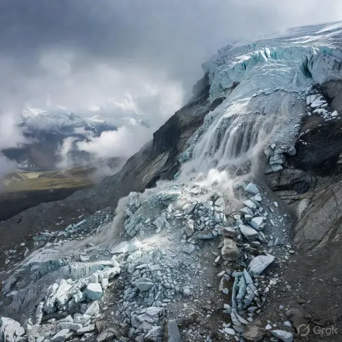
The disaster was triggered by the collapse of a high-altitude glacier in Nepal , cascading from ice avalanche to debris flow, mudslide, and flood in rapid succession.
The study was conducted by the CAS Institute of Mountain Hazards and Environment and published in the journal Yangtze River on Tuesday, 1 September 2026 .
Researchers warn the extremely short warning window demands automated rapid-identification and emergency-alert systems rather than manual response protocols.
The Trishuli River corridor and China-Nepal border infrastructure remain at elevated long-term risk as Himalayan glaciers continue to retreat under climate change .
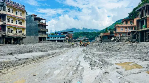
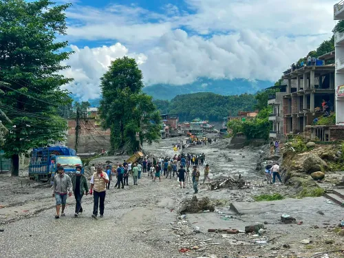
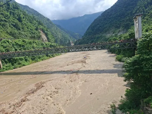
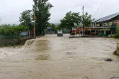
The debris flow that devastated Gyirong Port on the China-Nepal border last week travelled at 19 metres per second — nearly twice the average speed of the world's fastest human — making evacuation on foot physically impossible, according to one of the first peer-reviewed analyses of the disaster.
What the science found
Researchers at the Chinese Academy of Sciences (CAS) Institute of Mountain Hazards and Environment reconstructed the event using digital terrain models and frame-by-frame video analysis. They calculated a surface velocity of 19 metres per second (62 feet per second) at the moment the flow struck the checkpoint at Gyirong Port in Tibet.
For context, that figure is almost twice the average speed that Usain Bolt maintained when he set the 100 metres world record of 9.58 seconds in 2009, and 50 per cent higher than his recorded top speed. In practical terms, no person on the ground could have outrun the flow once it was in motion.
How the disaster unfolded
The study, posted online on Tuesday by the Chinese-language journal Yangtze River, identifies the trigger as the collapse of a high-altitude glacier in Nepal, believed to be linked to Langtang Lirung. What followed was a rapid, cascading sequence of hazards.
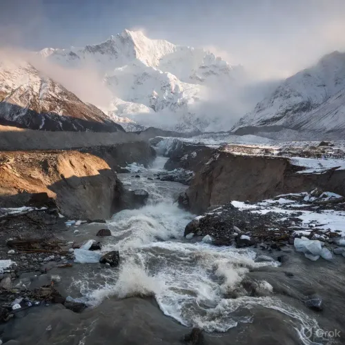
'This disaster involved a continuous transition from ice avalanche to debris flow, then to mudslide and finally to flood,' the CAS team wrote. The chain reaction compressed the available warning window to near zero.
Why it matters
'The time from the occurrence of the ice avalanche to its impact on Gyirong Port was extremely short, and the effective response time was limited, which put forward higher requirements for rapid identification, information transmission and emergency decision-making,' the researchers stated in the paper.
The finding directly challenges the assumption that human response protocols — even well-drilled ones — can compensate for glacial hazards of this speed and scale. Early-warning sensor networks and automated alerts, rather than manual observation, emerge as the only viable mitigation path.
The climate and geography backdrop
The Trishuli River basin and the high-altitude glaciers straddling the Nepal-Tibet frontier have long been flagged by scientists as acutely sensitive to warming temperatures. Glacier retreat increases the likelihood of sudden ice-mass failures, and the Gyirong Port corridor — a key land trade route between the two countries — sits directly in the path of potential outflow channels.
The disaster adds to a growing body of evidence that infrastructure in glacially active mountain corridors faces escalating risk as climate change accelerates ice loss across the Himalayas.
What's next
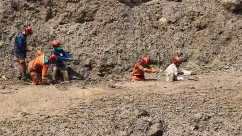
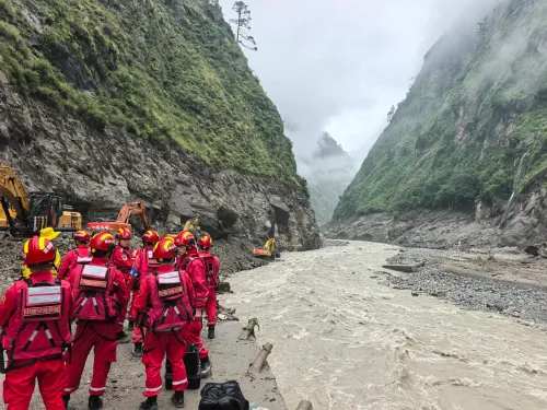
The CAS paper is among the first formal assessments published, and more detailed studies examining the full extent of casualties, infrastructure damage, and long-term river-channel changes along the Trishuli River are expected in the coming weeks. The findings are likely to inform updated hazard-mapping and early-warning investment decisions for the China-Nepal border region.
Point of View
And repeated glacial events could effectively hold that connectivity hostage to climate risk. The real policy question is whether either government will invest in the sensor-to-siren automated warning infrastructure the CAS team implicitly demands — or whether the next disaster will prompt the same retrospective analysis.
NationPress
1 Sept 2026
Frequently Asked Questions
How fast was the China-Nepal debris flow at Gyirong Port?
The debris flow struck Gyirong Port at 19 metres per second (62 feet per second) , according to researchers at the CAS Institute of Mountain Hazards and Environment . That is nearly twice the average speed Usain Bolt maintained during his 100 m world record run in 2009 .
What caused the Gyirong Port flood disaster?
The disaster was triggered by the collapse of a high-altitude glacier in Nepal , reportedly linked to Langtang Lirung . The collapse initiated a chain reaction — ice avalanche, debris flow, mudslide, and flood — that reached Gyirong Port in Tibet within an extremely short time window.
Could people have escaped the China-Nepal debris flow?
No — the CAS study concludes that escape on foot was physically impossible given the flow's speed of 19 m/s . The researchers state that 'the effective response time was limited,' calling for automated rapid-identification and emergency-alert systems rather than manual evacuation protocols.
Who conducted the research on the Gyirong Port debris flow?
The study was carried out by the CAS Institute of Mountain Hazards and Environment , part of the Chinese Academy of Sciences . It was posted online on Tuesday, 1 September 2026 in the Chinese-language journal Yangtze River .
Why are Himalayan glacier disasters increasing?
Climate change is accelerating ice loss across the Himalayas , making sudden glacial collapses more frequent and severe. The Trishuli River basin and the high-altitude glaciers along the Nepal-Tibet frontier are considered especially vulnerable, placing border infrastructure such as Gyirong Port at growing long-term risk.