China radar satellites image Nepal glacier collapse killing 400+
Synopsis
Within hours of a glacier collapse that killed more than 400 people on the China-Nepal border, Beijing Minospace Technology retasked six Dongpo radar satellites to image the disaster zone — one of the most striking demonstrations yet of China's commercial SAR fleet acting as a real-time humanitarian tool.
Key Takeaways
Beijing Minospace Technology retasked six radar satellites , including Dongpo-11 , Dongpo-15 , and Dongpo-19 , within hours of the glacier collapse on Wednesday, 27 August 2026 .
The glacier collapse on the Nepal side of the border triggered a rock and ice avalanche and deadly flash floods, killing more than 400 people and leaving over 1,000 missing across China and Nepal .
The Gyirong Port border checkpoint in Shigatse , western Tibet , sustained severe damage from the disaster.
Radar (SAR) imaging was critical because it can penetrate cloud and haze across the rugged Himalayan plateau , unlike optical satellites.
The National Earth Observation Science Data Centre and analytics firm Huantian Intelligence supported the satellite data operation.
The rapid commercial response highlights the growing role of private space firms in China 's disaster-response infrastructure.
Beijing Minospace Technology redirected six radar satellites within hours of a catastrophic glacier collapse on the China-Nepal border on Wednesday, 27 August 2026, capturing high-resolution imagery of the disaster zone and demonstrating the rapid-response capability of China's commercial space sector in humanitarian crises.
What happened on the ground
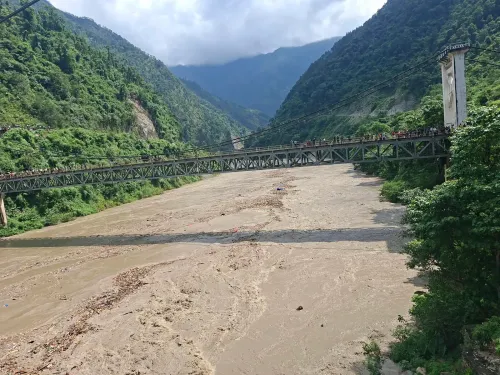
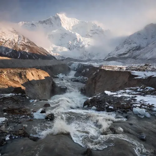
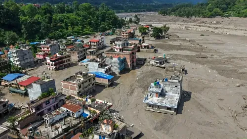
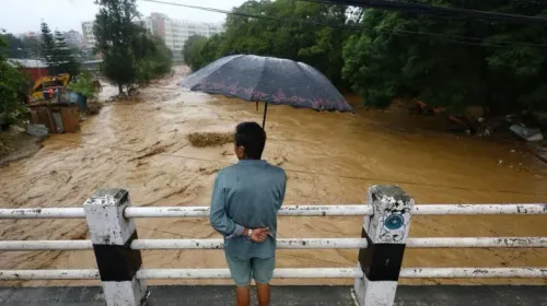
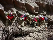
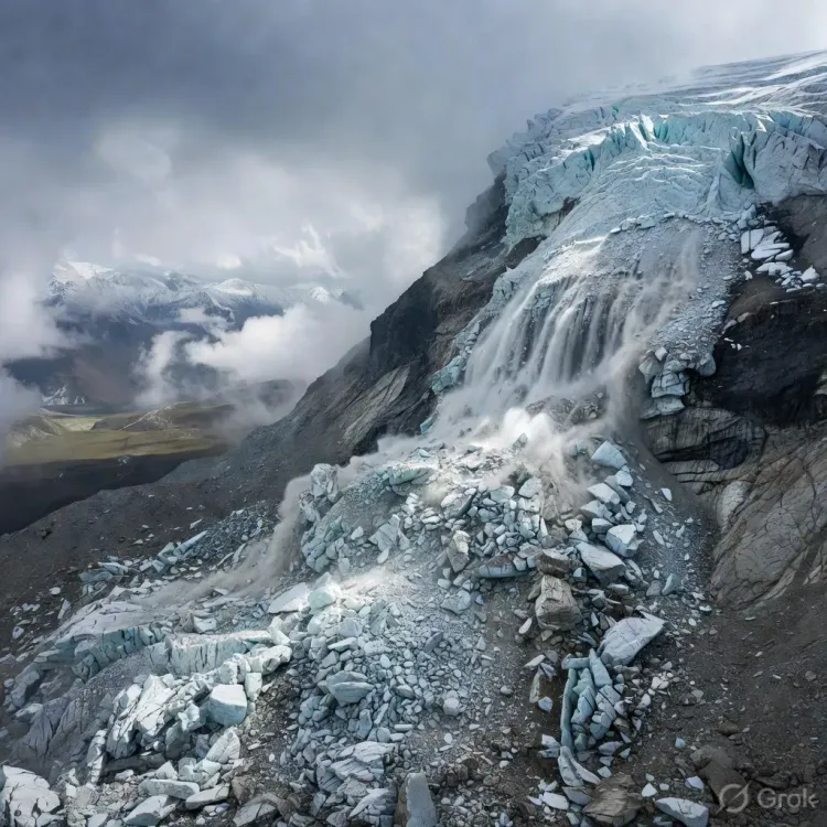
A large section of glacier on the Nepal side of the border broke away, triggering a massive rock and ice avalanche that unleashed deadly flash floods downstream. The surge devastated communities along the China-Nepal border, leaving more than 400 people dead and over a thousand missing across both nations.
The disaster also caused severe damage to the Gyirong Port border checkpoint in Shigatse, in China's western Tibet region — a key land crossing linking the two countries.
Radar advantage in the Himalayas
Satellites deployed included Dongpo-11, Dongpo-15, and Dongpo-19, operated by Beijing Minospace Technology in coordination with data support from the National Earth Observation Science Data Centre and analytics firm Huantian Intelligence. Unlike optical sensors, radar signals penetrate haze and cloud cover, mapping terrain changes with high precision even across the rugged Himalayan plateau.
The imagery revealed the full extent of the collapse site near a remote mountain pass, providing emergency responders with actionable intelligence that would have been impossible to obtain through conventional aerial surveys given the region's persistent cloud cover.
Why it matters: commercial space fills the gap
The swift commercial response underscores a broader trend: China's space surveillance capabilities are rapidly expanding beyond military and government circles to private enterprises capable of operating with greater flexibility and transparency. Companies such as Beijing Minospace Technology are increasingly being called upon to support disaster response, a role traditionally reserved for state-run agencies.
The incident marks one of the most visible demonstrations yet of how commercial synthetic aperture radar (SAR) constellations can be retasked at speed during humanitarian emergencies — a capability that has significant implications for disaster management across Asia-Pacific.
The competitive backdrop
China's commercial satellite sector has been scaling rapidly, with firms racing to build low-Earth orbit constellations that rival those of Western counterparts. The Dongpo series, operated by Beijing Minospace Technology, represents part of a broader push to commercialise SAR imaging that was once the exclusive domain of state agencies such as the National Earth Observation Science Data Centre.
As climate change accelerates glacial instability across the Himalayan plateau, demand for rapid-response Earth observation is expected to grow — and the operators who can retask satellites fastest will hold a decisive advantage in both commercial contracts and government partnerships.
What's next
Rescue and recovery operations remain ongoing across the China-Nepal border region, with the death toll and missing-persons count likely to evolve as access to remote areas improves. The extent of damage to Gyirong Port and its timeline for reopening will be closely watched given its strategic importance to bilateral trade. Analysts will also monitor whether this deployment accelerates procurement of commercial SAR data by regional governments preparing for future glacial hazard events.
Point of View
A development that Western space-industry watchers have largely underestimated. What mainstream coverage misses is the dual-use significance — the same rapid-retasking capability that images a glacier collapse can, in principle, monitor military infrastructure or border activity with equal agility. For neighbouring countries, the humanitarian optics of this response should not obscure the strategic reality that China now fields a commercially operated, high-cadence radar imaging network across the Indo-Pacific. As glacial hazards intensify with climate change, governments across South and Southeast Asia will face a quiet dilemma: accept Chinese commercial satellite data in emergencies, or invest urgently in sovereign alternatives.
NationPress
28 Aug 2026
Frequently Asked Questions
What caused the glacier collapse on the China-Nepal border in August 2026?
A large section of glacier on the Nepal side of the China-Nepal border broke away, triggering a massive rock and ice avalanche that unleashed deadly flash floods downstream. The collapse occurred on Wednesday, 27 August 2026, devastating communities along the border region.
How many people died in the Nepal glacier avalanche and floods?
More than 400 people were killed and over 1,000 were reported missing across both China and Nepal following the glacier collapse and resulting flash floods. The toll was expected to change as rescue teams gained access to remote affected areas.
Which Chinese satellites were used to image the glacier disaster zone?
Beijing Minospace Technology deployed six radar satellites from its Dongpo constellation — including Dongpo-11, Dongpo-15, and Dongpo-19 — to survey the collapse site. The National Earth Observation Science Data Centre and analytics firm Huantian Intelligence provided additional data support.
Why were radar satellites used instead of optical satellites for the Nepal disaster?
Radar (SAR) signals can penetrate cloud cover and haze, making them far more effective than optical sensors in the persistently overcast conditions of the Himalayan plateau. This allowed Beijing Minospace Technology to map terrain changes with high precision even in a remote, cloud-shrouded mountain environment.
What is Gyirong Port and why does its damage matter?
Gyirong Port is a key land border checkpoint in Shigatse, western Tibet, and one of the main official crossing points linking China and Nepal for trade and travel. Its severe damage from the glacier disaster is likely to disrupt bilateral trade flows until repairs are completed, with no reopening timeline confirmed.