IIT Roorkee's INDRA-CMIP6 dataset offers 10-km climate data for India
Synopsis
IIT Roorkee has released INDRA-CMIP6 — India's most granular open-access climate dataset yet, mapping daily rainfall and temperature at 10-km resolution using 14 global models. For a country where coarse global projections routinely miss monsoon extremes and flood hotspots, this could be a genuine planning upgrade for disaster managers and urban planners.
Key Takeaways
IIT Roorkee's Department of Hydrology released the INDRA-CMIP6 open-access climate dataset on Friday, 15 May .
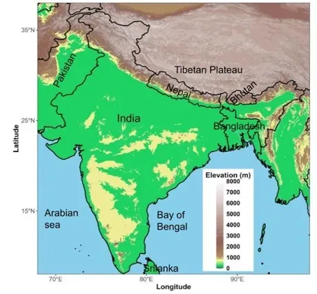
The dataset covers daily precipitation , minimum , and maximum temperature projections at a 0.1° × 0.1° (~10 km) resolution for the Indian subcontinent.
Built using outputs from 14 CMIP6 global climate models via the Double Bias-Corrected Constructed Analogue (DBCCA) statistical downscaling method.
Published in Nature Portfolio's Scientific Data ; includes both individual model outputs and a multi-model ensemble for uncertainty analysis.
Validated to significantly reduce systematic errors in raw global model outputs and improve simulation of extreme rainfall and temperature events .
Aimed at enabling district- and river-basin-level planning for urban drainage , flood preparedness , agriculture , and climate risk assessment .
Researchers at the Indian Institute of Technology (IIT) Roorkee have developed and released INDRA-CMIP6, an open-access, high-resolution climate projection dataset designed to sharpen India's regional climate adaptation, disaster preparedness, and climate risk assessment. The dataset, published in Nature Portfolio's Scientific Data, provides daily rainfall and temperature projections for the Indian subcontinent at a spatial resolution of approximately 10 kilometres.
What INDRA-CMIP6 Contains
The dataset delivers daily projections of precipitation, minimum temperature, and maximum temperature at a 0.1° × 0.1° grid resolution. Crucially, researchers have provided both individual outputs from 14 CMIP6 global climate models and a multi-model ensemble, enabling planners and scientists to compare projections and quantify uncertainty rather than depending on a single climate pathway.
The data was generated using a statistical downscaling technique called Double Bias-Corrected Constructed Analogue (DBCCA), which the team says improves the representation of daily weather variability, regional rainfall distribution, and temperature extremes across the subcontinent.
Why Existing Global Models Fall Short
Conventional global climate models operate at coarse spatial scales that routinely fail to capture India's complex terrain, monsoon dynamics, and localised weather extremes. According to the researchers, adaptation decisions — including urban drainage planning, embankment strengthening, flood preparedness, and climate-resilient agriculture — require projections at the district and river-basin level, not broad continental averages. INDRA-CMIP6 is explicitly designed to fill that gap.
Technical Validation and Key Improvements
Technical validation conducted by the IIT Roorkee Department of Hydrology team showed that INDRA-CMIP6 significantly reduces the systematic errors commonly found in raw global model outputs. The dataset also improves simulation of extreme rainfall events and temperature extremes — variables that are especially critical for regions where local topography, monsoon behaviour, and geography drive the highest climate risks.
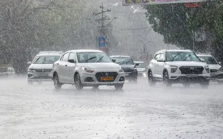
Context: India's Growing Climate Vulnerability
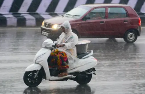
The release comes as India faces intensifying climate impacts, including rising temperatures, erratic monsoon patterns, urban flooding, heat stress, and mounting pressure on water resources. This is precisely the kind of infrastructure — granular, validated, openly accessible — that state governments, disaster management authorities, and urban planners have repeatedly cited as a gap in their preparedness toolkit. With the dataset now publicly available, the next test is whether institutional capacity exists to translate 10-km projections into actionable local policy.
Point of View
But the harder problem is downstream adoption. India's disaster management and urban planning agencies have long cited data granularity as a constraint — yet even when better data exists, institutional capacity to act on it has lagged. The real measure of this dataset's impact will not be its citation count in Scientific Data but whether district collectors and state disaster authorities actually integrate it into preparedness plans. Publishing is the easy part; operationalising 10-km climate projections into local flood embankment or drainage decisions requires a translation layer — trained personnel, standardised workflows, and political will — that no dataset alone can provide.
NationPress
4 Jul 2026
Frequently Asked Questions
What is the INDRA-CMIP6 dataset released by IIT Roorkee?
INDRA-CMIP6 is an open-access, high-resolution climate projection dataset developed by IIT Roorkee's Department of Hydrology. It provides daily rainfall and temperature projections for the Indian subcontinent at a spatial resolution of approximately 10 kilometres, using outputs from 14 CMIP6 global climate models.
Why does India need a high-resolution climate dataset?
Existing global climate models operate at coarse spatial scales that fail to accurately capture India's complex terrain, monsoon systems, and regional weather extremes. District- and river-basin-level projections are essential for practical adaptation measures such as urban drainage planning, flood preparedness, and climate-resilient agriculture.
What downscaling method was used to build INDRA-CMIP6?
The dataset was created using a statistical downscaling technique called Double Bias-Corrected Constructed Analogue (DBCCA). According to the researchers, this method improves the representation of daily weather variability, regional rainfall distribution, and temperature extremes across the Indian subcontinent.
Where has the INDRA-CMIP6 research been published?
The research has been published in Nature Portfolio's Scientific Data journal. The dataset itself is open-access, meaning it is freely available for use by researchers, government agencies, and planners.
Who can use the INDRA-CMIP6 dataset and for what purposes?
The dataset is open-access and intended for use by climate scientists, disaster management authorities, urban planners, and agricultural agencies. It supports applications including flood risk assessment, embankment planning, urban drainage design, and climate-resilient agricultural planning at district and river-basin scales.