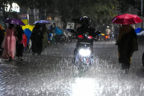
India's July 2026 monsoon beats forecasts, study links shift to climate change

Synopsis
India's July 2026 monsoon outpaced official forecasts — recording 238.2 mm against a predicted below-normal season — and a new Climate Trends study says climate change is the reason why. With El Niño's suppressing effect neutralised by West Pacific warming and a 24-hour rainfall record at Umergam (1,064 mm, third highest since 1901), the findings raise urgent questions about the reliability of seasonal monsoon forecasting models.
Key Takeaways
India received 238.2 mm of rainfall between 1–26 July 2026 , above the normal 233.9 mm , despite IMD forecasting a below-normal July.
A nationwide rainfall deficit of 40 per cent on 30 June narrowed to 16 per cent by 29 July .
Umergam, Gujarat recorded 1,064 mm of rain in 24 hours — the third highest single-day total in India since 1901 .
Former IMD Director General K.J.
Ramesh attributed July's vigour to West Pacific warming neutralising El Niño's suppressing effect.
17 states remain rainfall-deficient, covering 36 per cent of India's area, while East and Northeast India face a 30 per cent shortfall.
Researchers say climate change — not IOD or MJO, both of which are inactive — is increasingly driving monsoon variability.
India's July 2026 monsoon defied official predictions of a below-normal season, recording 238.2 mm of rainfall between 1 July and 26 July against a normal of 233.9 mm, according to a new study by Climate Trends released on 31 July. The findings highlight how climate change and evolving ocean–atmosphere dynamics are making the subcontinent's monsoon increasingly difficult to forecast.
How July Defied the Forecast
The India Meteorological Department (IMD) had projected below-normal July rainfall at less than 94 per cent of the Long Period Average (LPA) of 280.4 mm. Instead, the month turned significantly wetter than anticipated. A nationwide rainfall deficit of 40 per cent recorded as on 30 June narrowed sharply to 16 per cent by 29 July, reflecting an accelerated recovery driven by back-to-back monsoon systems.
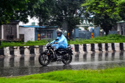
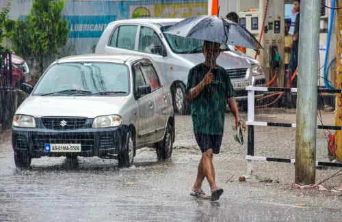
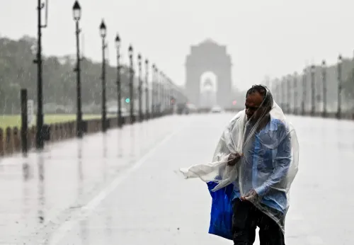
Heavy to extremely heavy rainfall battered Maharashtra, Gujarat, Assam, Odisha, Jammu and Kashmir, and Himachal Pradesh. Fifteen states recorded normal rainfall, four reported excess to large excess — covering 60 per cent of the country's area — while 17 states remained deficient, accounting for 36 per cent of the area.
Regional Rainfall Picture
According to IMD data, Northwest India and Central India are currently in the normal category, with deficits of 10 per cent and 1 per cent respectively. East and Northeast India face a steeper 30 per cent deficiency, while the South Peninsula records a 26 per cent shortfall — underscoring that the recovery has been geographically uneven.
What Experts Say About Climate Change's Role
Former IMD Director General K.J. Ramesh noted that warming of the West Pacific offset El Niño's suppressing potential during July 2026. He explained that three cyclonic circulations pushed through Myanmar and re-intensified in the Bay of Bengal, keeping the monsoon vigorous. Increased western disturbances simultaneously brought heavy rains to Maharashtra and Gujarat, while triggering floods in Assam.
Akshay Deoras, Research Scientist at the National Centre for Atmospheric Science, University of Reading, Britain, described the monsoon's performance in an El Niño year as surprising. He pointed to a record-scale event: Umergam in Valsad, Gujarat, recorded 1,064 mm of rainfall in 24 hours last week — the third highest single-station daily total in India since 1901.
Deoras noted that monsoon behaviour is shaped by internal low-pressure systems and external drivers such as the Indian Ocean Dipole (IOD) and the Madden–Julian Oscillation (MJO). Crucially, neither the IOD nor the MJO is currently in a positive phase. 'While IOD and MJO are not in positive phases, the monsoon seems to be driving on its own, and this is where the role of climate change cannot be ruled out,' he said.
Why This Matters for Forecasting
This comes amid a broader pattern of monsoon unpredictability that has tested the limits of seasonal forecasting models. The 2026 season is at least the second consecutive year in which pre-season IMD outlooks have required significant mid-season revision. Scientists argue that as sea-surface temperatures in the Indian and Pacific Oceans shift in ways not fully captured by existing models, forecast lead times for extreme rainfall events are shrinking — with direct consequences for disaster preparedness across flood-prone states.
Point of View
And when neither the IOD nor the MJO is active yet the monsoon still surges, it suggests existing forecasting frameworks are working with incomplete variables. The Umergam record — 1,064 mm in 24 hours, third highest since 1901 — is not an outlier to be noted and moved on from; it is a data point in an accelerating trend. India's disaster-response architecture is calibrated to historical normals. If those normals are now structurally shifting, the preparedness gap is widening every season.
NationPress
14 Sept 2026
Frequently Asked Questions
Why did India's July 2026 monsoon exceed forecasts?
India received 238.2 mm of rainfall between 1 and 26 July 2026, surpassing the normal 233.9 mm, despite IMD projecting a below-normal month. Researchers at Climate Trends attribute the reversal to West Pacific warming neutralising El Niño's suppressing effect, combined with back-to-back cyclonic circulations in the Bay of Bengal.
What is the significance of the Umergam rainfall record?
Umergam in Valsad, Gujarat, recorded 1,064 mm of rainfall in a single 24-hour period last week — the third highest daily total at any station in India since 1901. The event underscores the intensification of extreme rainfall episodes that scientists link to climate change.
Which regions of India still face a rainfall deficit?
As of late July 2026, East and Northeast India carry a 30 per cent deficit and the South Peninsula a 26 per cent shortfall, according to IMD data. Seventeen states in total remain deficient, covering 36 per cent of the country's area.
How does climate change affect India's monsoon predictability?
According to researchers cited in the Climate Trends study, climate change is amplifying internal monsoon drivers in ways that existing seasonal models do not fully capture. When external regulators like the IOD and MJO are inactive, the monsoon appears to be 'driving on its own,' making accurate long-range forecasts harder to produce.
What was India's overall rainfall deficit before July's recovery?
India entered July 2026 with a nationwide rainfall deficit of 40 per cent as on 30 June. By 29 July, that deficit had narrowed to 16 per cent, driven by heavy and extremely heavy rainfall across Maharashtra, Gujarat, Assam, Odisha, Jammu and Kashmir, and Himachal Pradesh.