Will J&K Experience Heavy Snowfall Between January 20-24?

Synopsis
Residents of Jammu and Kashmir are hopeful as the Meteorological Department predicts significant snowfall due between January 20-24. With the Chillai Kalan period ongoing, this weather change could be crucial for the region's water supply and upcoming summer prospects.
Key Takeaways
Three Western Disturbances are set to impact Jammu and Kashmir.
The second disturbance will occur between January 18-20.
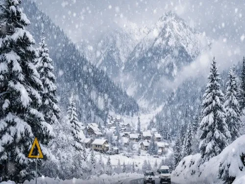
The third disturbance is expected from January 20-24, bringing potential heavy snowfall.
Current temperatures are low, with Srinagar at minus 1.5°C.
The region's water reservoirs need replenishment to avoid summer droughts.
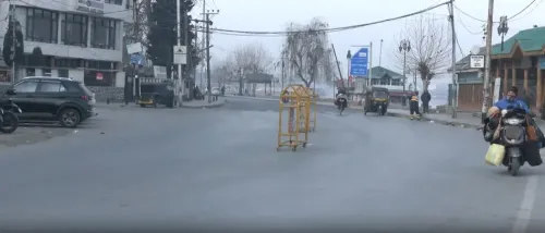
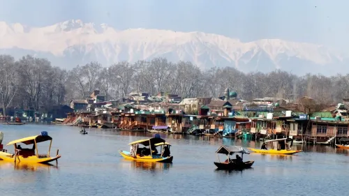
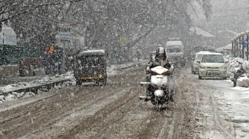
Srinagar, Jan 16 (NationPress) The minimum temperature across Jammu and Kashmir saw an improvement on Friday, credited to a night filled with continuous cloud cover. The Meteorological (MeT) office reported that three successive Western Disturbances are anticipated to bring rain and snow to the region.
Sonam Lotus, the Director of the Ladakh MeT Department, informed IANS, “Three Western Disturbances are expected to become active over J&K from January 16 to January 24. The initial disturbance is weak and currently affecting J&K and Ladakh, likely bringing some rain/snow to higher altitudes, while the plains are less likely to see precipitation.”
“The second Western Disturbance is projected to activate between January 18 and January 20, which may lead to rain and snow, but again mostly in the higher regions, with minimal impact on the plains. The third and final Western Disturbance will be impactful from the afternoon of January 20 to late January 24, expected to bring moderate to heavy snowfall to both the higher reaches and the plains of the Valley,” he elaborated.
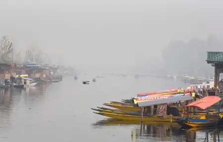
Lotus's reassuring statement has brought relief to the residents of J&K, as Srinagar and surrounding plains have yet to experience their first snowfall of the season.
The harsh winter phase locally known as ‘Chillai Kalan’ commenced on December 21 and will continue until January 30.
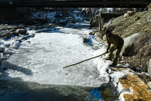
With only 14 days remaining in this period, vital water reservoirs that feed J&K's water bodies have not yet been replenished. If Chillai Kalan concludes without significant snowfall, the region may face one of its most challenging summers.
Srinagar recorded a minimum temperature of minus 1.5 degrees Celsius, while Gulmarg and Pahalgam reported minus 2.3 and minus 2.6 degrees Celsius, respectively. In Jammu, the temperatures were milder, with Jammu city at 4.7 degrees Celsius, Katra at 8.8, Batote at 7.7, Banihal at 2.9, and Bhaderwah at 2 degrees Celsius.
Point of View
It is paramount to keep the public informed about weather patterns that could significantly impact life in Jammu and Kashmir. The predicted snowfall could have both immediate and long-term effects on the region, particularly concerning water resources and agricultural prospects. Clear communication is essential during such critical weather events.
NationPress
29 Jun 2026
Frequently Asked Questions
What are Western Disturbances?
Western Disturbances are weather systems originating in the Mediterranean that bring moisture and precipitation to the Indian subcontinent, particularly affecting the Himalayas.
How does the Chillai Kalan affect Jammu and Kashmir?
Chillai Kalan is a 40-day period of harsh winter in Kashmir, marked by significant snowfall, which is vital for replenishing water reservoirs.
What temperatures are expected during this period?
Minimum temperatures in the region vary, with Srinagar at minus 1.5°C, and higher altitudes like Gulmarg and Pahalgam experiencing even lower temperatures.
Why is this snowfall important?
The snowfall is crucial as it replenishes water sources that sustain agriculture and drinking water supplies in Jammu and Kashmir, especially before the summer months.
What should residents do to prepare?
Residents are advised to stay updated on weather forecasts, prepare for potential disruptions, and ensure adequate supplies in case of heavy snowfall.