Will Rajnath Singh Inaugurate Defence Estates Day Celebrations Tomorrow?
Synopsis
Join us for the Defence Estates Day celebrations where Defence Minister Rajnath Singh will unveil insights into modern land management. This milestone event not only marks a century of service but also highlights achievements in digital transformation and sustainability.
Key Takeaways
Defence Estates Day celebrates 100 years of the Defence Estates Department.
Rajnath Singh will discuss advancements in digital land management .
Awards will recognize excellence in municipal services.
The Department has embraced modern technology for land management.
The E-Chhawani project serves 20 lakh residents online.
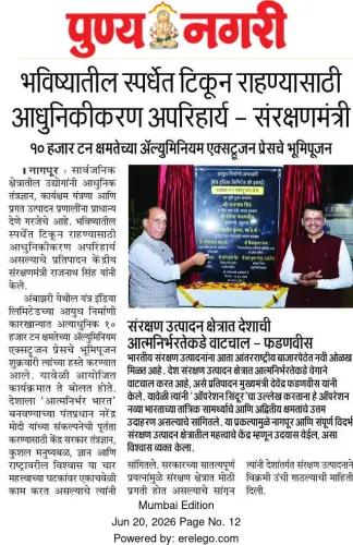
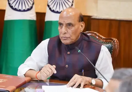
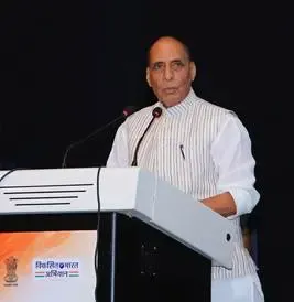
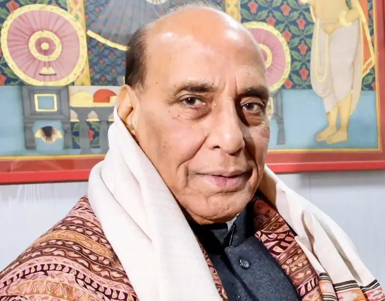
New Delhi, Dec 15 (NationPress) Defence Minister Rajnath Singh is expected to express his insights on digital and technology-driven land management during the Defence Estates Day celebrations at Delhi Cantonment on December 16, according to an official announcement.
During the event, he will also present the Raksha Mantri Awards for Excellence in public service related to Defence Land Management and Municipal Administration for 61 Cantonment Boards across the nation, as stated in a release on Monday.
This year's festivities, held at Raksha Sampada Bhawan, are particularly noteworthy as the Department marks its 100th anniversary, honoring a legacy that began in 1765 with the establishment of the first Cantonment in Barrackpore, West Bengal.
Over the following century and a half, several cantonments, including Danapur (1766), Meerut (1803), Ambala (1843), and Delhi (1915), were established, forming the bedrock of Defence and Land Administration in India. The Department was formalized on December 16, 1926, as the Department of Land and Cantonments under the Ministry of Defence.
Today, the Defence Estates Department oversees the largest landholding of the Government of India within the Ministry of Defence. While rich in history, the Department has embarked on a remarkable modernization journey, evolving into a leader in digital and technology-driven land management.
It has successfully launched the E-Chhawani project, offering full municipal services online to 20 lakh Cantonment residents.
The Department's commitment to water conservation and the revitalization of water bodies has been recognized nationally, earning it the National Water Awards for Jal Sanchay Jan Bhagidari.
It has also digitized legacy land records thoroughly, ensuring their protection for the future.
The entire file management system has been upgraded with the nationwide implementation of a secure, technology-driven file management system, allowing for easy retrieval and safe storage.
A centralized software platform, ‘Raksha Bhoomi’, hosted on secure servers, now acts as the single repository for all defence land records.
The Department has cultivated expertise in Land Survey through extensive use of Continuously Operating Reference Stations-enabled Differential Global Positioning System, Geographic Information System-based tools, and high-resolution satellite imagery to enhance precision.
A Centre of Excellence on Satellite and Unmanned Remote Vehicle Initiative, harnessing Artificial Intelligence/Machine Learning and emerging technologies, aims to develop next-generation solutions for defence land management.
Point of View
The Defence Estates Day celebrations represent a significant step towards embracing modernity in land management, reflecting the government's commitment to enhancing efficiency and sustainability in Defence operations. The advancements in technology and recognition of public service excellence indicate a proactive approach in addressing contemporary challenges.
NationPress
3 Jul 2026
Frequently Asked Questions
What is Defence Estates Day?
Defence Estates Day commemorates the establishment of the Defence Estates Department, focusing on advancements in land management and municipal services.
When is Defence Estates Day celebrated?
Defence Estates Day is celebrated annually on December 16.
What is the significance of this year's celebrations?
This year marks the 100th anniversary of the Defence Estates Department, highlighting its historical legacy and modernization efforts.
Who will present the Raksha Mantri Awards?
Defence Minister Rajnath Singh will present the Raksha Mantri Awards for Excellence during the celebrations.
What is the E-Chhawani project?
The E-Chhawani project provides online municipal services to Cantonment residents, showcasing the Department's commitment to digital transformation.