Brahmaputra mega dam: China's 'water bomb' alarms India and Bangladesh
Synopsis
China's own geologists have flagged 'loose structure and weak cohesion' at the Brahmaputra mega dam site in Tibet — a seismically volatile zone. If the dam fails or water is released after an earthquake, the flood wave could reach Bangladesh with little warning. Beijing's pattern of withholding hydrological data and refusing water treaties makes the downstream risk for India and Bangladesh not just geological, but geopolitical.
Key Takeaways
China is building an unprecedented hydropower dam on the Yarlung Tsangpo (Brahmaputra) in Tibet , near the India border.
A paper in a Beijing -linked journal warns the site has 'loose structure and weak cohesion,' with earthquake risk threatening reservoir stability.
Brahma Chellaney , Professor Emeritus at the Centre for Policy Research, New Delhi , says China's own scientists are sounding the alarm that its political leadership has not publicly acknowledged.
A structural failure or emergency water release could trigger catastrophic floods across densely populated plains in northeastern India and Bangladesh .
Critics argue China is using control of the Tibetan Plateau — source of most of Asia's major rivers — as strategic leverage, withholding hydrological data and resisting water-sharing treaties.
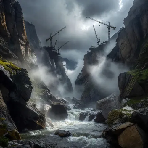
China is constructing an unprecedented hydropower project on the Yarlung Tsangpo — known internationally as the Brahmaputra — in Tibet, near the heavily militarised border with India, raising grave concerns about downstream consequences for millions of people across South Asia. A recent analysis warns the project could function as a 'potential water bomb' threatening northeastern India and Bangladesh.
What China Is Building
The dam is situated in the Himalayan seismic belt, one of the world's most earthquake-prone zones, with a documented history of catastrophic tremors. The scale of the project is described as unprecedented in global hydropower terms, dwarfing comparable installations on other transboundary rivers.
Critically, the alarm is not coming solely from foreign observers. A recent paper published in a Beijing-linked, Mandarin-language journal — 'Sedimentary Geology and Tethyan Geology' — has flagged serious geological risks at the construction site itself.
China's Own Scientists Sound the Alarm
Brahma Chellaney, Professor Emeritus of Strategic Studies at the New Delhi-based Centre for Policy Research, writing in 'Project Syndicate', cited the Chinese geologists' findings in detail. According to Chellaney, the geologists conclude that the terrain has a 'loose structure and weak cohesion' and warn that fault movement or an earthquake could easily trigger large-scale instability, threatening both the reservoir and surrounding infrastructure.
The authors of the paper reportedly recommend reinforcing the reservoir slopes, installing retaining structures, and redesigning key elements to reduce the risk of catastrophe. Chellaney noted: 'When scientists working under a communist regime issue such warnings, the international community must pay attention.'
The Downstream Threat to India and Bangladesh
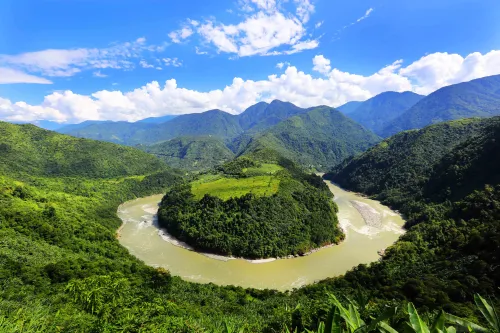
For northeastern India, the Brahmaputra is a vital lifeline, sustaining agriculture, fisheries, wetlands and millions of livelihoods. The river then flows into Bangladesh, where it serves as the single largest source of freshwater.
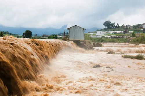
According to the analysis, a catastrophic structural failure — or even an emergency release of impounded water following seismic damage — could unleash devastating floods across densely populated downstream plains with little warning. As Chellaney wrote: 'What begins as an engineering failure in Tibet could become a humanitarian catastrophe extending all the way to Bangladesh, the world's most densely populated country outside microstates and mini-states.'
Much like China's large-scale dam projects on the Mekong, the super-dam could alter transboundary flows and restrict the downstream movement of nutrient-rich sediment that sustains river ecosystems and farmland across riparian nations.
Water as Strategic Leverage
The report underscores that the geological danger is only part of a larger strategic picture. China, it argues, is increasingly transforming its control of the Tibetan Plateau — the source of most of Asia's major rivers — into geopolitical leverage. Beijing has reportedly built cascades of dams on transboundary rivers, withheld hydrological data during periods of tension, and resisted entering any water-sharing treaty with downstream states.
'Water has become another instrument of coercive statecraft,' the analysis states, drawing a direct parallel with China's conduct on the Mekong, where downstream nations including Vietnam, Thailand, and Cambodia have repeatedly raised concerns about unilateral dam operations.
What Needs to Happen Next
The report calls on Beijing to prioritise transparency and formally acknowledge its transboundary responsibilities before the 'potential water bomb' takes shape upstream. It argues that the fact China's own scientific community appears to have a clearer grasp of the project's dangers than its political leadership is willing to admit makes the case for international scrutiny even more urgent. Downstream governments, including India and Bangladesh, are expected to continue pressing for real-time hydrological data sharing as diplomatic leverage builds.
Point of View
Between scientific candour and political silence, is precisely what makes the downstream risk credible and urgent. India has long sought real-time hydrological data from China on the Brahmaputra; Beijing has consistently refused, using data as leverage during bilateral tensions. The Mekong precedent is instructive: China's upstream dams have repeatedly altered flow regimes to the detriment of Southeast Asian nations, with no binding accountability. South Asia could be next, and the consequences — given Bangladesh's population density and northeastern India's flood vulnerability — would be of a different order of magnitude entirely.
NationPress
1 Sept 2026
Frequently Asked Questions
What is China's mega dam on the Brahmaputra and where is it located?
China is constructing an unprecedented hydropower project on the Yarlung Tsangpo — internationally known as the Brahmaputra — in Tibet, near the heavily militarised border with India. The dam sits within the Himalayan seismic belt, one of the world's most earthquake-prone regions.
Why are China's own scientists raising concerns about the dam?
A paper published in a Beijing-linked, Mandarin-language journal 'Sedimentary Geology and Tethyan Geology' concluded that the construction site has a 'loose structure and weak cohesion,' warning that fault movement or an earthquake could trigger large-scale instability. The authors recommended reinforcing slopes, installing retaining structures, and redesigning key elements to reduce catastrophe risk.
How could the dam affect India and Bangladesh?
A structural failure or emergency release of impounded water after seismic damage could unleash devastating floods across densely populated downstream plains with little warning. The Brahmaputra is a vital lifeline for northeastern India's agriculture and fisheries, and the single largest freshwater source for Bangladesh.
Is China sharing water data with downstream countries?
According to the analysis, China has a pattern of withholding hydrological data during periods of bilateral tension and has resisted entering any water-sharing treaty with downstream states. Critics argue Beijing is using control of the Tibetan Plateau — the source of most of Asia's major rivers — as strategic geopolitical leverage.
How does this compare to China's dams on the Mekong?
Analysts draw a direct parallel with China's cascade of dams on the Mekong, which have been linked to altered transboundary flows and restricted downstream sediment movement, harming river ecosystems and farmland in Vietnam, Thailand, and Cambodia. The Brahmaputra project is described as potentially replicating and exceeding those impacts.