Assam CMO: Rescue ops underway in flood-hit Sivasagar
Synopsis
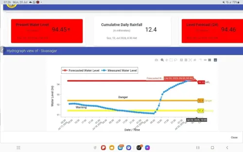
The Chief Minister's Office of Assam confirmed on 20 July 2026 that rescue and relief operations are underway across flood-hit Sivasagar district, including along the Charing-Baruvati National Highway, as monsoon inundation affects communities and road connectivity in eastern Assam.
Key Takeaways
The Chief Minister's Office of Assam confirmed active rescue and relief operations in Sivasagar district on 20 July 2026 .
Operations are underway along the Charing–Baruvati National Highway , a key arterial route frequently submerged during monsoon flooding.
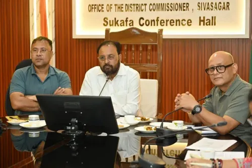
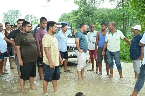
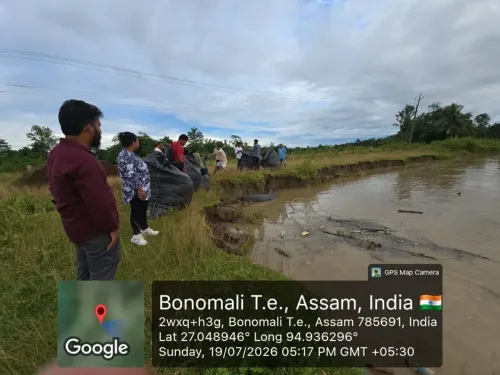
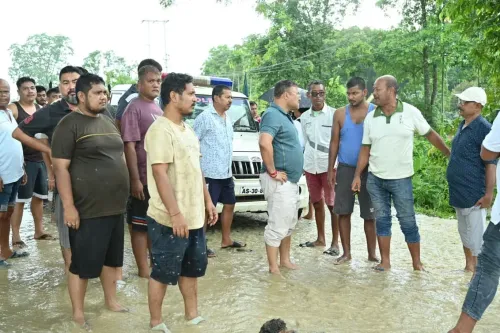
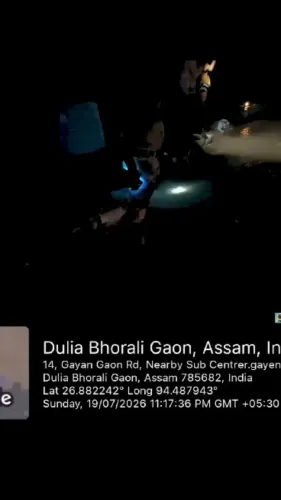
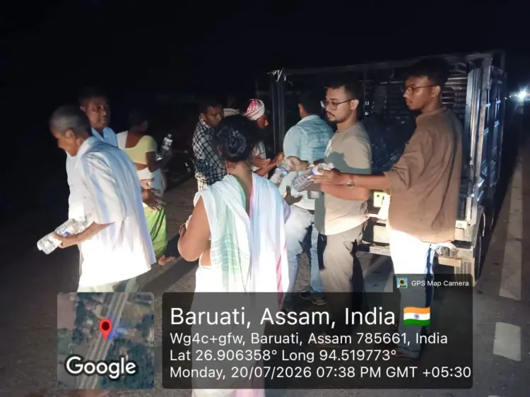
The post was accompanied by four images showing on-ground relief activity.
SDRF and NDRF teams are part of Assam's standing disaster-response framework activated during annual Brahmaputra-basin floods.
District-wise damage assessments and potential requests for central assistance are expected as the monsoon season continues.
The Chief Minister's Office of Assam confirmed on Monday, 20 July 2026 that rescue and relief operations are actively underway across flood-affected Sivasagar district, including along the Charing–Baruvati National Highway.
Context
Sivasagar, located in eastern Assam, is among the districts most vulnerable to annual monsoon inundation caused by the overflowing of Brahmaputra tributaries. The district carries deep historical significance as the seat of the Ahom kingdom, but its low-lying terrain makes it a perennial flood zone. The Chief Minister's Office shared four images alongside the post, indicating on-ground deployment of relief personnel.
Policy Backdrop
The Government of Assam maintains standing disaster-response protocols for the monsoon season, involving pre-positioned State Disaster Response Force (SDRF) and National Disaster Response Force (NDRF) teams alongside district-level control rooms. Assam's flood management framework has evolved over successive administrations to enable faster mobilisation once inundation crosses threshold levels. National highways in the region are treated as critical lifelines, and their submergence typically triggers immediate coordination between state and central agencies.
The Charing–Baruvati National Highway passing through Sivasagar district is a key arterial route that is frequently submerged during seasonal floods, severing connectivity for communities dependent on it for essential supplies and emergency access.
Stakeholders and Impact
Flood-affected residents of Sivasagar are the most immediate stakeholders, facing displacement, loss of agricultural land, and disruption to daily life. Highway users and transporters face significant delays and route diversions as the Charing–Baruvati National Highway remains affected. Farmers in the region risk crop damage at a critical point in the agricultural calendar, compounding economic stress on rural households.
The broader Brahmaputra basin flooding pattern means that neighbouring districts may face similar conditions, placing additional pressure on state relief infrastructure. District administration and emergency responders are coordinating to reach marooned communities and ensure the delivery of essential supplies.
What's Next
District-wise damage assessments are expected to follow as waters recede, with the state government likely to compile reports for potential central assistance requests. The remainder of the 2026 monsoon season will determine the scale of relief and rehabilitation required across Sivasagar and other flood-prone districts. Restoration of the Charing–Baruvati National Highway will be a priority to re-establish connectivity and enable faster movement of relief material.
Point of View
Real-time accountability during a flood emergency — a pattern that has become standard practice for Assam's disaster communications in recent years. The specific mention of the Charing–Baruvati National Highway underscores that highway connectivity, not just human displacement, is being treated as a crisis metric. Assam's recurring flood vulnerability continues to test the limits of pre-positioned response infrastructure, and the scale of central assistance eventually sought will be a key indicator of how severely this monsoon season has hit the district. How swiftly damage assessments translate into rehabilitation packages will shape the political narrative around the state's disaster governance ahead of the remainder of the monsoon.
NationPress
21 Jul 2026
Frequently Asked Questions
Which areas in Assam are affected by floods in July 2026?
Sivasagar district in eastern Assam has been confirmed as flood-affected, with rescue and relief operations underway including along the Charing–Baruvati National Highway , as announced by the Chief Minister's Office on 20 July 2026 .
What is the Charing–Baruvati National Highway?
The Charing–Baruvati National Highway is a section of national highway passing through Sivasagar district in Assam. It is a critical regional connectivity route that is frequently submerged during the monsoon season, disrupting movement of people and goods.
Who is coordinating flood relief in Sivasagar?
The Government of Assam , through the Chief Minister's Office, is coordinating relief operations. State and national disaster response forces — SDRF and NDRF — along with district administration are part of the standing response framework deployed during annual Assam floods.
Why does Sivasagar flood every year?
Sivasagar lies in the Brahmaputra basin in eastern Assam, a region characterised by low-lying terrain and rivers that regularly overflow during the monsoon season. Annual inundation of agricultural land, roads, and settlements is a well-established pattern in the district.
What happens after floods recede in Assam?
After waters recede, the Government of Assam typically conducts district-wise damage assessments and may request additional assistance from the central government. Restoration of national highways and rehabilitation of displaced residents are among the immediate priorities.