Cabinet Clears 4-Lane Guwahati–Tezpur Corridor on NH-15

Synopsis
The Union Cabinet has approved a 4-lane access-controlled corridor on National Highway 15 between Guwahati and Tezpur in Assam, a move that promises to cut travel times and reduce logistics costs across the Brahmaputra valley under the Bharatmala Pariyojana framework.
Key Takeaways
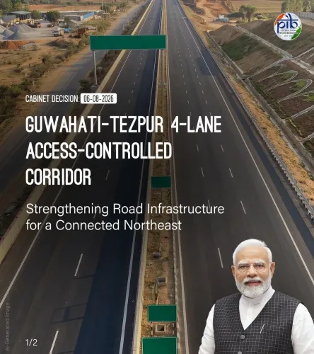
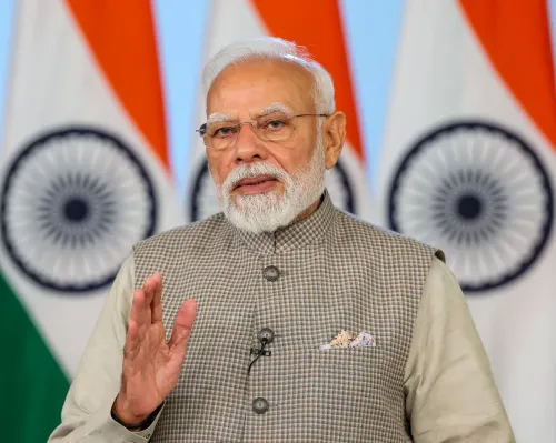
The Union Cabinet , chaired by PM Narendra Modi , approved the 4-lane access-controlled Guwahati–Tezpur Corridor on National Highway 15 .
Guwahati (Assam's commercial hub) and Tezpur (Sonitpur district) are the two termini of the approved corridor.
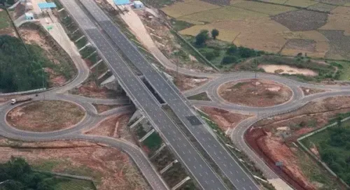
Access-controlled design means controlled entry/exit points and no cross-traffic — a significant upgrade over the existing mixed-use highway.
The project fits within the Bharatmala Pariyojana framework launched in 2015 to modernise national highways with a Northeast focus.
Next steps include release of the detailed project report, land acquisition, and state-central coordination on implementation.
The Chief Minister's Office of Assam announced the Cabinet decision on 7 August 2026 .
A highway that has long bottlenecked Assam's Brahmaputra valley economy just got a major upgrade on paper. The Union Cabinet, chaired by Prime Minister Narendra Modi, has approved the construction of a 4-lane access-controlled corridor on National Highway 15 connecting Guwahati and Tezpur — a route that threads through the heart of Assam's most densely populated and economically active belt.
What the Guwahati–Tezpur Corridor actually means
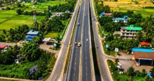
The approved corridor links Guwahati — Assam's largest city and commercial nerve centre — to Tezpur, the administrative seat of Sonitpur district roughly 180 kilometres to the northeast. Today, the drive on the existing highway is a crawl through towns, traffic signals, and mixed-use roads. An access-controlled 4-lane expressway changes that calculus entirely: controlled entry and exit points, no cross-traffic, higher speed limits. Commuters and freight movers stand to gain the most.
For Northeast traders, this is not a small convenience — it is a structural shift. Goods moving between Guwahati's warehouses and the tea gardens, agri-markets, and military supply chains of upper Assam have long paid a hidden tax in time and fuel on this corridor. A modern, access-controlled highway compresses that cost.
NH-15 and the Bharatmala backbone
National Highway 15 forms part of the national network knitting together the Brahmaputra valley. The broader policy frame here is Bharatmala Pariyojana, launched in 2015, which placed Northeast connectivity at the centre of India's highway modernisation push. Successive central governments have treated road upgrades in Assam not merely as infrastructure but as strategic integration — reducing the region's dependence on a single rail corridor and opening it to faster road-based commerce.
The 4-laning and access-control specification signals this is not a routine widening job. Access-controlled corridors require land acquisition at a different scale, service road networks, and interchanges — the kind of civil engineering that takes years from approval to ribbon-cutting.
What comes next on the ground
Cabinet approval is the political green light, but the clock on implementation starts with the detailed project report, land acquisition proceedings under the relevant highway authority, and state-central coordination on ground clearances. Assam's terrain — riverine, flood-prone, and ecologically sensitive in stretches — adds complexity that project planners will have to price in from the outset.
The Chief Minister's Office of Assam flagged the Cabinet decision on 7 August 2026, signalling that the state government is treating this as a headline achievement worth amplifying. That political ownership matters: state cooperation on land acquisition is often the single biggest variable in whether a highway project stays on schedule or stalls for years.
One Cabinet nod does not build a road. But it does start the clock — and for Assam's Brahmaputra valley, that clock has been a long time coming.
Point of View
It gives both the BJP-led Centre and the Assam state government a tangible deliverable ahead of any electoral cycle. The harder test, however, is execution: Assam's flood-prone, riverine terrain has historically turned approved highway projects into multi-year land acquisition battles, and the access-controlled specification raises the engineering and financial bar considerably. If the project moves from approval to ground-breaking within a credible timeline, it will strengthen the Bharatmala narrative in the Northeast; if it stalls, it risks becoming another line item on a list of announced-but-unbuilt corridors.
NationPress
7 Aug 2026
Frequently Asked Questions
What is the Guwahati–Tezpur Corridor approved by the Union Cabinet?
It is a proposed 4-lane, access-controlled highway on National Highway 15 in Assam, connecting Guwahati — the state's largest city — to Tezpur in Sonitpur district. The Union Cabinet under PM Narendra Modi approved the project on 7 August 2026.
What does 'access-controlled' mean for the Guwahati–Tezpur highway?
An access-controlled highway has designated entry and exit points (interchanges), no at-grade crossings or roadside access, and is designed for higher speeds. This eliminates the stop-and-go traffic typical of existing national highways passing through towns.
Which national highway does the Guwahati–Tezpur Corridor fall under?
The corridor falls under National Highway 15, which runs through the Brahmaputra valley in Assam and forms part of the national highway network in the Northeast.
How does this project relate to Bharatmala Pariyojana?
Bharatmala Pariyojana, launched in 2015, is the central government's flagship highway development programme with a specific focus on the Northeastern region. The Guwahati–Tezpur 4-laning fits within this broader framework of upgrading key arterial routes.
What are the next steps after Cabinet approval of the Guwahati–Tezpur highway?
The immediate next steps include finalising the detailed project report, initiating land acquisition under highway authority procedures, and coordinating between the Assam state government and the central highway ministry on ground-level clearances.