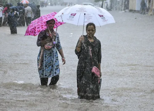
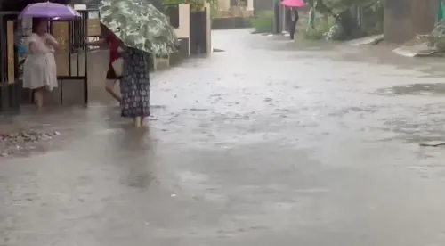
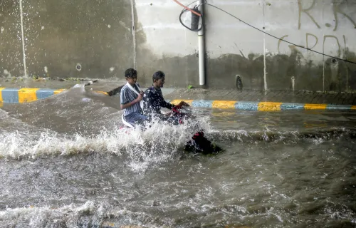
Gujarat runs 24/7 flood control network across 207 reservoirs this monsoon
Synopsis
Gujarat has quietly built one of India's most layered reservoir surveillance systems — 207 dams tracked around the clock, 413 wireless sets, satellite phones at 14 major reservoirs, and digital flood inundation maps. As climate-driven extreme rainfall becomes the new normal, this infrastructure reveals how seriously the state is treating monsoon risk management in 2024.
Key Takeaways
Gujarat's Water Resources Department is monitoring 207 reservoirs — 18 major , 86 medium , 103 minor — around the clock during the 2024 monsoon .
A Central Flood Control Unit in Gandhinagar is supported by 12 regional units across the state, all operating 24/7 .
413 wireless sets are operational; 14 major reservoirs have been equipped with satellite phones .
Water level data for major dams is updated every hour ; full status reports are issued at 8 a.m. and 4 p.m. daily.
The Geospatial Cell has prepared digital flood inundation maps to identify vulnerable areas before emergencies arise.
The network is overseen by Minister of State Ishwarsinh Patel and staffed in three shifts by engineers and support personnel.
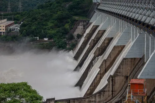
Gujarat's Water Resources Department is operating a round-the-clock Central Flood Control Unit in Gandhinagar, backed by 12 regional control units, to continuously monitor water levels, inflows, outflows, and rainfall across 207 reservoirs in the state during the 2024 monsoon season. The technology-driven network covers 18 major, 86 medium, and 103 minor reservoirs, including the Sardar Sarovar Reservoir.
How the Network Operates
The Central Flood Control Unit in Gandhinagar functions 24 hours a day, coordinating with regional units stationed at Ukai, Surat, Daman Ganga, Vadodara, Nadiad, Godhra, Ahmedabad, Himmatnagar, Visnagar, Bhavnagar, Rajkot, and Bhuj. Water level data for major dams is updated every hour, while comprehensive status reports are prepared twice daily — at 8 a.m. and 4 p.m. — and shared with senior officials and relevant departments.
The department updated its Disaster Management Plan and Telephone Directory before the onset of the monsoon and uploaded both to the Reservoir Data Management System portal, which is also accessible to the public.
Communication Infrastructure
Twelve dedicated hotline connections have been established between the Central Water Commission (CWC) and Gujarat's regional units. Additionally, 14 major reservoirs have been equipped with satellite phones. A total of 413 wireless sets are operational across dams and regional units — 304 belonging to the state government and 109 supplied by the CWC — alongside standard mobile and landline systems.
The CWC provides inflow and flood forecasts for major inter-state rivers including the Narmada, Tapi, Sabarmati, Mahi, Daman Ganga, Banas, and Shetrunji, supporting timely decisions on reservoir operations and controlled water releases during periods of heavy rainfall.
Coordination and Early Warning
The Flood Control Unit operates in coordination with the State Emergency Operation Centre (SEOC), where reservoir conditions are reviewed during weekly Weather Watch Group meetings. Forecasts from the India Meteorological Department (IMD) and reservoir warning messages are shared with state and district authorities to strengthen local preparedness.
The Geospatial Cell in Gandhinagar has developed digital maps of irrigation projects and flood inundation maps to identify vulnerable areas in advance, enabling faster planning and response during the monsoon. A dedicated emergency vehicle remains on standby throughout the season.
Oversight and Staffing
The network operates under the supervision of Minister of State for Water Resources and Water Supply, Ishwarsinh Patel. Deputy Executive Engineers, Assistant Engineers, and support staff work in three shifts at both the Central Flood Control Unit and the SEOC to ensure uninterrupted surveillance. The department noted that climate change has driven more frequent heavy and extremely heavy rainfall events, making this enhanced monitoring infrastructure increasingly critical.
Point of View
Satellite phones, geospatial inundation mapping, and CWC hotlines all running in parallel. What the announcement does not address is whether this infrastructure has meaningfully reduced downstream flood damage in recent seasons, or whether the coordination between SEOC, district authorities, and dam operators holds under the pressure of simultaneous multi-reservoir stress — a scenario increasingly common as climate patterns shift. The real test of a system this layered is not its design on paper but its response time when multiple reservoirs approach danger levels simultaneously. That data remains absent from the public domain.
NationPress
3 Aug 2026
Frequently Asked Questions
How many reservoirs does Gujarat's flood control network monitor?
Gujarat's flood control network monitors 207 reservoirs in total — 18 major, 86 medium, and 103 minor — including the Sardar Sarovar Reservoir. The network operates around the clock during the monsoon season.
Where is Gujarat's Central Flood Control Unit located?
The Central Flood Control Unit is located in Gandhinagar and operates 24 hours a day. It is supported by 12 regional units stationed at Ukai, Surat, Daman Ganga, Vadodara, Nadiad, Godhra, Ahmedabad, Himmatnagar, Visnagar, Bhavnagar, Rajkot, and Bhuj.
What communication systems are in place for flood management in Gujarat?
Gujarat has deployed 413 wireless sets across dams and regional units, established 12 dedicated hotlines between the Central Water Commission and regional units, and equipped 14 major reservoirs with satellite phones. Standard mobile and landline systems supplement this infrastructure.
Which rivers does the Central Water Commission provide flood forecasts for in Gujarat?
The CWC supplies inflow and flood forecasts for seven major inter-state rivers: the Narmada, Tapi, Sabarmati, Mahi, Daman Ganga, Banas , and Shetrunji . These forecasts support decisions on reservoir operations and controlled water releases.
How does Gujarat use geospatial technology for flood preparedness?
The Geospatial Cell in Gandhinagar has developed digital maps of irrigation projects and flood inundation maps to identify vulnerable areas before emergencies occur. These tools enable faster planning and response during the monsoon season.