IMD forecasts below normal monsoon 2024, El Nino to stay active all season

Synopsis
India is heading into a below-normal monsoon season, with the IMD putting the rainfall estimate at 98% of the long-period average and confirming that El Nino will stay active all season. With the monsoon's advance already slowing past Maharashtra, the coming weeks will be critical for kharif sowing across central and eastern India.
Key Takeaways
IMD forecast below normal rainfall for the 2024 monsoon season — approximately 98% of the long-period average.
El Nino has turned active and is expected to persist throughout the monsoon season , according to IMD scientist Pradeep Sharma .
The monsoon has covered most of the Southern Peninsula , North-East , and parts of East India ; further progress will be slow.
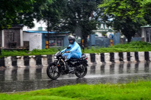
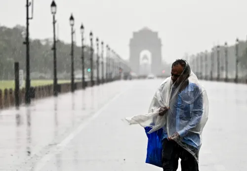
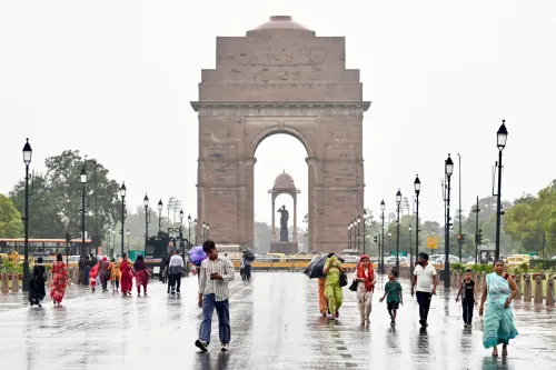
A western disturbance over north Haryana has triggered rain and thunderstorms in Punjab , Haryana , Delhi-NCR , and the Himalayan region ; wind speeds may hit 40-50 km/h .
Temperatures in north India have dropped six to eight degrees but are expected to rise by four to six degrees in coming days.
Monsoon expected to cover Bihar , Odisha , parts of Chhattisgarh and Jharkhand within the next two to three days .
The India Meteorological Department (IMD) on Saturday, 13 June forecast that the country will receive below normal rainfall this monsoon season — approximately 98% of the long-period average — with the El Nino phenomenon expected to remain active through the entire season. While the southwest monsoon has already covered most of the Southern Peninsula, the North-East, and parts of East India, its northward and westward progress is set to slow considerably.
El Nino the key driver
IMD scientist Pradeep Sharma confirmed at a press briefing that El Nino has turned active and is projected to persist throughout the monsoon season. 'We expect El Nino will be active throughout the monsoon season,' Sharma said. 'According to our long-range forecast of the southwest monsoon, we are expecting below normal, about 98 per cent of normal rainfall in the whole country,' he added. El Nino — a warming of Pacific Ocean surface temperatures — typically suppresses Indian monsoon rainfall by disrupting atmospheric circulation patterns over the subcontinent.
Western Disturbance Brings Temporary Relief to North India
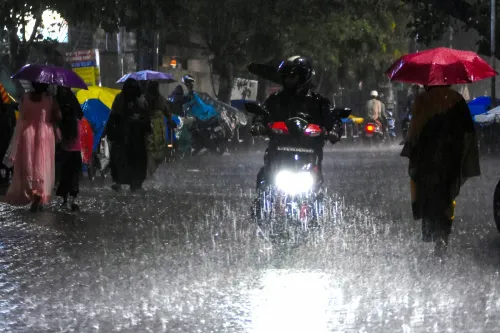
IMD scientist Naresh Kumar noted that a western disturbance over north Haryana and adjoining areas has triggered rainfall and thunderstorm activity across Punjab, Haryana, Delhi-NCR, and the Himalayan region over the past two days. Wind speeds in the region may reach 40 to 50 kilometres per hour, he said. An orange alert had been issued earlier; a yellow alert is currently in effect for Delhi-NCR. Separate orange alerts have been issued for Rajasthan and Madhya Pradesh.
Temperature Drop Across North India
The western disturbance has brought temperatures in north India down by six to eight degrees Celsius, according to Kumar. However, he cautioned that temperatures are expected to rise by four to six degrees in the coming days, though they will remain at or below normal levels. 'In Delhi-NCR, we are expecting light rainfall along with strong winds, which is why we have issued a yellow alert,' Kumar said.
Monsoon Coverage and Advance Outlook
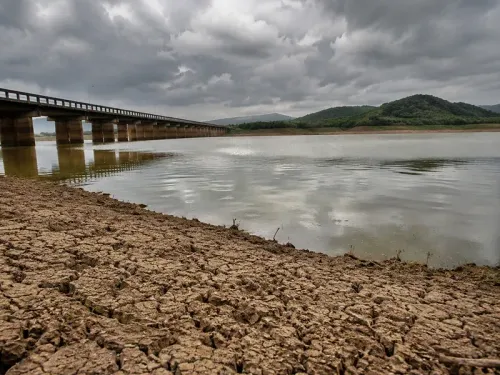
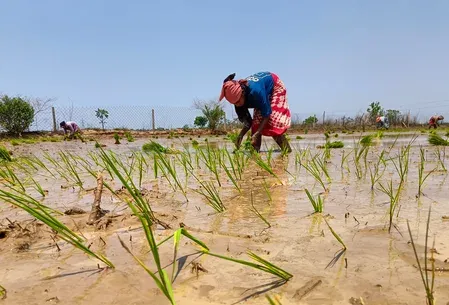
As of 13 June, the monsoon has covered most of South Peninsular India up to Maharashtra, with its further advance having slowed. The North-East and parts of eastern India are also under monsoon influence. Over the next two to three days, the IMD expects the monsoon to extend further into Bihar, Odisha, parts of Chhattisgarh, and Jharkhand, after which progress is likely to remain gradual. This comes amid growing concern from agricultural planners, as a below-normal monsoon directly affects kharif crop sowing timelines and reservoir replenishment across rain-dependent states.
Point of View
But the distribution risk is what matters — and El Nino historically skews deficits toward the critical central and peninsular belts that drive kharif output. The IMD's confirmation that El Nino will persist all season is the headline that agricultural ministries and state governments should be acting on right now. India's reservoir levels and groundwater recharge are built on the assumption of an average monsoon; a sustained shortfall in July and August — the peak sowing months — could translate into food inflation pressure well into the rabi season. The slow advance past Maharashtra is an early warning sign that deserves more than a weather alert.
NationPress
19 Sept 2026
Frequently Asked Questions
What is IMD's monsoon forecast for 2024?
The IMD has forecast below normal rainfall for the 2024 southwest monsoon season, projecting approximately 98% of the long-period average for the country as a whole. The department attributes the deficit outlook primarily to an active El Nino phenomenon.
How does El Nino affect India's monsoon?
El Nino refers to the periodic warming of Pacific Ocean surface temperatures, which disrupts atmospheric circulation and typically weakens the Indian monsoon. The IMD has confirmed that El Nino is now active and is expected to remain so throughout the 2024 monsoon season.
Which parts of India has the monsoon covered so far?
As of 13 June, the monsoon has covered most of South Peninsular India up to Maharashtra, as well as the North-East and parts of East India. The IMD expects it to reach Bihar, Odisha, parts of Chhattisgarh, and Jharkhand within two to three days, after which progress will slow.
Why has a yellow alert been issued for Delhi-NCR?
A yellow alert has been issued for Delhi-NCR due to the influence of a western disturbance currently positioned over north Haryana, which is bringing light rainfall and strong winds with speeds of 40-50 km/h. Separate orange alerts are in effect for Rajasthan and Madhya Pradesh.
Will temperatures rise in north India after the current spell?
Yes, according to IMD scientist Naresh Kumar, temperatures in north India — which have fallen by six to eight degrees due to the western disturbance — are expected to rise by four to six degrees in the coming days, though they will remain at or below normal levels.