BeiDou drones target China's 'paper farming' rice fraud
Synopsis
Officials in Hunan's Jianghua Yao county reported 390,000 mu of rice paddies in 2024 — but only 238,000 mu actually existed. The scandal is now driving calls for mandatory BeiDou satellite and drone verification of China's farmland data.
Key Takeaways
CCTV's Focus Report aired on July 14, 2026 alleged that officials in Jianghua Yao, Yongzhou, Hunan province practised systematic crop-data fraud dubbed 'paper farming' .
Officials reportedly declared 390,000 mu (26,000 hectares) of rice paddies for 2024 , but actual paddy coverage was only 238,000 mu (15,866 hectares) — a shortfall of over 150,000 mu .
Rural policy experts say China needs advanced technology to boost agricultural yields, not simply more farmland mandates.
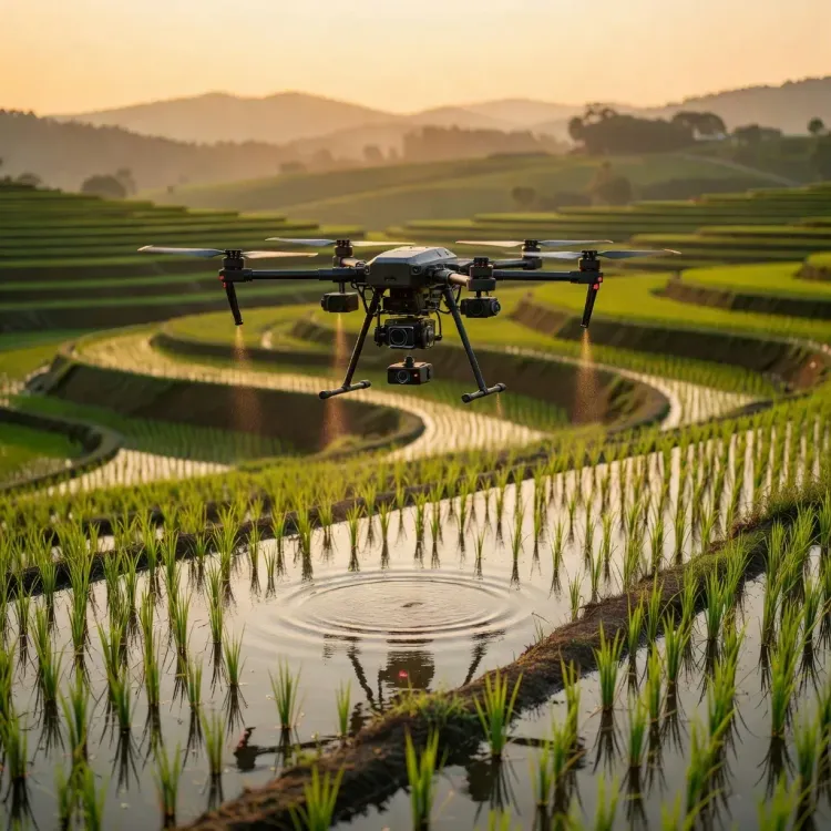
BeiDou , China's domestic satellite navigation system, and agricultural drones are being proposed as verification tools to prevent falsified acreage reporting.
Researchers at the China Academy for Rural Development , Zhejiang University , Hangzhou , have highlighted smart-agriculture technology as a structural fix for data integrity failures.
The Xinjiang Uygur autonomous region has already piloted drone-based farmland monitoring, offering a scalable model for other provinces.
China's food security apparatus is under scrutiny after a state media investigation exposed a widespread practice of inflating farmland figures — and rural policy experts say the answer lies in satellite navigation and drone surveillance, not expanding agricultural land. The scandal, aired on July 14, 2026, has reignited debate about how technology can enforce crop-reporting integrity across the country's vast rural regions.
The 'Paper Farming' Scandal
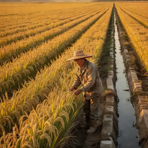
State broadcaster CCTV's investigative programme Focus Report alleged that officials in Jianghua Yao, a county in Yongzhou, Hunan province, systematically misreported the scale of mandatory rice cultivation to meet government targets. Officials reportedly claimed 390,000 mu (26,000 hectares) of rice paddies had been planted in the county during 2024 — but the actual figure was just 238,000 mu (15,866 hectares), a gap of more than 150,000 mu. The programme labelled the practice 'paper farming', noting that a significant portion of the reported crops existed only on official documents.
Why It Matters
The discrepancy strikes at the heart of China's food security strategy, which relies heavily on mandatory rice cultivation quotas to ensure national grain self-sufficiency. When local officials inflate numbers to satisfy targets, central planners receive a distorted picture of actual food production capacity. A rural policy expert cited in reports stressed that what the sector needs is 'more advanced technology and innovation to boost yields' — not simply more farmland or crop mandates.
Technology as the Watchdog
Analysts and researchers, including those affiliated with the China Academy for Rural Development at Zhejiang University in Hangzhou, have pointed to BeiDou — China's homegrown satellite navigation system — and agricultural drones as credible verification tools. Remote sensing data from BeiDou-linked satellites can cross-reference reported paddy field boundaries against actual land-use patterns, making it significantly harder to falsify acreage figures. Drone-based aerial surveys can provide granular, timestamped imagery of crop conditions at the county level.
The Competitive Backdrop
The scandal surfaces at a sensitive moment: China has invested heavily in BeiDou as a strategic alternative to GPS, and its application in precision agriculture and land verification represents a logical extension of that infrastructure. The Xinjiang Uygur autonomous region has already piloted drone-assisted farmland monitoring at scale, offering a template that could be replicated in provinces like Hunan. People's Daily and other state outlets have previously championed smart-agriculture initiatives as central to rural modernisation.
What's Next
The Focus Report investigation is expected to prompt regulatory scrutiny of crop-reporting mechanisms at the county level nationwide. Whether Beijing mandates a standardised satellite-verification protocol for farmland reporting — and how quickly provincial governments can integrate BeiDou and drone data into their compliance workflows — will determine how effectively 'paper farming' can be rooted out. The case of Jianghua Yao may well become the reference point for a broader overhaul of agricultural data governance in China.
Point of View
Beijing insulates a critical data layer from external interference. The real test will be whether the centre has the political will to penalise falsification at scale — technology alone cannot fix a culture of upward-reporting distortion.
NationPress
25 Oct 2026
Frequently Asked Questions
What is 'paper farming' in China?
'Paper farming' refers to the practice of local officials falsely reporting larger areas of cultivated cropland than actually exist, in order to meet government-mandated agricultural targets. In the Jianghua Yao case aired by CCTV on July 14, 2026 , officials reportedly overstated rice paddy coverage by more than 150,000 mu for the 2024 season.
How much did Jianghua Yao officials overstate their rice crop?
Officials in Jianghua Yao county, Hunan province reportedly claimed 390,000 mu (26,000 hectares) of rice paddies for 2024 , when the actual figure was 238,000 mu (15,866 hectares) — a discrepancy of approximately 152,000 mu , according to the Focus Report investigation.
How can BeiDou satellites help stop fake farmland reporting in China?
BeiDou , China's domestic satellite navigation system, can provide remote sensing data that cross-references officially reported paddy field boundaries against real land-use patterns, making acreage falsification significantly harder to sustain. Combined with drone-based aerial surveys offering timestamped imagery, the technology gives central authorities an independent verification layer that bypasses local reporting chains.
Why does food security data integrity matter for China?
China's food security strategy depends on accurate crop data to set national grain self-sufficiency targets and allocate resources effectively. When local officials inflate figures, central planners receive a distorted picture of actual production capacity, potentially leading to policy miscalculations that affect hundreds of millions of people.
Which regions are already using drones for farmland monitoring in China?
The Xinjiang Uygur autonomous region has already piloted drone-assisted farmland monitoring at scale, according to reports, and is widely cited as a model that could be replicated in provinces such as Hunan where the 'paper farming' scandal has emerged.