47 glacial lakes threaten Nepal river corridors with GLOF risk
Synopsis
Forty-seven glacial lakes across Nepal and Tibet have been officially classified as catastrophic flood threats — with 25 sitting across the border in Tibet and beyond Nepal's direct control. More than 85% of eastern Nepal's regional GLOF risk is concentrated in a handful of river corridors, and six priority lakes are already flagged for emergency intervention. The stakes include not just lives but Nepal's hydropower infrastructure.
Key Takeaways
47 glacial lakes classified as Potentially Dangerous Glacial Lakes (PDGLs) by ICIMOD and the Government of Nepal .
21 lakes are within Nepal; 25 are transboundary lakes in Tibet .
Six lakes — including Tsho Rolpa , Imja Tsho , and Lower Barun — flagged for urgent lake-lowering interventions by disaster authorities and UNDP .
More than 85 per cent of regional GLOF risk in eastern and central Nepal is concentrated in the Koshi and Bagmati basins.
Exposed districts include Solukhumbu , Sankhuwasabha , Dolakha , Sindhupalchok , Manang , Lamjung , and Humla , among others.
Hydropower assets and downstream communities across both eastern and western Nepal face direct impact risk in the event of a major outburst.
Scientific assessments by the International Centre for Integrated Mountain Development (ICIMOD) and the Government of Nepal have classified 47 glacial lakes as Potentially Dangerous Glacial Lakes (PDGLs), warning that they could trigger catastrophic glacial lake outburst floods (GLOFs) across Nepal's major river systems. The findings place downstream communities and critical infrastructure across multiple districts on high alert.
Distribution of High-Risk Lakes
Of the 47 classified PDGLs, 21 are located within Nepal, while 25 are transboundary lakes situated in Tibet. All are positioned at the headwaters of rivers flowing southward into Nepal, making downstream populations directly vulnerable to any sudden outburst event.
Disaster management authorities and the United Nations Development Programme (UNDP) have further identified a critical subset of rapidly expanding, moraine-dammed lakes requiring urgent risk-reduction and lake-lowering interventions. The most notable among these are Lower Barun (Tallopokhari), Thulagi (Dona), Lumding Tsho, Hongu 2 / Chamlang South, Tsho Rolpa, and Imja Tsho.
Eastern and Central Nepal: Koshi and Bagmati Basins
More than 85 per cent of total regional risk in eastern and central Nepal is concentrated in vulnerable areas spanning the Koshi and Bagmati basins. The most exposed districts include Solukhumbu, covering the Dudh Koshi and Imja basins; Sankhuwasabha, along the Barun and Arun river corridors; Dolakha, along the Tama Koshi corridor and directly threatened by Tsho Rolpa; and Sindhupalchok, along the Bhote Koshi and Sun Koshi corridors, which faces potential outbursts from transboundary lakes in Tibet.
Downstream river settlements in Ramechhap, Kavrepalanchok, and Rasuwa — particularly along the Trishuli basin — are also identified as vulnerable zones.
Western and Far-Western Nepal: Gandaki and Karnali Basins
Across the Gandaki and Karnali basins, direct impact corridors threaten communities and hydropower assets in several districts. These include Manang and Lamjung along the Marsyangdi basin below Thulagi Lake, Gorkha along the Budhi Gandaki basin, Mustang and Myagdi along the Kali Gandaki basin, and the remote valleys of Humla — including the Limi Valley and the Humla Karnali corridor.
Why This Assessment Matters
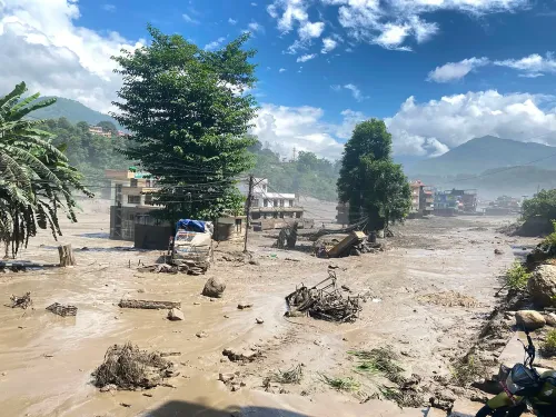
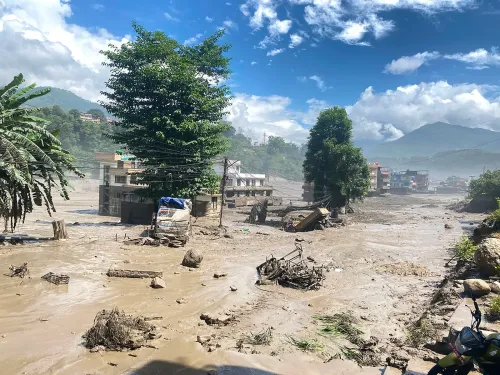
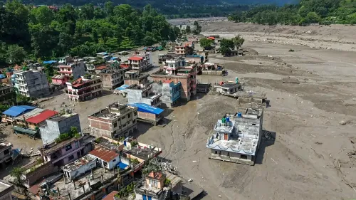
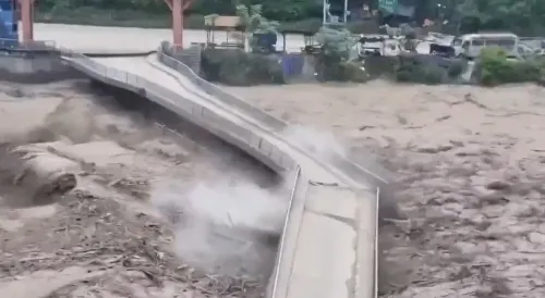
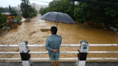
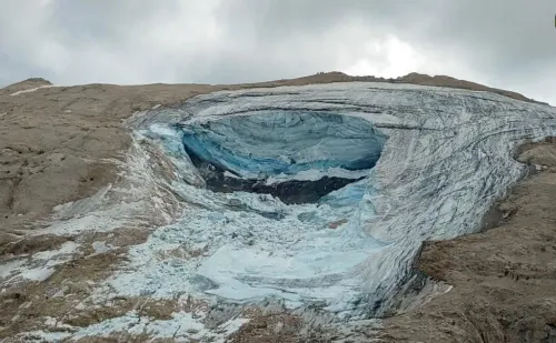
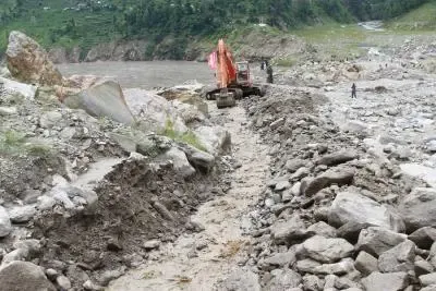
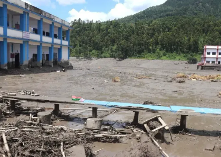
GLOFs are among the most destructive and sudden natural hazards in the Himalayan region. A moraine dam failure can release millions of cubic metres of water within hours, devastating settlements, bridges, and hydropower infrastructure far downstream. This comes amid accelerating glacial retreat driven by climate change, which has expanded the size and number of glacial lakes across the Hindu Kush-Himalaya region over recent decades. Notably, the transboundary dimension — with 25 of the 47 lakes lying in Tibet — underscores the need for bilateral early-warning cooperation between Nepal and China. Going forward, the pace of lake-lowering interventions at priority sites such as Tsho Rolpa and Imja Tsho will be closely watched by disaster risk agencies and downstream communities alike.
Point of View
And any meaningful risk reduction depends on bilateral early-warning mechanisms with China that remain underdeveloped. The domestic lake-lowering programme at sites like Tsho Rolpa has shown results, but it is slow and expensive relative to the pace of glacial expansion. With climate change accelerating lake formation across the Hindu Kush-Himalaya, the inventory of PDGLs will only grow — making the current list of 47 a floor, not a ceiling.
NationPress
27 Aug 2026
Frequently Asked Questions
What are Potentially Dangerous Glacial Lakes (PDGLs) in Nepal?
PDGLs are glacial lakes assessed to pose a significant risk of glacial lake outburst floods (GLOFs) — sudden, large-scale releases of water caused by the failure of a natural dam, typically made of glacial moraine. ICIMOD and the Government of Nepal have classified 47 such lakes across Nepal and the transboundary region in Tibet.
Which glacial lakes in Nepal are considered the most dangerous?
Disaster authorities and the UNDP have identified six lakes as the highest priority for urgent intervention: Lower Barun (Tallopokhari), Thulagi (Dona), Lumding Tsho, Hongu 2 / Chamlang South, Tsho Rolpa, and Imja Tsho. These are rapidly expanding moraine-dammed lakes requiring immediate risk-reduction and lake-lowering measures.
Which districts in Nepal face the greatest GLOF risk?
In eastern and central Nepal, Solukhumbu, Sankhuwasabha, Dolakha, and Sindhupalchok are the most exposed, with more than 85 per cent of regional risk concentrated in the Koshi and Bagmati basins. In western Nepal, Manang, Lamjung, Gorkha, Mustang, Myagdi, and Humla face direct impact risk from the Gandaki and Karnali basin corridors.
Why are transboundary glacial lakes in Tibet a concern for Nepal?
Twenty-five of the 47 classified PDGLs are located in Tibet, at the headwaters of rivers that flow directly into Nepal. A GLOF originating from these lakes would cross the border and strike Nepali communities with little warning time, making bilateral early-warning cooperation with China critical to reducing downstream risk.
What is being done to reduce Nepal's glacial lake outburst flood risk?
Disaster management authorities and the UNDP have identified priority lakes for urgent risk-reduction interventions, including controlled lake-lowering — a process that gradually drains water from high-risk lakes to reduce the volume available for a potential outburst. Tsho Rolpa and Imja Tsho have previously undergone such interventions, though experts note the pace of action needs to accelerate alongside the growing number of dangerous lakes.