CM Fadnavis unveils 324 sq km master plan for Third Mumbai
Synopsis
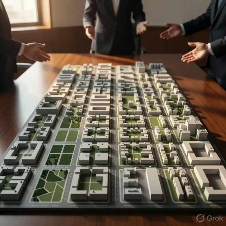
Chief Minister Devendra Fadnavis has announced a 324-square-kilometre master plan for 'Third Mumbai', a new urban node in the Mumbai Metropolitan Region. The statutory blueprint follows Maharashtra's decades-long strategy of building planned satellite cities to decongest island Mumbai.
Key Takeaways
CM Devendra Fadnavis announced a master plan for 'Third Mumbai' on 8 August 2026 .
The plan covers a 324-square-kilometre area, making it one of the largest urban planning exercises in the Mumbai Metropolitan Region .
Third Mumbai is conceived as a new urban node beyond Navi Mumbai , continuing Maharashtra's satellite-city decongestation strategy that began in the 1970s .
The master plan is a statutory instrument that will govern land use, transport, housing, and industrial zones across the designated area.
Next steps include public consultation, approvals from MMRDA or CIDCO , and land acquisition notifications before any ground-level work can begin.
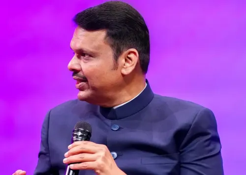
A city beyond the city. On Saturday, 8 August 2026, Chief Minister Devendra Fadnavis announced a sweeping 324-square-kilometre master plan for 'Third Mumbai' — the most ambitious attempt yet to push Maharashtra's urban frontier beyond the limits of both island Mumbai and Navi Mumbai.
What 'Third Mumbai' means and why 324 sq km matters
The Chief Minister's Office of Maharashtra shared the announcement on 8 August 2026, with Fadnavis framing the master plan as the statutory blueprint for a new urban node in the Mumbai Metropolitan Region (MMR). A master plan of this scale — covering 324 square kilometres — sets the legal framework for land use zoning, transport corridors, housing density, and industrial allocation across an area roughly three times the size of the island city itself.
The post, in Marathi, describes the plan as a 'मास्टर प्लॅन' ('master plan') for 'तिसऱ्या मुंबईसाठी' ('Third Mumbai') — signalling that this is not a concept note but a formal planning instrument.
From Navi Mumbai to a third node: Maharashtra's decongestation arc
Mumbai's overcrowding problem is decades old. When island Mumbai hit its limits in the 1970s, the state created Navi Mumbai — a planned satellite city built by the City and Industrial Development Corporation (CIDCO) across the creek. That experiment worked well enough to become a global reference point for planned satellite cities, but Navi Mumbai itself is now maturing into a dense urban centre with its own congestion pressures.
Successive Maharashtra governments have responded with successive planning layers — new nodes, extended development zones, and regional plans covering hundreds of square kilometres. Third Mumbai is the latest, and largest, expression of that logic: if you cannot expand inward, plan outward, but plan it properly from day one.
What comes next for the master plan
A master plan announcement is the starting gun, not the finish line. The 324 sq km document will need to clear public consultation rounds, secure approvals from planning authorities such as the MMRDA or CIDCO, and trigger land acquisition notifications before a single foundation is laid. Real estate developers and MMR residents — especially those in the zones likely to fall within the plan boundary — will watch the detailed document closely once it is released.
For CM Fadnavis, the announcement plants a flagship infrastructure marker early in the planning cycle, keeping the pressure on his administration to move from blueprint to ground-breaking.
Third Mumbai is now on paper. The harder work — land, money, and political will — starts now.
Point of View
However, will be whether land acquisition and inter-agency coordination can keep pace with the ambition on paper.
NationPress
8 Aug 2026
Frequently Asked Questions
What is Third Mumbai?
'Third Mumbai' is a proposed large-scale urban extension in the Mumbai Metropolitan Region, planned beyond Navi Mumbai to accommodate future population and economic growth. CM Devendra Fadnavis announced a 324 sq km master plan for it on 8 August 2026.
How big is the Third Mumbai master plan area?
The master plan covers 324 square kilometres , an area roughly three times the size of island Mumbai, making it one of the largest urban planning zones ever designated in the MMR.
Who will implement the Third Mumbai master plan?
Implementation is expected to involve planning authorities such as the Mumbai Metropolitan Region Development Authority (MMRDA) or CIDCO , which built Navi Mumbai. The plan must clear public consultation and formal approvals before ground work begins.
Why is Maharashtra building a third city near Mumbai?
Both island Mumbai and Navi Mumbai face severe congestion. Maharashtra has a long-standing policy of building planned satellite cities to decongest the core. Third Mumbai is the latest step in that strategy, first used when Navi Mumbai was created in the 1970s.
What happens after the master plan is announced?
The master plan document will go through public consultation, receive approvals from the relevant planning authority, and trigger land acquisition notifications. Only after these stages can construction and infrastructure development begin.