Heavy rain alert for southern, eastern Rajasthan on Aug 10-11
Synopsis
A low-pressure system over northeastern Madhya Pradesh and an active cyclonic circulation are fuelling heavy monsoon rain across southern and eastern Rajasthan, with an orange alert for seven districts and a yellow alert for 24 more. Sunday's downpours already overflowed Jaipur's Kanota Dam and flooded Bikaner roads — and the spell is forecast to continue through 13 August.
Key Takeaways
The Meteorological Department has forecast moderate to heavy rainfall in southern and eastern Rajasthan on 10 and 11 August , with isolated very heavy spells possible.
An orange alert has been issued for 7 districts ; a yellow alert covers 24 districts .
Jaipur's Kanota Dam overflowed on Sunday; roads in Sri Dungargarh, Bikaner were flooded.
Shahbad, Baran recorded nearly 2 inches of rain; temperatures fell by up to 2°C in Nagaur, Bikaner, Jodhpur, Kota, and Pratapgarh.
The rainy spell is expected to continue through 13 August , with western Rajasthan seeing improvement from 14 August and eastern Rajasthan from 15 August .
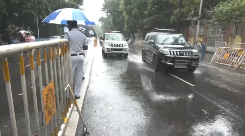
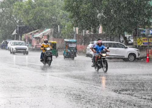
The Meteorological Department has forecast moderate to heavy rainfall across several parts of southern and eastern Rajasthan on 10 and 11 August, with isolated areas likely to receive very heavy rainfall. The forecast is driven by a strengthening low-pressure system over northeastern Madhya Pradesh and an active cyclonic circulation over northeastern Rajasthan, keeping monsoon conditions vigorous across the state.
Alert Zones and Districts
The department has issued an orange alert for seven districts in southeastern Rajasthan, signalling a high probability of heavy to very heavy rain. A yellow alert — indicating moderate rainfall risk — has been extended to 24 districts. The rainy spell is expected to persist through 13 August, after which conditions are likely to turn comparatively dry.
According to Radheshyam Sharma, Director of the Meteorological Centre, Jaipur, the low-pressure area that developed over northeastern Madhya Pradesh and adjoining parts of Chhattisgarh is gradually moving northwestward. The monsoon trough has also shifted southward and returned to its normal position, currently extending through Bikaner, Gwalior, northeastern Madhya Pradesh, Chhattisgarh, and Puri towards the Bay of Bengal.
Sunday's Rainfall: Waterlogging and Overflow
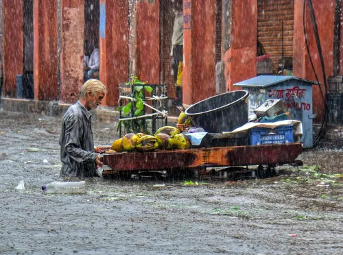
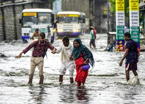
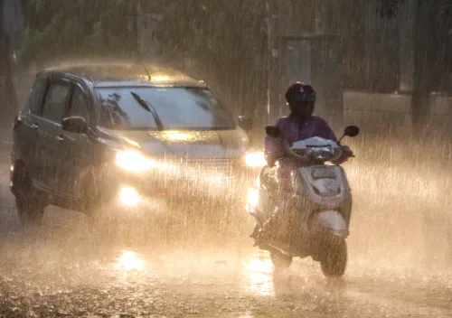
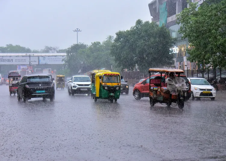
Heavy rain on Sunday had already made its impact felt across the state. Jaipur's Kanota Dam overflowed, and roads in Sri Dungargarh, Bikaner were inundated, with rainwater flowing through streets in large volumes. Significant rainfall was also reported in Hanumangarh and Sri Ganganagar, while Shahbad in Baran district recorded nearly 2 inches of rain.
Temperatures dropped by up to two degrees Celsius in Nagaur, Bikaner, Jodhpur, Kota, and Pratapgarh, though some districts — including Jhunjhunu, Alwar, and Churu — recorded a marginal rise. The maximum temperature across Rajasthan remained below 40 degrees Celsius on Sunday, with Barmer logging the state's highest at 39.9 degrees Celsius.
When Will Conditions Ease
Officials indicate that weather conditions are likely to become comparatively dry in western Rajasthan from 14 August, while rainfall activity in eastern Rajasthan is expected to taper from 15 August. Residents in alert zones are advised to remain cautious through the extended rainy spell.
Point of View
Authorities in flood-prone southeastern districts face a multi-day management challenge, not a single-day emergency. The gradual northwestward movement of the low-pressure area also means districts that were spared Sunday could be next in line.
NationPress
10 Aug 2026
Frequently Asked Questions
Which parts of Rajasthan are under heavy rain alert on 10 August?
Southern and eastern Rajasthan are under the primary alert, with an orange alert issued for seven districts and a yellow alert covering 24 districts. Southeastern Rajasthan faces the highest risk of heavy to very heavy rainfall on 10 and 11 August.
What is causing the heavy rainfall in Rajasthan?
A low-pressure area over northeastern Madhya Pradesh and adjoining Chhattisgarh, combined with an active cyclonic circulation over northeastern Rajasthan, is intensifying monsoon activity. The monsoon trough has also returned to its normal position, further fuelling rainfall across the state.
How long will the rain spell last in Rajasthan?
Rainfall activity is expected to continue through 13 August. Western Rajasthan is likely to see drier conditions from 14 August, while eastern Rajasthan is expected to see a decline in rainfall from 15 August, according to officials.
What damage did Sunday's rain cause in Rajasthan?
Heavy rain on Sunday caused Jaipur's Kanota Dam to overflow and flooded roads in Sri Dungargarh, Bikaner. Significant rainfall was reported in Hanumangarh, Sri Ganganagar, and Baran's Shahbad, which recorded nearly 2 inches of rain.
What was the highest temperature recorded in Rajasthan on Sunday?
Barmer recorded the state's highest temperature at 39.9 degrees Celsius on Sunday. The maximum temperature across Rajasthan remained below 40 degrees Celsius, with several districts seeing a drop of up to two degrees Celsius due to the rain.