IMD red alert for 4 north Bengal districts as heavy rain to lash state through next week
Synopsis
A red alert for four north Bengal hill and foothills districts, a week-long rain forecast for south Bengal, and a dual-trough monsoon system feeding continuous moisture from the Bay — the IMD's 19 July warning signals one of the more sustained wet spells West Bengal has seen this monsoon season.
Key Takeaways
IMD issued a red alert on 19 July for heavy rain in Darjeeling , Jalpaiguri , Kalimpong , and Alipurduar .
Cooch Behar and North Dinajpur are also expected to receive heavy to very heavy rainfall.
South Bengal districts including North 24 Parganas , South 24 Parganas , East Midnapore , West Midnapore , and Jhargram face heavy rain from Tuesday through next Saturday.
Kolkata will see intermittent rain from Sunday, intensifying from Tuesday; minimum temperature recorded at 27.8°C on Sunday morning.
A weak low-pressure area and active cyclonic circulation up to 4.5 km altitude, combined with a monsoon trough stretching from Punjab to the Bay of Bengal, are driving the prolonged wet spell.
Thunderstorms with gusty winds of 30–40 kmph are likely across south Bengal; fishermen advised to monitor updates.
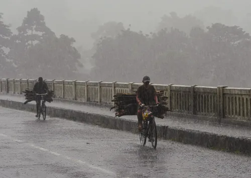
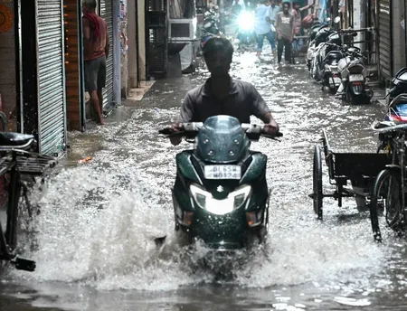
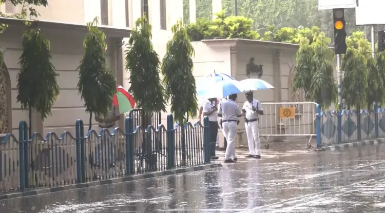
The India Meteorological Department (IMD) on Sunday, 19 July issued a red alert for heavy rainfall in four north Bengal districts over the next two days, while forecasting a prolonged wet spell across south Bengal continuing through next weekend. The warning follows overnight rainfall that has already drenched large parts of the state.
Red Alert Districts and Rainfall Forecast
Officials at the Regional Meteorological Centre (RMC), Alipore, said heavy rainfall is likely on Sunday in Darjeeling, Jalpaiguri, Kalimpong, and Alipurduar — the four districts placed under the red alert. Cooch Behar is expected to receive heavy to very heavy rainfall, while North Dinajpur is also likely to see heavy showers.
Heavy to very heavy rainfall is forecast to persist across north Bengal, including Darjeeling, on Monday, with intensity expected to ease from Tuesday. Scattered lightning activity is also likely in Malda and South Dinajpur districts over the next four days.
South Bengal on Alert from Tuesday
In south Bengal, heavy rainfall is forecast from Tuesday in North 24 Parganas, South 24 Parganas, East Midnapore, West Midnapore, and Jhargram districts. Most districts across the region are expected to receive rain from Sunday through the following Saturday. Thunderstorms accompanied by gusty winds reaching 30–40 kmph are also anticipated.
Kolkata Weather Outlook
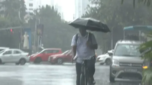
Kolkata is expected to experience intermittent rain from Sunday, with rainfall activity intensifying from Tuesday and continuing through next weekend. On Sunday morning, the city recorded a minimum temperature of 27.8 degrees Celsius, which is 0.9 degrees above normal. The maximum temperature on Saturday stood at 33.2 degrees Celsius, 0.4 degrees above normal. No fresh advisory has been issued for fishermen, though authorities have urged them to monitor weather updates closely.
What Is Driving the Prolonged Wet Spell
Meteorological officials attributed the sustained rainfall to a weak low-pressure area over western Gangetic West Bengal and an active cyclonic circulation extending up to 4.5 km above mean sea level. The monsoon trough currently stretches from Punjab through Haryana, Uttar Pradesh, and Jharkhand to southern West Bengal and the Bay of Bengal, while a secondary trough extends from Bihar to the northwestern Bay. These overlapping systems are channelling a continuous inflow of moisture from the sea.
'The current weather systems are sustaining the rainfall activity across West Bengal. As per the forecast, rain is likely to continue in south Bengal till next Saturday, while a red alert has been issued for four north Bengal districts,' a Met official said.
What Comes Next
The intensity of the wet spell is expected to ease gradually from Tuesday in north Bengal, even as south Bengal enters its heaviest phase of rainfall. Residents in red-alert districts have been advised to stay vigilant, and authorities are closely tracking the evolving low-pressure system for any further intensification.
Point of View
A cyclonic circulation at altitude, and a dual monsoon trough is a textbook recipe for sustained, multi-district flooding — not just isolated downpours. What the IMD warning does not yet quantify is the cumulative soil-saturation risk in the Darjeeling-Jalpaiguri-Kalimpong belt, where steep terrain amplifies flash-flood and landslide exposure. South Bengal's week-long rain window, arriving just as north Bengal begins to ease, suggests the state's disaster-response machinery will need to pivot rapidly between two geographically distinct fronts. The absence of a fresh fishermen's advisory despite intensifying Bay conditions is also worth watching.
NationPress
18 Oct 2026
Frequently Asked Questions
Which districts are under IMD red alert for heavy rain in West Bengal?
The IMD has placed Darjeeling, Jalpaiguri, Kalimpong, and Alipurduar under a red alert for heavy rainfall on 19 July. Cooch Behar and North Dinajpur are also expected to receive heavy to very heavy showers.
How long will heavy rain continue in south Bengal?
Heavy rainfall in south Bengal is forecast to begin from Tuesday and continue through next Saturday, affecting districts including North 24 Parganas, South 24 Parganas, East Midnapore, West Midnapore, and Jhargram.
What is causing the prolonged rainfall in West Bengal?
A weak low-pressure area over western Gangetic West Bengal and an active cyclonic circulation extending up to 4.5 km above mean sea level are the primary drivers. A monsoon trough stretching from Punjab through Haryana, Uttar Pradesh, and Jharkhand to the Bay of Bengal is channelling continuous moisture into the state.
What is the weather forecast for Kolkata this week?
Kolkata will experience intermittent rain from Sunday, with activity intensifying from Tuesday and continuing through the weekend. Sunday morning's minimum temperature was 27.8 degrees Celsius, 0.9 degrees above normal.
Is there any advisory for fishermen in West Bengal?
No fresh advisory has been issued for fishermen as of 19 July, but authorities have urged them to keep monitoring weather updates given the evolving monsoon systems over the Bay of Bengal.