IMD thunderstorm alert for Madhya Pradesh: 60 kmph winds, lightning likely Sunday
Synopsis
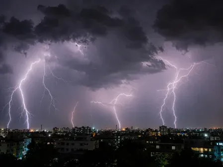
The IMD has put dozens of Madhya Pradesh districts on thunderstorm watch for Sunday evening, with winds up to 60 kmph and lightning risk in five high-alert zones. The warning comes as the Southwest monsoon pushes deeper into West-Central India, backed by a cyclonic circulation over East Uttar Pradesh — signalling that the state's stormy stretch is far from over.
Key Takeaways
The IMD issued a thunderstorm alert for Madhya Pradesh on 7 June , covering dozens of districts.
Harda, Sehore, Dewas, Khandwa , and Omkareshwar face moderate storms with winds up to 60 kmph and lightning.
A wider belt including Bhopal, Indore, Jabalpur and over 30 other districts is under a 40 kmph gusty-wind and lightning watch.
Nusrulgunj recorded the highest rainfall in the past 24 hours at 64 mm ; Itarsi logged 45 mm .
The highest maximum temperature was 42.5°C at Nowgong (Chhatarpur) ; temperatures are expected to rise 2–3°C over the next four days.
Farmers have been advised to secure livestock and postpone field operations ahead of the storms.
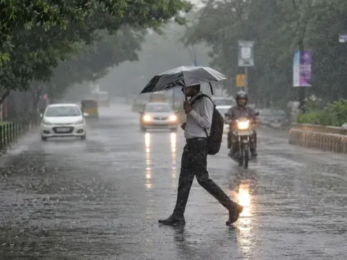
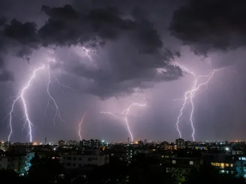
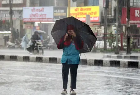
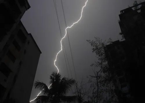
The India Meteorological Department (IMD) has issued a fresh thunderstorm warning for several districts of Madhya Pradesh on Sunday, 7 June, as the Southwest monsoon continues its northward advance across West-Central India. Officials said moderate to severe storms, accompanied by lightning and strong gusty winds, are expected to affect a large swathe of the state by evening.
High-Alert Districts
Moderate thunderstorms with lightning and winds reaching up to 60 kmph are forecast over Harda, Sehore, Dewas, Khandwa, and Omkareshwar. A significantly wider belt — spanning Indore, Bhopal, Ujjain, Jabalpur, Rewa, Shahdol, Balaghat, Chhindwara, Seoni, Mandla, Dindori, Singrauli, Sidhi, and dozens of other districts — is under a light to moderate thunderstorm watch, with gusty winds up to 40 kmph and lightning risk.
Rainfall in the Past 24 Hours
The state recorded scattered rainfall in the preceding 24 hours. The Bhopal division witnessed rain at many places, while Narmadapuram and Shahdol divisions saw rain at a few locations. Isolated showers occurred in Indore, Ujjain, Gwalior, Chambal, and Rewa divisions, with the remaining areas staying mostly dry.
Notable rainfall amounts included Nusrulgunj at 64 mm, Itarsi at 45 mm, and Kusmi at 39.1 mm, with several other stations recording between 20–30 mm.
Temperature Readings
Day temperatures showed little change overall but remained below normal in several divisions. The highest maximum temperature was recorded at 42.5°C in Nowgong (Chhatarpur), while the lowest minimum dipped to 20.2°C in Pachmarhi (Narmadapuram). Minimum temperatures were appreciably below normal in Bhopal and Narmadapuram divisions. A gradual rise of 2–3 degrees Celsius is expected over the next four days as storm activity eases.
Monsoon Advance and Weather Systems
The monsoon has further advanced into parts of West-Central India and the Northeastern states, according to IMD. A cyclonic circulation over East Uttar Pradesh and a trough extending to Telangana are currently influencing weather patterns across central India. Conditions remain favourable for continued monsoon advancement in the coming days.
Safety Advisory
Farmers have been urged to secure livestock, postpone field operations, and protect standing crops ahead of the storms. Motorists are advised to drive cautiously owing to reduced visibility and strong winds. Residents across affected districts are asked to monitor official IMD updates and follow safety protocols to minimise risks from lightning, strong winds, and possible waterlogging in low-lying areas.
Point of View
And the combination of a cyclonic circulation over East Uttar Pradesh and a trough reaching Telangana creates a compounding risk corridor that cuts straight through the state. What tends to get lost in district-by-district advisories is the cumulative exposure: when 30-plus districts are simultaneously under watch, the administrative response capacity — from disaster management teams to rural health infrastructure — is stretched thin. The farm advisory is well-placed, but the window between alert issuance and storm arrival in rural MP remains a persistent gap that authorities have yet to close with real-time local-language dissemination.
NationPress
23 Oct 2026
Frequently Asked Questions
Which districts of Madhya Pradesh are under the IMD thunderstorm alert on 7 June?
The IMD has placed Harda, Sehore, Dewas, Khandwa, and Omkareshwar under a high-alert moderate thunderstorm warning with winds up to 60 kmph. A broader light-to-moderate thunderstorm watch covers Bhopal, Indore, Ujjain, Jabalpur, Rewa, Balaghat, Chhindwara, Seoni, Mandla, Singrauli, and over two dozen other districts.
What wind speeds are forecast during the Madhya Pradesh thunderstorms?
Gusty winds up to 60 kmph are expected in the five high-alert districts — Harda, Sehore, Dewas, Khandwa, and Omkareshwar. The remaining districts under the broader alert can expect winds of up to 40 kmph alongside lightning.
How far has the Southwest monsoon advanced into Madhya Pradesh?
According to the IMD, the Southwest monsoon has further advanced into parts of West-Central India as of 7 June 2025. A cyclonic circulation over East Uttar Pradesh and a trough extending to Telangana are supporting the advance, and conditions remain favourable for further progression in the coming days.
What was the highest rainfall recorded in Madhya Pradesh in the past 24 hours?
Nusrulgunj recorded the highest rainfall at 64 mm, followed by Itarsi at 45 mm and Kusmi at 39.1 mm. Several other stations across the state recorded between 20 and 30 mm in the same period.
What safety precautions have been advised for Madhya Pradesh residents?
The IMD and officials have urged farmers to secure livestock, postpone field operations, and protect standing crops. Motorists are advised to drive carefully due to reduced visibility and strong winds, and all residents are asked to follow official safety protocols to minimise risk from lightning and potential waterlogging.