IMD issues thunderstorm alert for Madhya Pradesh on 6-7 June 2026
Synopsis
The IMD has placed dozens of Madhya Pradesh districts on thunderstorm alert for 6-7 June 2026, with gusts up to 70 kmph, hail, and lightning driven by three simultaneous cyclonic circulations and an advancing Southwest Monsoon. With Bhopal already recording 22.8 mm in a single day, the state is entering its most turbulent stretch of the early monsoon season.
Key Takeaways
The IMD has issued thunderstorm warnings for Madhya Pradesh on 6-7 June 2026 , covering dozens of districts.
Moderate storms with winds up to 70 kmph are forecast for Vidisha , Raisen , Narmadapuram , Harda , Khandwa , and Shahdol .
Bhopal city recorded 22.8 mm of rainfall in the preceding 24 hours ; Satna clocked winds of 56 kmph .
Three active cyclonic circulations and a Western Disturbance are driving the unsettled weather across central India.
Farmers advised to halt harvesting and threshing; residents urged to stay indoors during storms.
Maximum temperatures expected to rise by 2-4 degrees Celsius after the stormy spell subsides.
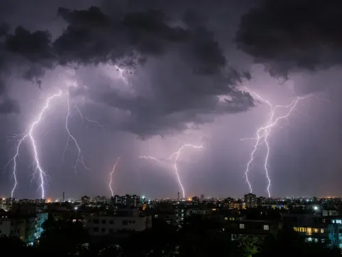
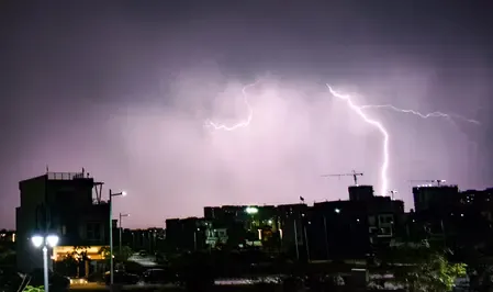
The India Meteorological Department (IMD) has issued fresh weather warnings for Madhya Pradesh, forecasting moderate to heavy thunderstorms with lightning, squall, hail, and gusty winds across several districts on 6-7 June 2026. The warnings come as the Southwest Monsoon continues its active phase over the state, with conditions expected to intensify during evening and night hours.
Districts Under Alert
Moderate thunderstorms with lightning, hail, and wind speeds gusting up to 70 kmph are forecast for Vidisha, Raisen (including Bhimbetka and Sanchi), Narmadapuram (Pachmarhi), Harda, Khandwa (Omkareshwar), and Shahdol.
A broader set of districts — including Sheopur (Kuno National Park), Dewas, Sehore, Morena, Rajgarh, Ujjain (Mahakaleshwar), Shivpuri, Indore, Bhopal (Bairagarh), Sagar, Satna (Chitrakoot), Rewa, and Singrauli, among others — are under alert for lighter thunderstorms with winds up to 50 kmph.
Recent Rainfall and Wind Readings
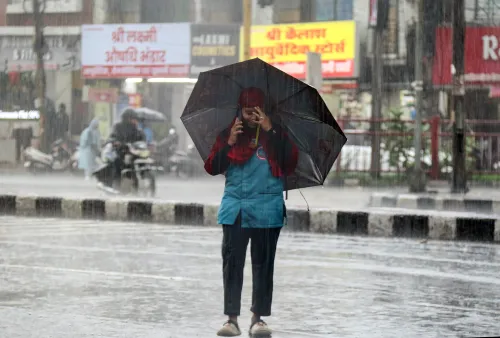
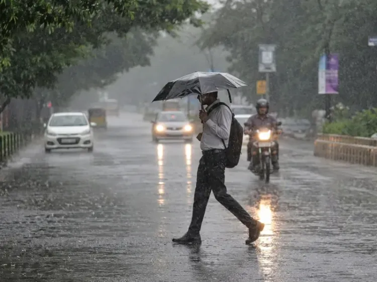
In the 24 hours preceding the bulletin, rainfall was recorded across isolated locations in Bhopal, Indore, Ujjain, Rewa, Shahdol, and Sagar divisions. Bhopal city received 22.8 mm of rain, with Sanwer logging 17 mm, Badnawar recording 12.2 mm, and Ratlam receiving 12 mm.
Gusty winds were also observed, with Satna clocking 56 kmph, Sehore at 48 kmph, and Agar at 44 kmph. Maximum temperatures dropped markedly across several divisions and remained below normal in many areas.
What Is Driving the Weather
The IMD has attributed the unsettled conditions to three active cyclonic circulations over northwest and northeast Uttar Pradesh, Jharkhand, and Punjab, along with associated troughs extending across central India. A trough running through Rajasthan, Madhya Pradesh, Chhattisgarh, and south Odisha is further amplifying rainfall activity. The influence of a Western Disturbance over northwest Uttar Pradesh is an additional contributing factor.
The Northern Limit of the Monsoon has already advanced significantly, and conditions remain favourable for further progress in the coming days. Stormy weather is expected to persist over the next few days, after which maximum temperatures are projected to rise by 2-4 degrees Celsius.
Safety Advisories for Residents and Farmers
The IMD has advised residents to stay indoors during thunderstorms and avoid open fields, trees, and water bodies. Loose objects should be secured ahead of high-wind episodes. Farmers have been urged to postpone harvesting, threshing, and drying operations, ensure proper field drainage, and protect standing crops and farm structures. Livestock should be moved to safe shelters. Residents are advised to monitor updates from the Meteorological Centre, Bhopal, for the latest developments.
Point of View
Which explains why the warning spans such a wide geographic and intensity range, from 50 kmph squalls in Kuno to 70 kmph gusts near Sanchi. The agricultural advisory is the detail that deserves more attention: early-June thunderstorms during active monsoon onset are precisely when standing kharif preparations are most vulnerable, and delayed warnings reaching farmers in remote districts remain a persistent gap in India's last-mile weather communication chain.
NationPress
23 Oct 2026
Frequently Asked Questions
Which districts in Madhya Pradesh are under IMD thunderstorm alert on 6-7 June 2026?
Dozens of districts are under alert. Vidisha, Raisen, Narmadapuram, Harda, Khandwa, and Shahdol face moderate storms with winds up to 70 kmph. A wider set including Indore, Bhopal, Ujjain, Sagar, Rewa, and Singrauli are warned for lighter thunderstorms with winds up to 50 kmph.
What is causing the heavy weather in Madhya Pradesh?
The IMD attributes the conditions to three active cyclonic circulations over northwest and northeast Uttar Pradesh, Jharkhand, and Punjab, combined with a trough across Rajasthan, Madhya Pradesh, Chhattisgarh, and south Odisha. A Western Disturbance over northwest Uttar Pradesh is an additional factor, all coinciding with the advancing Southwest Monsoon.
How much rainfall has Madhya Pradesh already received?
In the 24 hours before the bulletin, Bhopal city received 22.8 mm of rain. Other notable amounts included Sanwer at 17 mm, Badnawar at 12.2 mm, and Ratlam at 12 mm, with rainfall recorded across Bhopal, Indore, Ujjain, Rewa, Shahdol, and Sagar divisions.
What safety measures has the IMD recommended?
Residents are advised to stay indoors during thunderstorms, avoid open fields, trees, and water bodies, and secure loose objects. Farmers should postpone harvesting, threshing, and drying, ensure field drainage, and shelter livestock. Updates should be monitored from the Meteorological Centre, Bhopal.
When will the stormy weather in Madhya Pradesh ease?
The IMD expects stormy conditions to persist over the next few days. After the unsettled spell subsides, maximum temperatures are projected to rise gradually by 2-4 degrees Celsius.