CM Yogi: UP installs 450 weather stations for farmers
Synopsis
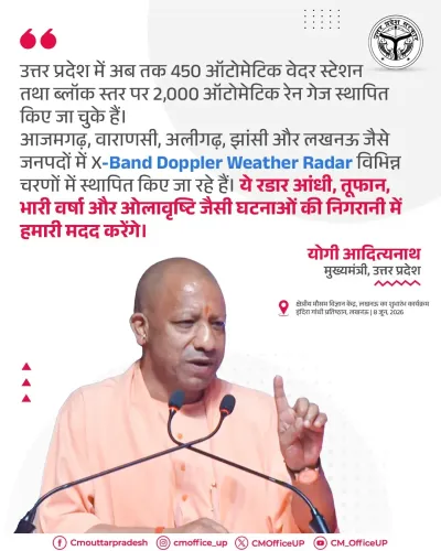
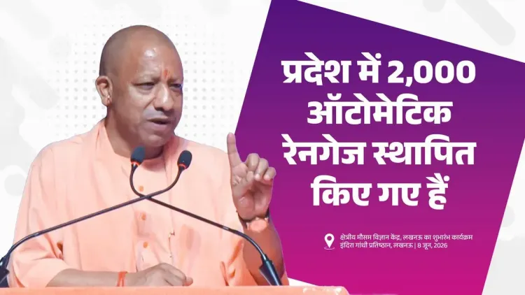
Uttar Pradesh has installed 450 automatic weather stations and 2,000 block-level rain gauges to supply real-time meteorological data to farmers, Chief Minister Yogi Adityanath announced on 8 June 2026, positioning the network as a tool for reducing crop losses from erratic rainfall.
Key Takeaways
450 automatic weather stations have been deployed across Uttar Pradesh to capture real-time meteorological data.
2,000 automatic rain-gauge systems have been installed at the block level , providing granular rainfall readings across the state.
The infrastructure is intended to deliver 'accurate weather and rainfall information' to farmers, described by CM Yogi Adityanath as the annadata .
Uttar Pradesh is India's most populous state and a major producer of wheat, rice, and sugarcane, making localised weather data critical to farm planning.
The rollout mirrors a broader national trend of state-level meteorological infrastructure being integrated with agricultural extension services.
The next key milestone is linking station data to farmer-facing mobile advisory platforms ahead of the kharif season .
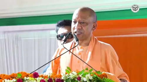
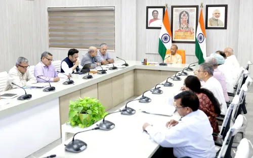
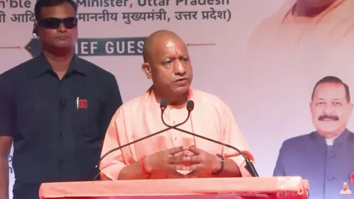
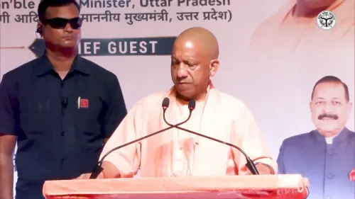
The Chief Minister's Office of Uttar Pradesh, citing Chief Minister Yogi Adityanath, announced on Monday, 8 June 2026 that the state has deployed 450 automatic weather stations and 2,000 automatic rain-gauge systems at the block level to deliver precise meteorological and rainfall data to farmers across the state.
Context
The post, shared by the official CMO account, quotes CM Yogi Adityanath directly: 'उत्तर प्रदेश में हमने 450 ऑटोमेटिक वेदर स्टेशन तथा ब्लॉक स्तर पर 2,000 ऑटोमेटिक रेनगेज सिस्टम स्थापित किए हैं' ('In Uttar Pradesh we have installed 450 automatic weather stations and 2,000 automatic rain-gauge systems at the block level'). The infrastructure is described as a channel through which 'accurate weather and rainfall information is being made available to the farmer — the annadata [provider of food].' The framing of farmers as annadata is a recurring rhetorical signature of the Yogi administration when addressing agrarian policy.
Policy Backdrop
Uttar Pradesh is India's most populous state and one of its largest agricultural producers, with major crops including wheat, rice, and sugarcane spread across tens of thousands of villages. Erratic monsoon behaviour and unseasonal rainfall have historically caused significant crop losses, making localised, real-time weather data a priority for farm management. The India Meteorological Department began scaling its automatic weather station network in the mid-2000s, and several Indian states have since built on that foundation with their own block- and district-level installations to feed hyper-local advisories directly to cultivators.
Uttar Pradesh's network of 450 automatic weather stations and 2,000 block-level rain gauges fits within this broader national pattern of integrating meteorological infrastructure with agricultural extension services. Central government schemes promoting climate-resilient farming through technology have provided both a policy template and partial funding architecture that states have drawn upon for such rollouts.
Stakeholder Impact
The primary beneficiaries are the millions of smallholder and marginal farmers spread across Uttar Pradesh's roughly 826 development blocks. Access to block-level rainfall data can directly influence sowing and harvesting decisions, irrigation scheduling, and pesticide or fertiliser application timings — interventions that translate into measurable reductions in input waste and crop loss. Farmer producer organisations and state agricultural extension officers are also expected to use the data feeds to sharpen their advisory communications.
The rain-gauge density — approximately 2,000 units across the state's blocks — means most blocks have at least one dedicated instrument, a granularity that significantly improves on district-level averages that previously served as proxies for local conditions. The weather stations complement this by capturing temperature, humidity, wind speed, and other variables relevant to crop-disease forecasting.
What's Next
The critical next step will be integration of data streams from these stations into farmer-facing mobile advisory platforms and SMS-based alert systems already operational in the state. Analysts watching the programme will look for evidence of measurable uptake — whether sowing decisions in the upcoming kharif season reflect the hyper-local forecasts now available, and whether the infrastructure holds up through the high-intensity monsoon months. The government's ability to demonstrate a direct link between the network and reduced crop losses will determine the political and policy longevity of the initiative.
Point of View
Particularly ahead of seasons when crop distress can rapidly become a political liability in a state as electorally significant as Uttar Pradesh. Block-level granularity in rainfall measurement is a meaningful infrastructural step — most states still rely on district averages — and if the data is effectively piped to farmer advisory platforms, it could represent a genuine improvement in climate resilience for smallholders. The framing of farmers as annadata is consistent with the administration's broader rhetorical posture, but the real test will be whether the network is maintained and whether its outputs are accessible to the farmers it is meant to serve. Observers will watch whether this becomes an integrated system or remains a headline infrastructure figure.
NationPress
22 Oct 2026
Frequently Asked Questions
How many automatic weather stations has Uttar Pradesh installed for farmers?
Uttar Pradesh has installed 450 automatic weather stations across the state, along with 2,000 automatic rain-gauge systems at the block level, to provide farmers with accurate weather and rainfall data.
What is the purpose of UP's block-level rain gauge network?
The 2,000 block-level automatic rain gauges are designed to give hyper-local rainfall readings, helping farmers make better decisions on sowing, irrigation, and harvesting rather than relying on broad district-level averages.
Who announced the weather station network in Uttar Pradesh?
Chief Minister Yogi Adityanath made the announcement, with the statement shared by the official Chief Minister's Office of Uttar Pradesh on 8 June 2026.
How does UP's weather infrastructure help farmers?
The stations provide precise, real-time data on rainfall, temperature, and other meteorological variables, which can reduce crop losses by enabling timely farm decisions — particularly important in a state prone to erratic monsoon patterns.
Is this weather station programme part of a central government scheme?
While Uttar Pradesh's installation is a state-level initiative, it aligns with central government programmes promoting climate-resilient farming through technology, and builds on the India Meteorological Department's long-running effort to expand automated weather monitoring across India.