Uttarakhand CMO shares Char Dham highway status update
Synopsis
The Chief Minister's Office of Uttarakhand published a real-time status update on Char Dham and other national and state highways on 8 August 2026, providing pilgrims and residents with road condition information during the peak monsoon season.
Key Takeaways
The Chief Minister's Office of Uttarakhand posted a highway status update on 8 August 2026 covering Char Dham routes and national and state highways.
The update was shared as an image, the CMO's standard format for real-time road-condition advisories.
The Char Dham all-weather road project , approved by the Union Cabinet in 2016 , covers approximately 900 km of roads linking Badrinath, Kedarnath, Gangotri, and Yamunotri.
Highway maintenance in Uttarakhand involves coordination between NHAI, BRO, and the state PWD amid difficult Himalayan terrain.
August falls in peak monsoon season, when landslides and road closures pose serious risks to pilgrims and hill residents.
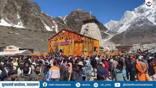
Pilgrims heading to the sacred shrines of Badrinath, Kedarnath, Gangotri, and Yamunotri — and travellers on Uttarakhand's broader highway network — got an official snapshot of road conditions on Saturday, 8 August 2026, as the Chief Minister's Office of Uttarakhand posted a current status update on the Char Dham routes and other national and state highways across the hill state.
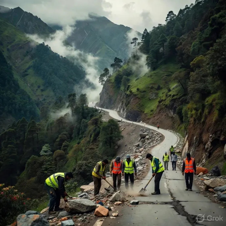
The post, shared with the caption 'चारधाम एवं अन्य राष्ट्रीय राजमार्गों तथा राज्य राजमार्गों की वर्तमान स्थिति' ('Current status of Char Dham and other national highways and state highways'), was accompanied by an image — a format the CMO regularly uses to relay real-time road conditions to pilgrims and residents during the active yatra season.
Why highway status in Uttarakhand demands constant watching
Uttarakhand's highway network is among the most geologically sensitive in the country. The Char Dham all-weather road project, which received Union Cabinet approval in 2016, set out to upgrade approximately 900 km of roads linking the four pilgrimage sites — a project that combines mass religious tourism with strategic connectivity near India's northern borders. But 'all-weather' is an aspiration as much as a promise in the Himalayas, where the monsoon season routinely triggers landslides, rockfalls, and road closures that can strand thousands of pilgrims overnight.
The National Highways Authority of India (NHAI), the Border Roads Organisation (BRO), and the state's Public Works Department (PWD) share responsibility for maintaining these corridors — a coordination challenge that state authorities have worked to streamline over successive yatra seasons.
The Char Dham yatra and the stakes of road access
The four shrines — Badrinath in Chamoli district, Kedarnath in Rudraprayag, Gangotri in Uttarkashi, and Yamunotri also in Uttarkashi — draw millions of devotees every year between the portals' opening in May and their closure before winter. A blocked highway is not an inconvenience for this crowd; it is a safety emergency. Pilgrims, local hill residents, and the tourism sector that sustains entire valley economies all depend on timely, accurate road-condition information.
Regular CMO updates of this kind serve as an early-warning and planning tool — letting pilgrims, transport operators, and district administrations adjust routes or schedules before conditions deteriorate further.
With monsoon rains at their peak in August, the government's practice of publishing highway status updates is a critical piece of the state's pilgrim-safety infrastructure — one that agencies and travellers alike will be watching closely in the weeks ahead.
Point of View
Where highway disruptions during the yatra season carry both humanitarian and economic consequences, these updates are as much crisis-communication infrastructure as they are routine advisories. The regularity of such posts also signals the state's awareness that pilgrim confidence in road safety is inseparable from the health of its tourism economy. As the Char Dham project matures, the quality and frequency of these real-time updates will be a quiet but telling indicator of how well the state is managing its connectivity promise.
NationPress
8 Aug 2026
Frequently Asked Questions
What is the current status of Char Dham highways in Uttarakhand?
The Chief Minister's Office of Uttarakhand shared an official image-based update on Char Dham and other highway conditions on 8 August 2026. Travellers should check the latest CMO advisory before departing, as monsoon conditions can change road status rapidly.
Which four sites are covered by the Char Dham highway project?
The Char Dham highway project covers roads leading to Badrinath (Chamoli), Kedarnath (Rudraprayag), Gangotri (Uttarkashi), and Yamunotri (Uttarkashi) — the four major Hindu pilgrimage shrines in Uttarakhand.
When was the Char Dham all-weather road project approved?
The Union Cabinet approved the Char Dham all-weather road connectivity project in 2016 , targeting the upgrade of approximately 900 km of national highways linking the four pilgrimage sites.
Who is responsible for maintaining highways in Uttarakhand?
Highway maintenance in Uttarakhand is shared among the National Highways Authority of India (NHAI) , the Border Roads Organisation (BRO) , and the state's Public Works Department (PWD) , depending on the classification of the road.
Are Char Dham roads open during monsoon season?
Char Dham roads remain open during monsoon but are vulnerable to landslides and rockfalls. The Uttarakhand government regularly publishes real-time highway status updates — as it did on 8 August 2026 — to help pilgrims and residents plan safe travel.