Philippines earthquake: 7.8-magnitude quake kills 5, tsunami waves hit 1.4m
Synopsis
A 7.8-magnitude quake off Mindanao has killed at least five people, triggered tsunami waves of up to 1.4 metres, and put nine coastal provinces on evacuation alert. With tsunami conditions expected to persist through Monday morning and damage assessments still ongoing, the full toll remains unclear — and the Philippines' chronic seismic vulnerability is once again in sharp focus.
Key Takeaways
A 7.8-magnitude earthquake struck offshore Mindanao, Philippines on 8 June at 7:37 am local time .
At least five people have been reported dead, with authorities still verifying the full toll.
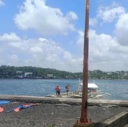
Tsunami waves of up to 1.4 metres were recorded; first waves were expected to arrive Monday morning and last for hours.
Nine coastal provinces were placed under tsunami warning, with residents ordered to evacuate to higher ground.
President Ferdinand Romualdez Marcos ordered disaster response and monitoring across all affected areas.
Buildings collapsed and power outages were reported near the epicentre, close to General Santos City (population ~ 700,000 ).
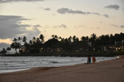
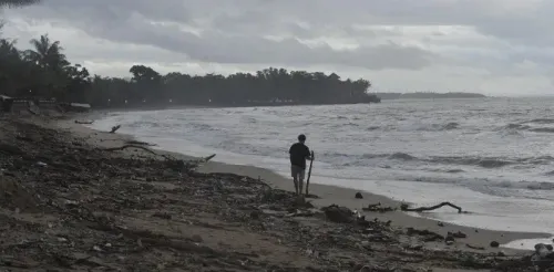
A powerful 7.8-magnitude earthquake struck the southern Philippines on 8 June, killing at least five people and triggering tsunami waves of up to 1.4 metres along the coastline of Mindanao Island. Authorities warned that the first tsunami waves were expected to arrive Monday morning and continue for several hours.
What Happened
The tectonic earthquake struck at 7:37 am local time at a depth of 33 km, with its epicentre located 32 km southwest of the coast of Maasim town in Sarangani Province, close to General Santos City — a coastal hub with a population of approximately 700,000. The quake was recorded by the Philippine Institute of Volcanology and Seismology (PHIVOLCS), which confirmed the highest tsunami wave measured reached 1.4 metres.
Agripino Dacera, the disaster management chief in General Santos City, said authorities were still verifying the full extent of fatalities and damage at the time of reporting.
Tsunami Warning and Evacuation Orders
PHIVOLCS issued a tsunami warning covering nine coastal provinces, strongly urging residents to immediately evacuate to higher ground or move farther inland. Philippine President Ferdinand Romualdez Marcos ordered disaster response and monitoring operations across all affected areas and personally urged citizens in vulnerable zones to relocate to safety.
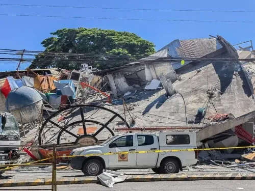
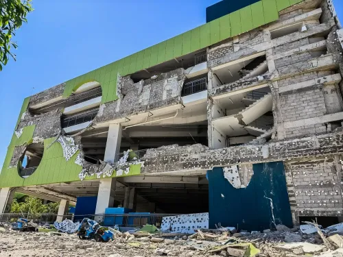
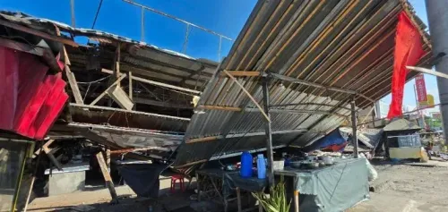
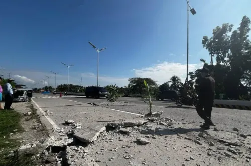
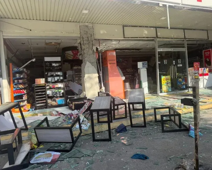
Local media reported that some buildings collapsed in the aftermath of the quake, and power outages were recorded across parts of the affected region. Tremors were felt in several neighbouring provinces.
Why This Region Is Vulnerable
The earthquake occurred offshore near Mindanao, the second-largest island in the Philippines and one of the most seismically active zones on the planet. The Philippines sits along the Pacific 'Ring of Fire' — a belt of major tectonic plate boundaries responsible for the majority of the world's earthquakes and volcanic eruptions. This geographic reality makes the archipelago one of the most disaster-prone nations in Asia.
Notably, this is not the first major seismic event to strike Mindanao in recent years; the island has recorded multiple destructive earthquakes over the past decade, underscoring the chronic vulnerability of its coastal communities.
Damage and Response
Beyond the confirmed fatalities, local media accounts described structural damage to buildings and widespread power disruption. Disaster response teams have been deployed, and the government's monitoring apparatus remains on high alert as tsunami conditions were expected to persist through Monday morning. The full scale of casualties and infrastructure damage was still being assessed.
As rescue and relief operations continue, authorities are urging residents in coastal areas to remain away from shorelines until official all-clear notices are issued.
Point of View
Not the final one — damage assessments in coastal Mindanao after a 7.8-magnitude event take days, and tsunami inundation compounds structural casualties in ways that are rarely captured in the first hours. The Philippines has invested in early-warning infrastructure, and PHIVOLCS's rapid nine-province tsunami alert reflects that progress. But the recurring pattern of major quakes near densely populated Mindanao coastal zones raises a harder question: whether evacuation compliance and building codes have kept pace with the warning systems. The Ring of Fire does not wait for policy to catch up.
NationPress
24 Oct 2026
Frequently Asked Questions
How strong was the Philippines earthquake on 8 June?
The earthquake measured 7.8 magnitude and struck at a depth of 33 km, with its epicentre 32 km southwest of Maasim town in Sarangani Province, Mindanao. It is classified as a major earthquake capable of causing severe damage over large areas.
How many people were killed in the Philippines earthquake?
At least five people were reported dead as of initial reports, according to disaster management chief Agripino Dacera of General Santos City. Authorities said they were still verifying the full extent of fatalities and damage.
Was a tsunami warning issued after the Philippines earthquake?
Yes. The Philippine Institute of Volcanology and Seismology issued a tsunami warning for nine coastal provinces, advising immediate evacuation to higher ground. The highest wave recorded reached 1.4 metres, and tsunami conditions were expected to continue through Monday morning.
Where exactly did the earthquake hit in the Philippines?
The epicentre was located 32 km southwest of Maasim town in Sarangani Province on Mindanao Island, close to General Santos City. Tremors were felt across several neighbouring provinces.
Why does the Philippines experience so many earthquakes?
The Philippines lies along the Pacific 'Ring of Fire', a zone of major tectonic plate boundaries that accounts for the majority of the world's seismic and volcanic activity. Mindanao in particular sits in one of the most seismically active corridors in the region.