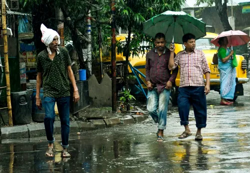


Bay of Bengal cyclone threat: Heavy rain alert for south Bengal from Wednesday

Synopsis
A low-pressure system in the Bay of Bengal is set to intensify into a cyclone by Monday evening, triggering heavy rain across south Bengal from Wednesday through Saturday. Coastal districts South 24 Parganas and East Midnapore face the heaviest downpour, with wind gusts over the sea potentially hitting 105 kmph — a significant mid-November weather event for eastern India.
Key Takeaways
A Bay of Bengal low-pressure system is expected to become a cyclone by Monday evening , according to the RMC, Kolkata .
Rain is forecast across south Bengal from Wednesday, 19 November to at least Saturday, 22 November .
South 24 Parganas and East Midnapore face heavy rain alerts from Thursday to Saturday .
Howrah , Jhargram , and West Midnapore are under heavy rain warning for Friday and Saturday .
Sea wind speeds may reach 85–95 kmph , with gusts up to 105 kmph at peak intensity.
North Bengal districts including Darjeeling and Jalpaiguri are expected to remain dry.
Kolkata and several districts of south Bengal are bracing for heavy rain and thunderstorms from Wednesday, 19 November, as a low-pressure system in the Bay of Bengal is expected to intensify into a cyclone by Monday evening, according to the Regional Meteorological Centre (RMC), Kolkata. The developing weather system poses a significant risk to coastal and inland districts through at least Saturday, 22 November.
How the system is developing
The low-pressure area over the southeast Bay of Bengal took a defined shape on Saturday and is set to develop into a deep depression before gradually intensifying. Meteorologists at the RMC estimate the system will evolve into a full cyclone on Monday evening, forming over the middle of the south and adjacent west-central Bay of Bengal.
A separate upper-level cyclonic circulation sits at an altitude of 7.6 kilometres above sea level and is likely to gather further strength by early Wednesday. At peak intensity, wind speeds over the sea could reach 85 to 95 kilometres per hour, with gusts touching 105 kilometres per hour, according to the RMC forecast.
District-wise rain warning
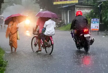
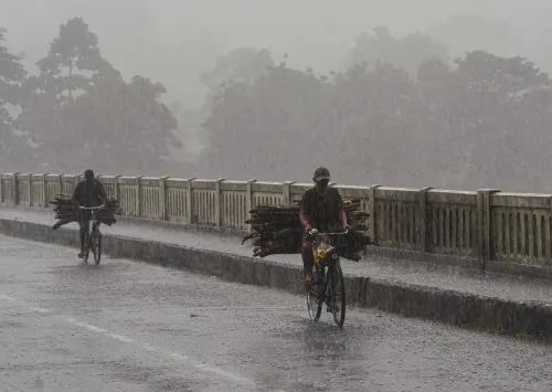
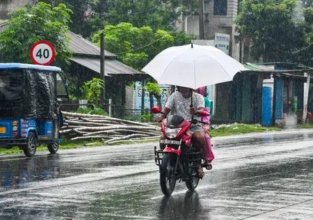
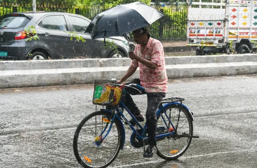
Rain is forecast across nearly all districts of south Bengal from Wednesday through Saturday. The heaviest precipitation is expected in South 24 Parganas and East Midnapore districts from Thursday to Saturday, given their direct coastal exposure to the Bay.
Howrah, Jhargram, and West Midnapore have been placed under a heavy rain alert for Friday and Saturday. Kolkata itself is expected to see rain from Wednesday but falls outside the heavy-rain warning zone. The RMC has not yet issued a warning for fishermen venturing into the sea.
North Bengal stays dry
The developing system is not forecast to affect north Bengal. Districts including Darjeeling, Kalimpong, Jalpaiguri, and Alipurduar are likely to remain largely dry. Scattered rain is possible in Darjeeling and Kalimpong on Sunday and Monday, after which dry weather is expected to prevail across the north, with no significant temperature change anticipated.
Temperature outlook for south Bengal
Temperatures in south Bengal are expected to remain stable for the next three days, with a possible rise of two to three degrees Celsius over the following two days, particularly during thunderstorm activity. Kolkata's minimum temperature on Sunday morning stood at 21.7 degrees Celsius, which is 1.4 degrees above the seasonal normal. The city's maximum on Saturday was recorded at 29 degrees Celsius, 1.6 degrees below normal — suggesting the approaching system is already modulating local conditions.
What residents should watch
With the cyclone forecast to intensify through mid-week, authorities and residents in coastal districts of south Bengal — particularly South 24 Parganas and East Midnapore — are advised to monitor official updates closely. This comes amid the post-monsoon Bay of Bengal season, which historically generates some of the most active cyclonic systems affecting eastern India. The situation will continue to evolve as the depression deepens over the next 48 hours.
Point of View
The absence of a fishermen's alert at this stage could change quickly as the system deepens — authorities will need to issue timely advisories within the next 24 hours to allow vessels to return to port. The broader question is preparedness infrastructure in Jhargram and West Midnapore, inland districts less accustomed to cyclone-driven rain events, where drainage and early-warning reach remain inconsistent.
NationPress
15 Nov 2026
Frequently Asked Questions
When will the cyclone form in the Bay of Bengal?
The low-pressure system in the Bay of Bengal is expected to intensify into a cyclone by Monday evening, 18 November, according to the Regional Meteorological Centre in Kolkata. It is currently developing from a deep depression over the southeast Bay.
Which districts in south Bengal will get the heaviest rain?
South 24 Parganas and East Midnapore are forecast to receive the heaviest rainfall from Thursday to Saturday. Howrah, Jhargram, and West Midnapore are also under a heavy rain warning for Friday and Saturday.
Will Kolkata experience heavy rain due to the cyclone?
Kolkata is expected to see rain from Wednesday through Saturday under the influence of the system, but the RMC has not issued a heavy rain warning specifically for the city. No significant temperature change is forecast for south Bengal over the next three days.
Is north Bengal affected by the Bay of Bengal system?
No, the low-pressure system is not forecast to affect north Bengal. Districts like Darjeeling, Kalimpong, Jalpaiguri, and Alipurduar are expected to remain largely dry, with only scattered rain possible in Darjeeling and Kalimpong on Sunday and Monday.
What wind speeds are expected from the cyclone?
At peak intensity, wind speeds over the Bay of Bengal could reach 85 to 95 kilometres per hour, with gusts touching 105 kilometres per hour, according to the RMC forecast. No fishermen's warning has been issued yet, but the situation is being monitored closely.